
User:Sengkang/Gallery/Rochor Planning Area
< User:Sengkang | Gallery
This is a catalogue of photographs that I have taken of Singapore geographical features, infrastructure and buildings in my leisure time. All images shown may be used anywhere in Wikipedia. Do drop me a note at my talk page if you intend to use them for other purposes. Thanks!
Rochor Planning Area[edit]
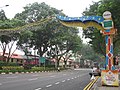
Bencoolen Street[edit]
-
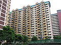
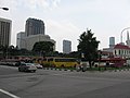
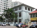
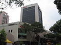 Albert Complex
 -
 Albert Complex
 -
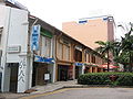
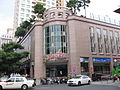 Burlington Square
 -
 Burlington Square
 -
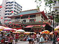 Kwan Im Thong Hood Cho Temple
 -
 Kwan Im Thong Hood Cho Temple
 -
 Sri Krishnan Temple
 -
 Sri Krishnan Temple
 -
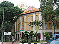
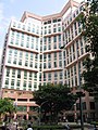 The Bencoolen
 -
 The Bencoolen


Nanyang Academy of Fine Arts[edit]


Sim Lim Square[edit]


Bras Basah[edit]
-
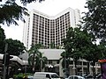
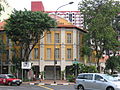
 Allson Hotel

Church of Saint Joseph[edit]


Church of Saint Peter and Saint Paul[edit]


Maghain Aboth Synagogue[edit]


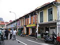
Jalan Besar[edit]
-
 Jalan Besar
 -
 Kelantan Court
 -
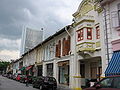
 Kelantan Road
 -
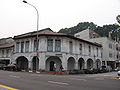
 Pitt Street
 -
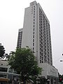
 Sim Lim Tower
 -
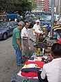 Sungei Road
 -
 Sungei Road
 -
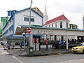
 Weld Road


Kampong Glam[edit]
-
 Aliwal Street
 -
 Aljunied Islamic School
 -
 Alsagoff Arab School
 -
 Bali Lane
 -
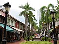 Bussorah Mall
 -
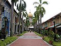 Bussorah Mall
 -
 Golden Landmark Hotel
 -
 Golden Landmark Hotel
 -
 Jalan Klapa
 -
 Jalan Kledek
 -
 Jalan Kubor
 -
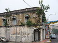 Jalan Kubor
 -
 Jalan Kubor
 -
 Jalan Kubor
 -
 Jalan Pinang
 -
 Jalan Pisang
 -
 Jalan Sultan
 -
 Kandahar Street
 -
 Kandahar Street
 -
 Kandahar Street
 -
 Muscat Street
 -
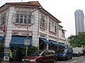
 Ophir Road
 -
 Rochor Canal


Arab Street[edit]


Malay Heritage Centre, Istana Kampong Glam[edit]


Masjid Malabar[edit]


Masjid Sultan[edit]


North Bridge Road[edit]


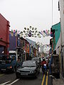
Little India[edit]

-
 Campbell Lane
 -
 Clive Street
 -
 Dalhousie Lane
 -
 Desker Road
 -
 Dunlop Street
 -
 Dunlop Street
 -
 Hastings Road
 -
 Little India Arcade
 -
 Masjid Angullia
 -
 Masjid Angullia
 -
 Norris Road
 -
 Perak Road
 -
 Rowell Road
 -
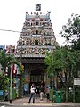 Sri Veerama Kaliamman Temple
 -
 Tekka Centre
 -
 Tekka Centre
 -
 Tekka Mall
 -
 Tekka Mall
 -
 Tekka Mall


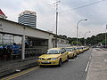
Little India MRT station[edit]


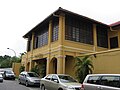
Masjid Abdul Gaffoor[edit]


Serangoon Road[edit]


Queen Street[edit]
-
 Arab Street
 -
 Ban San Street
 -
 Ban San Street
 -
 Ban San Street
 -
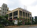
 Fu Lu Shou Complex
 -
 Middle Road
 -
 Rochor Canal Road
 -
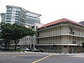
 Stamford Primary School
 -
 Victoria Street Wholesale Centre


Bugis Village[edit]
-

-

-
 Bugis Street


Church of Our Lady of Lourdes[edit]


Queen Street Bus Terminal[edit]


Selegie[edit]
-
 Elections Department
 -
 Prinsep Street
 -
 Rochor House
 -
 Saint Margaret's Primary School
 -
 Selegie Arts Centre


Albert Court[edit]
-
-
-
-

-

-

-

-
 Albert Court Hotel


