There are numerous example of cartographic disinformation as well. These usually occurred when map-makers wanted to mislead military planners from potential adversaries. For example, during the
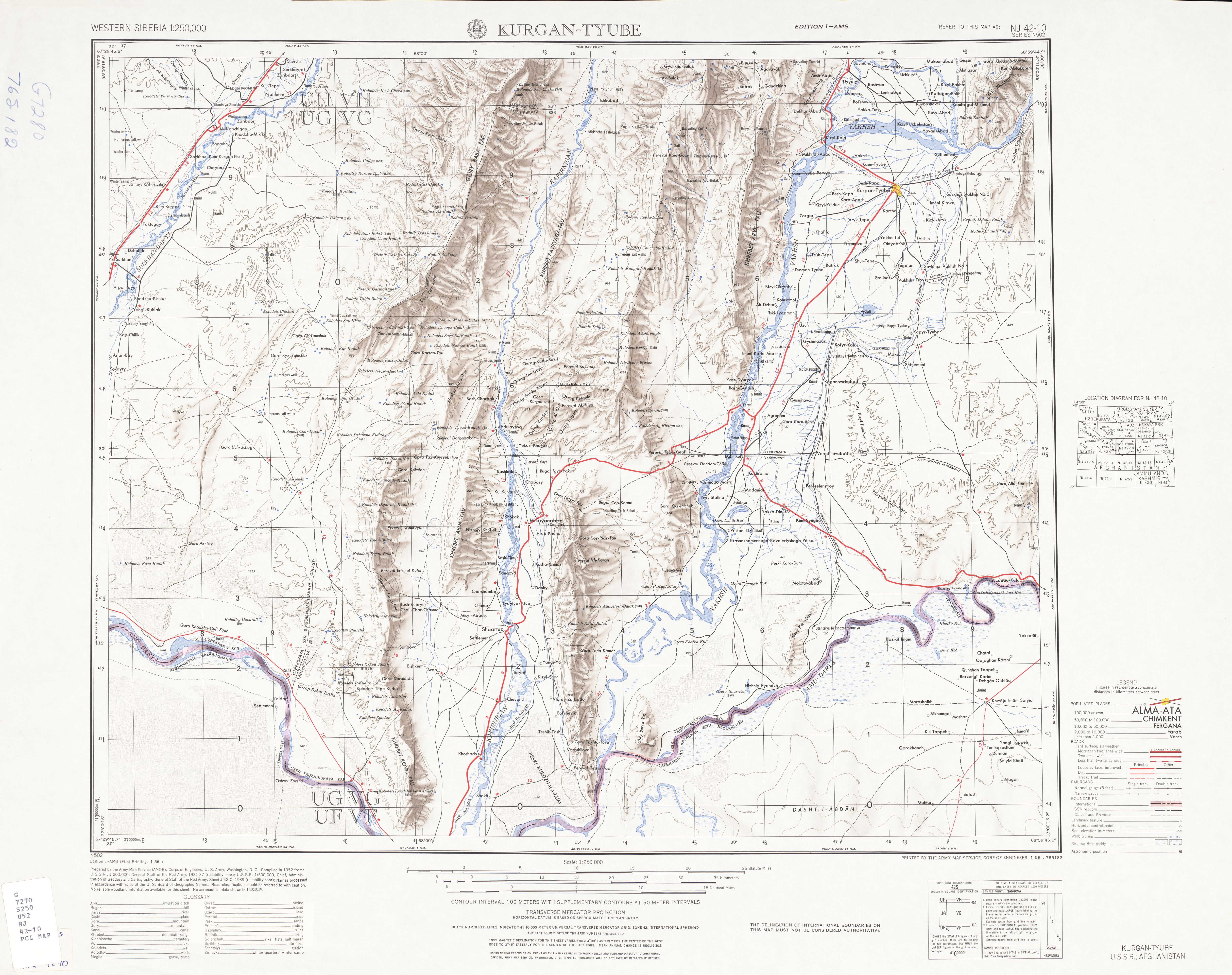
File:Kulyab-Soviet.jpgMap produced by the Soviets. Source: Главное Управлние Геодезии и Картографии, При Совете Министро СССР, Title: Кулябская и Кургар-Тюбинская Области, Sheet: T-10930, Scale: 1:400,000, Date: 1982File:Kulyab-AMS.jpgMap produced by the Army Map Service (AMS). Source: Army Map Service, Corps of Engineers, Title: Kulyab, Series: N502, Sheet: NJ 42-11, Scale: 1:250,000, Date: 1952File:Kulyab-AMS-overlay.jpgThe green lines indicate roads that are shown on the Soviet map, but not on the map produced by the Army Map Service (AMS). Source: Army Map Service, Corps of Engineers, Title: Kulyab, Series: N502, Sheet: NJ 42-11, Scale: 1:250,000, Date: 1952File:Kulyab-Soviet-overlay.jpgThe green lines indicate roads that are shown on the map produced by the Army Map Service (AMS), but not on the Soviet map. Source: Главное Управлние Геодезии и Картографии, При Совете Министро СССР, Title: Кулябская и Кургар-Тюбинская Области, Sheet: T-10930, Scale: 1:400,000, Date: 1982
