
Mount Studencheskaya
| Mount Studencheskaya | |
|---|---|
| Гора Студенческая | |
 Mount Studencheskaya Location in Jewish Autonomous Oblast, Russia | |
| Highest point | |
| Elevation | 1,421 m (4,662 ft)[1] |
| Prominence | 852 m (2,795 ft)[2] |
| Coordinates | 49°15′16″N 132°18′28″E / 49.25444°N 132.30778°E[2] |
| Geography | |
| Location | Obluchensky District Jewish Autonomous Oblast, Russian Far East |
| Parent range | Bureya Range |
| Climbing | |
| Easiest route | From Teploozyorsk or Londoko |
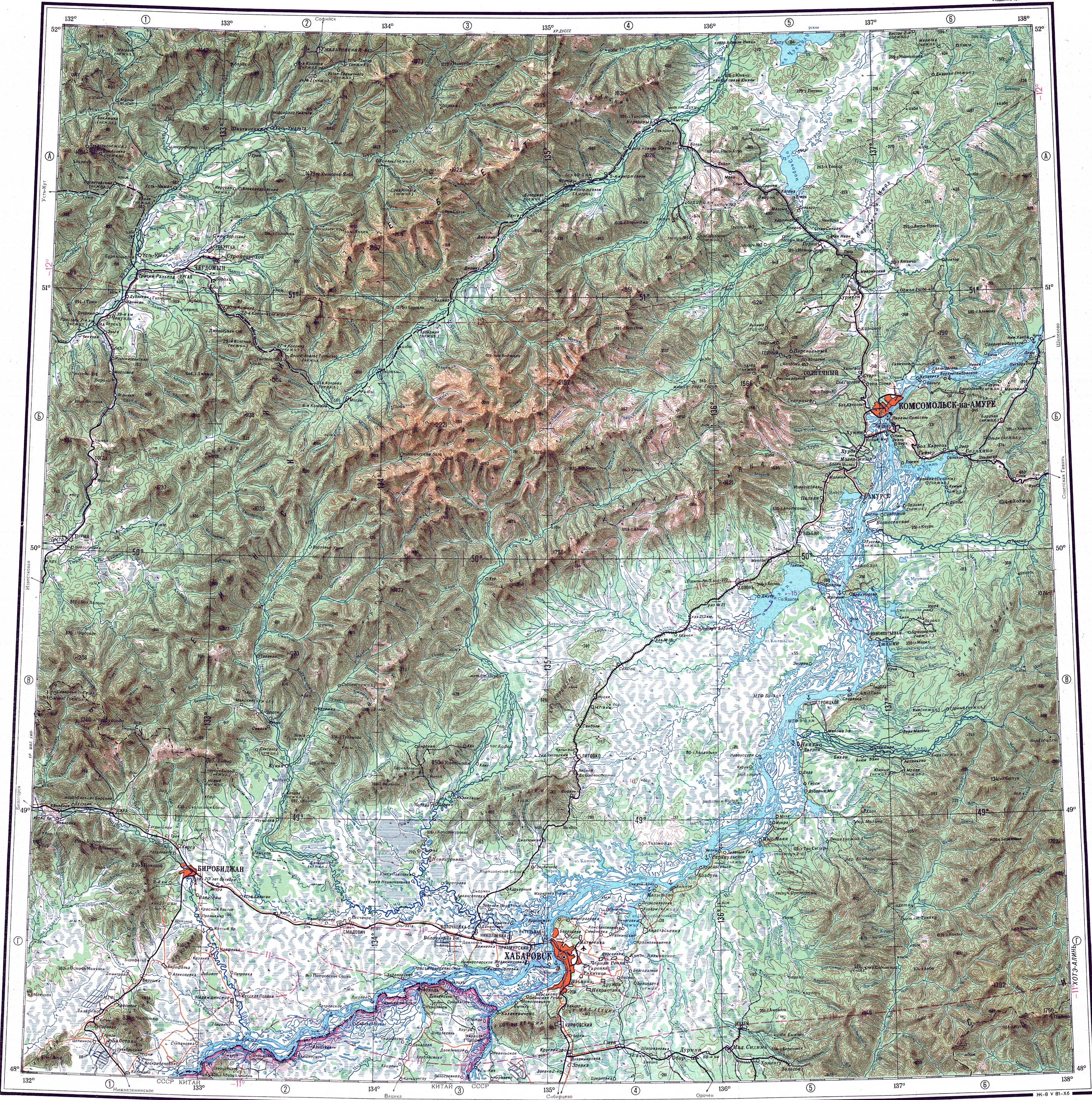
Mount Studencheskaya (Russian: Гора Студенческая) is a peak in the Jewish Autonomous Oblast, Russia. It is the highest point of the oblast.[2][3]
Description[edit]
Mount Studencheskaya is a 1,421 metres (4,662 ft) high mountain located near the southern end of the Bureya Range, close to the Khabarovsk Krai border.[1] It rises in the Obluchensky District, on the northern part of the Jewish Autonomous Oblast, north of the valley of the Sutara, one of the rivers forming the Bira, a tributary of the Amur.[1][4]
See also[edit]
References[edit]
External links[edit]
This Jewish Autonomous Oblast location article is a stub. You can help Wikipedia by expanding it. |