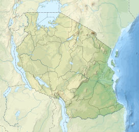
Itaga (Tanzania)
This article needs additional citations for verification. (January 2018) |
| Itaga | |
|---|---|
| Highest point | |
| Coordinates | 4°55′S 32°44′E / 4.917°S 32.733°E |
| Geography | |
| Location | Tabora Region |
| OS grid | TQ 179 511 |
| Topo map | OS Landranger 187 |
Itaga is a hill in Tanzania's Tabora Region, located north of the city of Tabora. [1] The Igombe dam is located near Itaga.

