
File:Context view, southwest side - New Josiah Haigler Plantation House, County Highway 37 North of U.S. Highway 80, Burkville, Lowndes County, AL HABS ALA,43-BURK.V,3B-4.tif

Size of this JPG preview of this TIF file: 751 × 599 pixels. Other resolutions: 301 × 240 pixels | 602 × 480 pixels | 963 × 768 pixels | 1,280 × 1,021 pixels | 2,560 × 2,043 pixels | 4,688 × 3,741 pixels.
Original file (4,688 × 3,741 pixels, file size: 16.73 MB, MIME type: image/tiff)
| This is a file from the Wikimedia Commons. Information from its description page there is shown below. Commons is a freely licensed media file repository. You can help. |
Summary
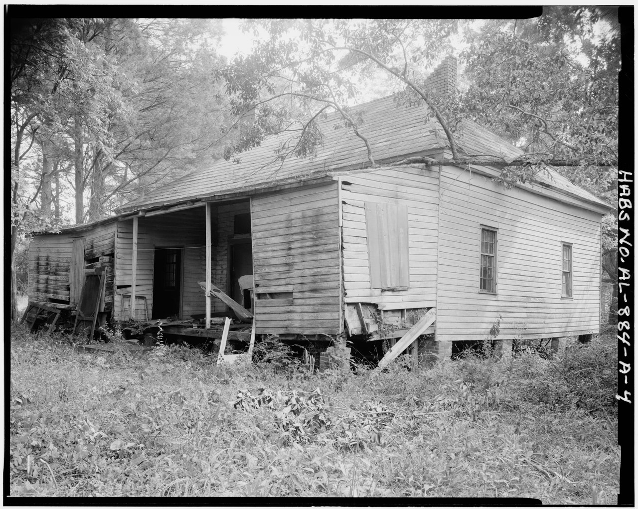
| Context view, southwest side - New Josiah Haigler Plantation House, County Highway 37 North of U.S. Highway 80, Burkville, Lowndes County, AL | ||||
|---|---|---|---|---|
| Photographer |
Sterkey, B. M. |
|||
| Title |
Context view, southwest side - New Josiah Haigler Plantation House, County Highway 37 North of U.S. Highway 80, Burkville, Lowndes County, AL |
|||
| Depicted place | Alabama; Lowndes County; Burkville | |||
| Date | 1983 | |||
| Dimensions | 4 x 5 in. | |||
| Current location |
Library of Congress Prints and Photographs Division Washington, D.C. 20540 USA http://hdl.loc.gov/loc.pnp/pp.print |
|||
| Accession number |
HABS ALA,43-BURK.V,3B-4 |
|||
| Credit line |
|
|||
| Notes |
|
|||
| Source | https://www.loc.gov/pictures/item/al0891.photos.003511p | |||
| Permission (Reusing this file) |
|
|||

| Object location | | View this and other nearby images on: OpenStreetMap |
|---|
File history
Click on a date/time to view the file as it appeared at that time.
| Date/Time | Thumbnail | Dimensions | User | Comment | |
|---|---|---|---|---|---|
| current | 13:14, 30 June 2014 |  | 4,688 × 3,741 (16.73 MB) | Fæ | GWToolset: Creating mediafile for Fæ. HABS batch upload 29 June 2014 (101:150) |
File usage
The following pages on the English Wikipedia use this file (pages on other projects are not listed):