
Customs Street
.jpg) Customs Street in 2023 | |
 | |
| Length | 0.61 km (0.38 mi) |
|---|---|
| Location | Auckland City Centre, New Zealand |
| Postal code | 1010 |
| Coordinates | 36°50′41″S 174°46′00″E / 36.84470°S 174.76660°E |
| West end | Hobson Street |
| Major junctions | Queen Street |
| East end | Beach Road |
Customs Street is a street in the Auckland City Centre, New Zealand, located between Hobson Street and Beach Road. The street is split into two sections at the junction of Queen Street, Customs Street West and Customs Street East.
History[edit]
.jpg)

Customs Street was built on reclaimed land.[4] Customs Street East began as a seawall between Point Stanley and Point Britomart across Commercial Bay, a former bay that used to exist on the Auckland waterfront. By 1859, reclamation work on Commercial Bay had begun, and Customs Street was created.[5] Much of the fill used to create the land along Customs Street was taken from Point Britomart, a former peninsula to the east of the street.[4]
The street was an important centre for trade in Auckland in the early 20th century due to its proximity to the Auckland waterfront and the railway station. Customs Street had a mix of warehouses, commercial offices of shipping companies found on the north, with shops and businesses found to the south.[4]
Demographics[edit]
The Quay Street-Customs Street statistical area covers 1.22 km2 (0.47 sq mi)[6] and had an estimated population of 2,300 as of June 2023,[7] with a population density of 1,885 people per km2.
| Year | Pop. | ±% p.a. |
|---|---|---|
| 2006 | 1,104 | — |
| 2013 | 2,256 | +10.75% |
| 2018 | 2,274 | +0.16% |
| Source: [8] | ||
Quay Street-Customs Street had a population of 2,274 at the 2018 New Zealand census, an increase of 18 people (0.8%) since the 2013 census, and an increase of 1,170 people (106.0%) since the 2006 census. There were 1,107 households, comprising 1,206 males and 1,065 females, giving a sex ratio of 1.13 males per female. The median age was 31.9 years (compared with 37.4 years nationally), with 180 people (7.9%) aged under 15 years, 795 (35.0%) aged 15 to 29, 1,152 (50.7%) aged 30 to 64, and 141 (6.2%) aged 65 or older.
Ethnicities were 39.2% European/Pākehā, 4.4% Māori, 3.4% Pacific peoples, 50.0% Asian, and 7.5% other ethnicities. People may identify with more than one ethnicity.
The percentage of people born overseas was 69.1, compared with 27.1% nationally.
Although some people chose not to answer the census's question about religious affiliation, 46.2% had no religion, 26.1% were Christian, 0.1% had Māori religious beliefs, 9.2% were Hindu, 6.5% were Muslim, 4.0% were Buddhist and 3.4% had other religions.
Of those at least 15 years old, 924 (44.1%) people had a bachelor's or higher degree, and 93 (4.4%) people had no formal qualifications. The median income was $37,500, compared with $31,800 nationally. 510 people (24.4%) earned over $70,000 compared to 17.2% nationally. The employment status of those at least 15 was that 1,185 (56.6%) people were employed full-time, 288 (13.8%) were part-time, and 87 (4.2%) were unemployed.[8]
Notable locations[edit]
- The Aon Centre, also known as the AMP Tower
- Australis House
- Commercial Bay, a mixed-use office tower and retail development
- The former Customhouse, now the location of duty-free shopping centre T Galleria
- The Dilworth Building, a historic mixed-use building constructed in the 1920s.[9]
- Seascape, a residential skyscraper currently under construction
- Queens Arcade, a historic shopping arcade
- The United States Consulate General[4]
Gallery[edit]
-

-
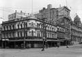 the Waitemata Hotel on the corner of Queen Street and Customs Street in 1927
 -

-
 Heritage buildings on Customs Street East
 -
 Excelsior Building, Stanbeth House and Masonic Club
 -
![Australis House and Arthur H. Nathan Warehouse (architect Arthur Pollard Wilson, who also designed Strand Arcade, Naval and Family Hotel,Northern Steam Ship Company Building and Isaacs’ Bonded Stores)[10]](//upload.wikimedia.org/wikipedia/commons/thumb/3/31/Australis_House_-_38297532852.jpg/120px-Australis_House_-_38297532852.jpg) Australis House and Arthur H. Nathan Warehouse (architect Arthur Pollard Wilson, who also designed Strand Arcade, Naval and Family Hotel,Northern Steam Ship Company Building and Isaacs’ Bonded Stores)[10]
Australis House and Arthur H. Nathan Warehouse (architect Arthur Pollard Wilson, who also designed Strand Arcade, Naval and Family Hotel,Northern Steam Ship Company Building and Isaacs’ Bonded Stores)[10] -
 The former Customhouse
 -
 Tepid Baths on Customs Street West
.jpg)


![Australis House and Arthur H. Nathan Warehouse (architect Arthur Pollard Wilson, who also designed Strand Arcade, Naval and Family Hotel,Northern Steam Ship Company Building and Isaacs’ Bonded Stores)[10]](/wiki/File:Australis_House_-_38297532852.jpg)

.jpg)
References[edit]
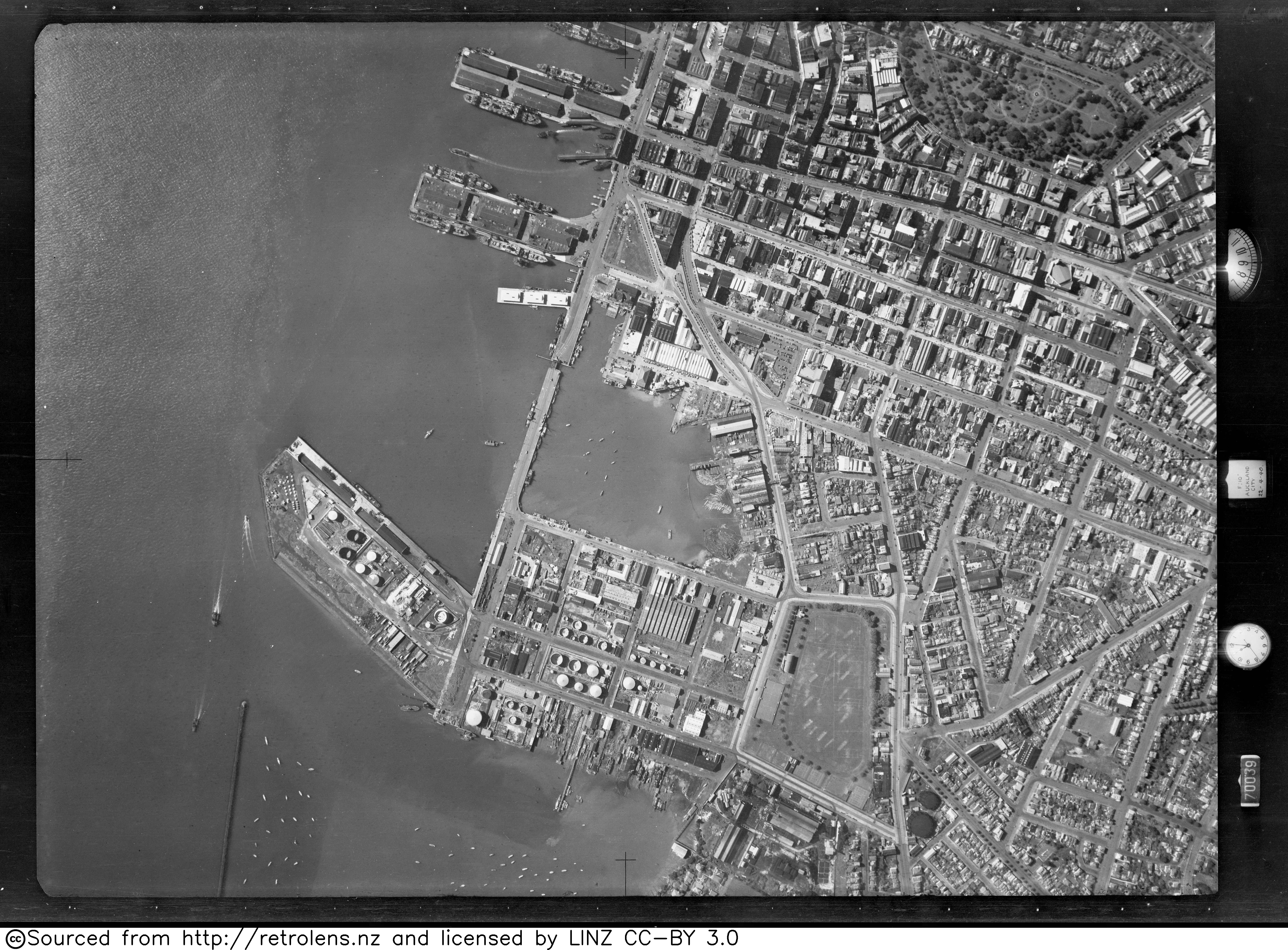
- ^ "Survey: SN146 Run: 63 Photo: 7". Retrolens. 22 April 1940.
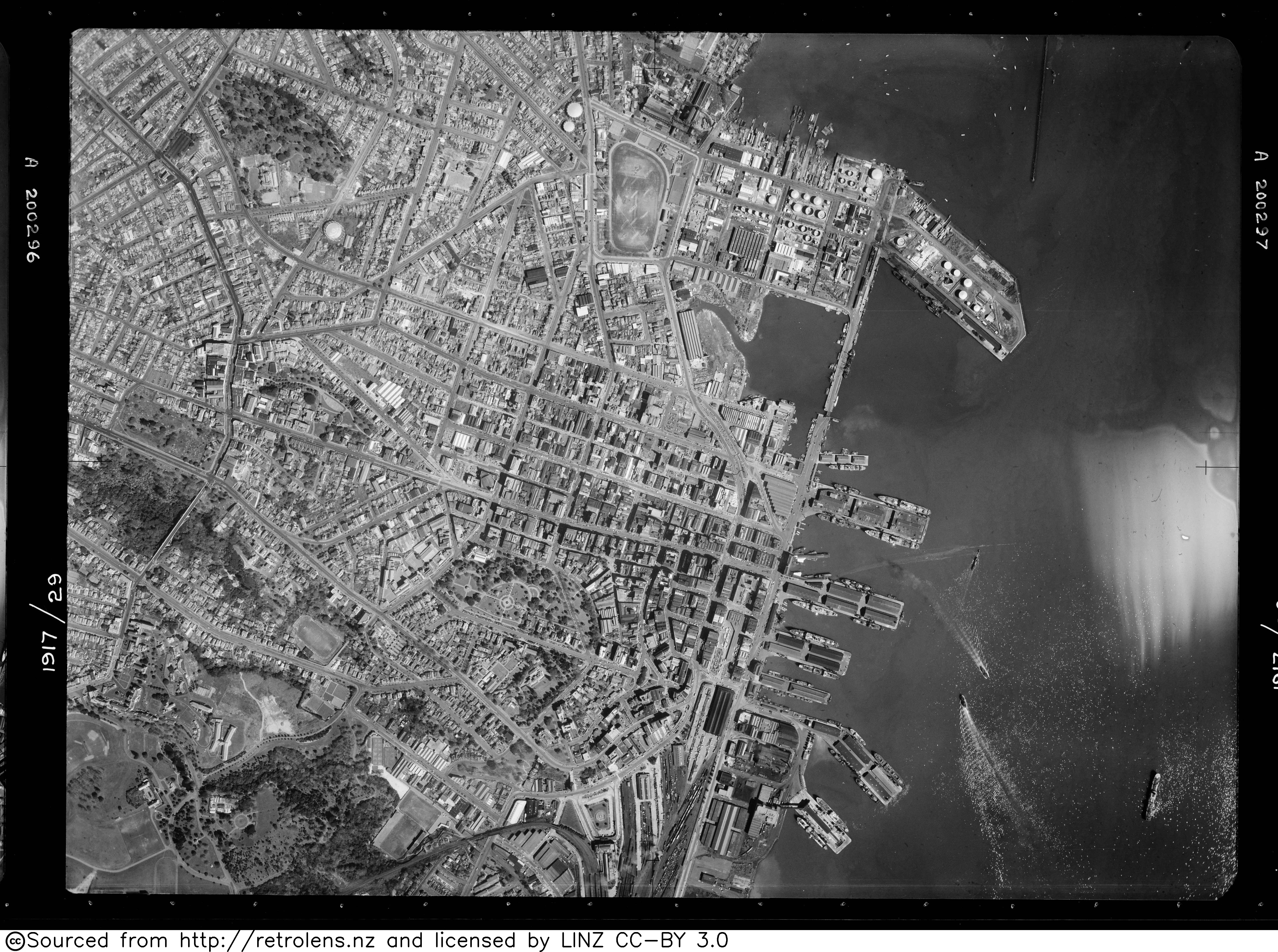
- ^ "Survey: SN583 Run: 1917 Photo: 29". Retrolens. 19 September 1950.
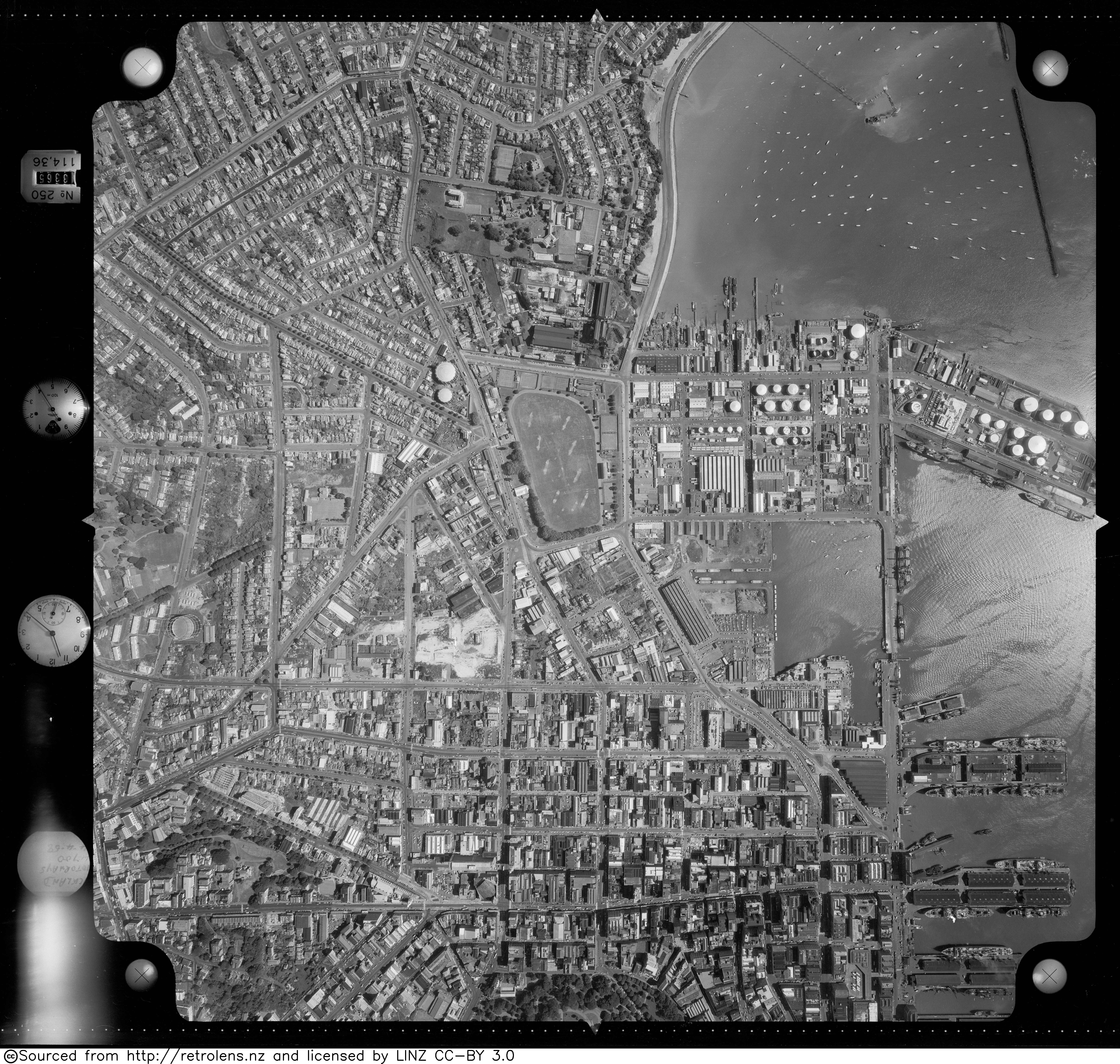
- ^ "Survey: SN1052 Run: J Photo: 1". Retrolens. 14 April 1958.
- ^ a b c d Haworth, Jenny (2016). Auckland Then and Now. United Kingdom: Pavilion Books. p. 14-15. ISBN 978-1-910904-79-4. Wikidata Q116870435.
- ^ "Auckland's waterfront and its changing face". Auckland City Libraries. Archived from the original on 18 October 2006.
- ^ "ArcGIS Web Application". statsnz.maps.arcgis.com. Retrieved 11 July 2022.
- ^ "Population estimate tables - NZ.Stat". Statistics New Zealand. Retrieved 25 October 2023.
- ^ a b "Statistical area 1 dataset for 2018 Census". Statistics New Zealand. March 2020. Quay Street-Customs Street (133300). 2018 Census place summary: Quay Street-Customs Street
- ^ "Dilworth Building". New Zealand Heritage List/Rārangi Kōrero. Heritage New Zealand. Retrieved 23 July 2013.
- ^ "Heritage Evaluation - Darby Building, 8-18 Darby Street, Auckland Central" (PDF). Auckland Council. May 2017.
External links[edit]
![]() Media related to Customs Street, Auckland at Wikimedia Commons
Media related to Customs Street, Auckland at Wikimedia Commons