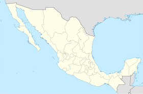
Punta Prieta, Baja California
Punta Prieta | |
|---|---|
| Coordinates: 28°55′44″N 114°09′20″W / 28.92889°N 114.15556°W | |
| Country | |
| State | Baja California |
| Municipality | San Quintín |
| Elevation | 690 ft (210 m) |
| Population (2010) | |
| • City | 112 |
| • Urban | 0 |
| Time zone | UTC-8 (Northwest US Pacific) |
| • Summer (DST) | UTC-7 (Northwest) |
Punta Prieta is a desert town in the Mexican state of Baja California, on Federal Highway 1.
Parador Punta Prieta[edit]
A few kilometers north along Highway 1 is Parador Punta Prieta, where Highway 12 takes off to the east towards Bahía de los Ángeles and Punta La Gringa.
See also[edit]
Notes[edit]
There are at least two places named Punta Prieta in Mexico. Punta Prieta, Baja California Sur, is a small town on the west coast of Baja California Sur.
References[edit]
28°55′44″N 114°09′20″W / 28.92889°N 114.15556°W

