
Manchester, Houston
Manchester is a community in southeastern Houston, Texas, United States.
Manchester has 6 square miles (16 km2) of area.[1] It is located in close proximity to the Houston Ship Channel,[2] and many chemical plants, refineries, and sewage facilities.
History[edit]
Manchester began in the 1860s as a railroad switch. By the 1970s the area became predominantly industrial and by the 1980s the area became predominantly Hispanic.[3]
The State of Texas concluded that, since 2000, the area had the highest annual averages of 1,3-Butadiene of any area in Texas.[4] On May 27, 2005, the State opened a pollution monitor in Manchester.[5]
In 2019 Mayor of Houston Sylvester Turner added Manchester to the Complete Communities program.[6]
Cityscape[edit]
About 455 houses combined are in Harrisburg and Manchester. Area features include chemical plants, refineries, sewage facilities,[7] car crushing facilities, and hazardous cargo areas. Nearby plants are owned by Goodyear, LyondellBasell, Texas Petro-Chemicals, and Valero.[8]
It is near Magnolia Park.[2]
Government and infrastructure[edit]
Manchester is in Houston City Council District I.[9]
The Harris Health System (formerly Harris County Hospital District) designated the Ripley Health Center for the ZIP code 77012.[10] In 2000 Ripley was replaced by the Gulfgate Health Center.[11] The designated public hospital is Ben Taub General Hospital in the Texas Medical Center.[10]
Demographics[edit]
As of 2017[update] about 4,000 people lived around Manchester.[1] As of 2018[update] almost 2,000 people live in the Harrisburg/Manchester area, with 98% being Hispanic or Latino.[7]
In the city of Houston-defined Harrisburg/Manchester Super Neighborhood, which also includes Harrisburg, there were 2,926 residents in 2015. 82% were Hispanics, 14% were non-Hispanic blacks, and 3% were non-Hispanic whites. The percentages of non-Hispanic Asians and others were both zero. In 2000 the super neighborhood had 3,768 residents. 88% were Hispanics, 6% were non-Hispanic blacks, and 5% were non-Hispanic whites. The percentages of non-Hispanic Asians and others were both zero.[12]
Crime, poverty, and illness[edit]
Kristin Moe of Yes! stated that occasional bouts of illness occur due to the chemical plants, and that "Drugs, unemployment, and gangs are a problem."[8] Dina Capello of the Houston Chronicle stated in 2005 that drug dealers and prostitutes reside in the area.[13]
Education[edit]
Manchester is within the Houston Independent School District.[14] Zoned schools include:
- J. R. Harris Elementary School[15]
- Deady Middle School[16]
- Milby High School[17]
Parks and recreation[edit]
Hartman Park is located in Manchester.[18]
References[edit]
- ^ a b Manjad, Raj (2017-08-15). "As Houston plots a sustainable path forward, it's leaving this neighborhood behind". Grist. Retrieved 2019-04-02.
- ^ a b "TEJAS: Environmental Justice Texas Style" (PDF). Houston History Magazine. p. 22 (PDF p. 4/5). Retrieved 2019-04-02. - From "Where is Manchester?"
- ^ Manchester, Texas (Harris County) from the Handbook of Texas Online
- ^ "State Results: Pollution Glance." Houston Chronicle.
- ^ "Area residents welcome state pollution monitor / Manchester's air will be tested round-the-clock." Houston Chronicle. (Alternate version [1][permanent dead link]).
- ^ Scherer, Jasper (20 June 2019). "Turner adds five neighborhoods to Complete Communities program".
- ^ a b "Environmental Racism in Houston's Harrisburg/Manchester Neighborhood". Stanford University. Retrieved 2019-04-02.
- ^ a b Moe, Kristin (2013-04-22). "Houston's Most Polluted Neighborhood Draws the Line at Alberta Tar Sands". Yes! Magazine. Yes. Retrieved 2019-04-02.
- ^ City of Houston, Council District Maps, District I Archived 2013-09-18 at the Wayback Machine." City of Houston. Retrieved on November 5, 2011.
- ^ a b "Clinic/Emergency/Registration Center Directory By ZIP Code". Harris County Hospital District. 2001-11-19. Archived from the original on 2001-11-19. Retrieved 2021-04-08. - See ZIP code 77012. See this map for relevant ZIP code.
- ^ "Gulfgate Health Center" (Archive). Harris County Hospital District. Accessed October 17, 2008.
- ^ "Super Neighborhood Resource Assessment No. 65 Harrisburg/Manchester" (PDF). City of Houston. Retrieved 2019-08-15.
- ^ Capello, Dina (2005-01-16). "Chronicle cross-county study reveals risky load of 'air toxics'". Houston Chronicle. Retrieved 2019-04-02.
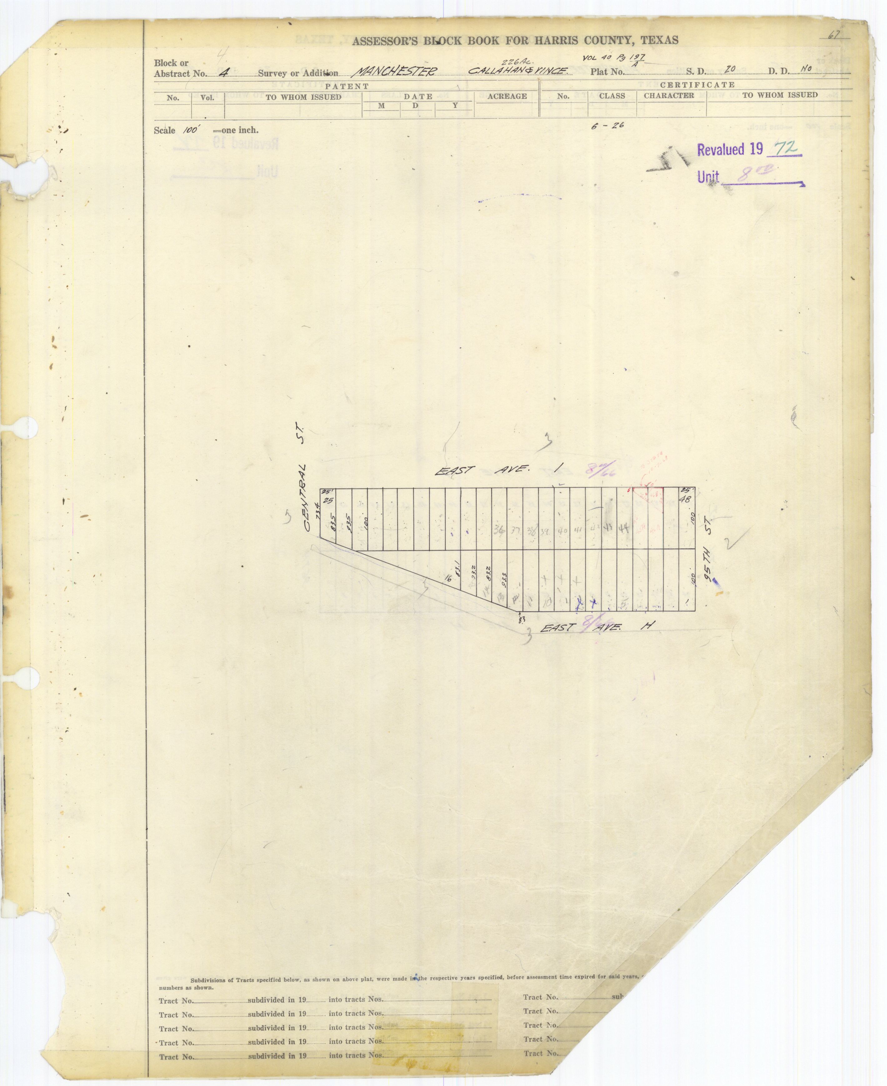
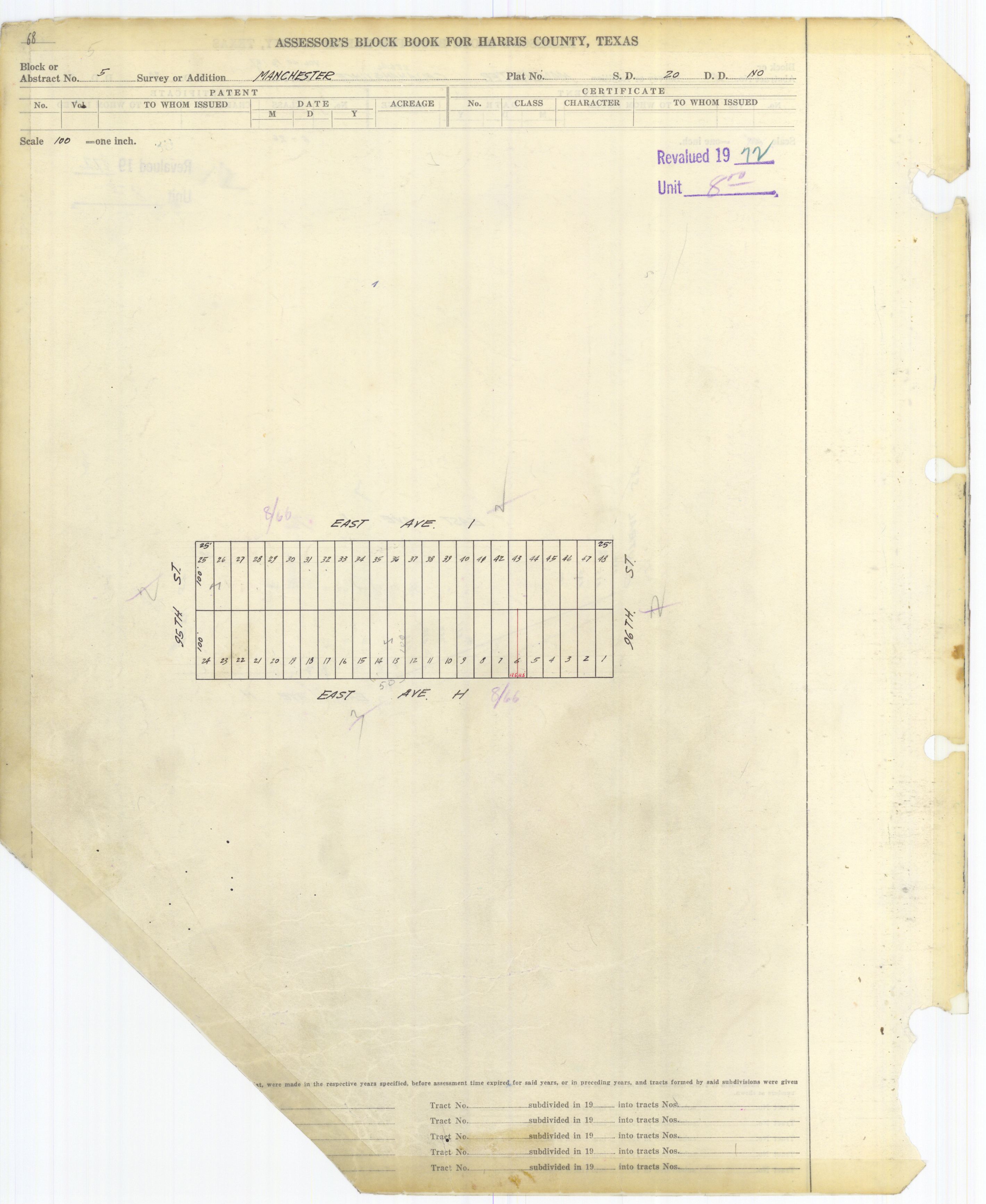
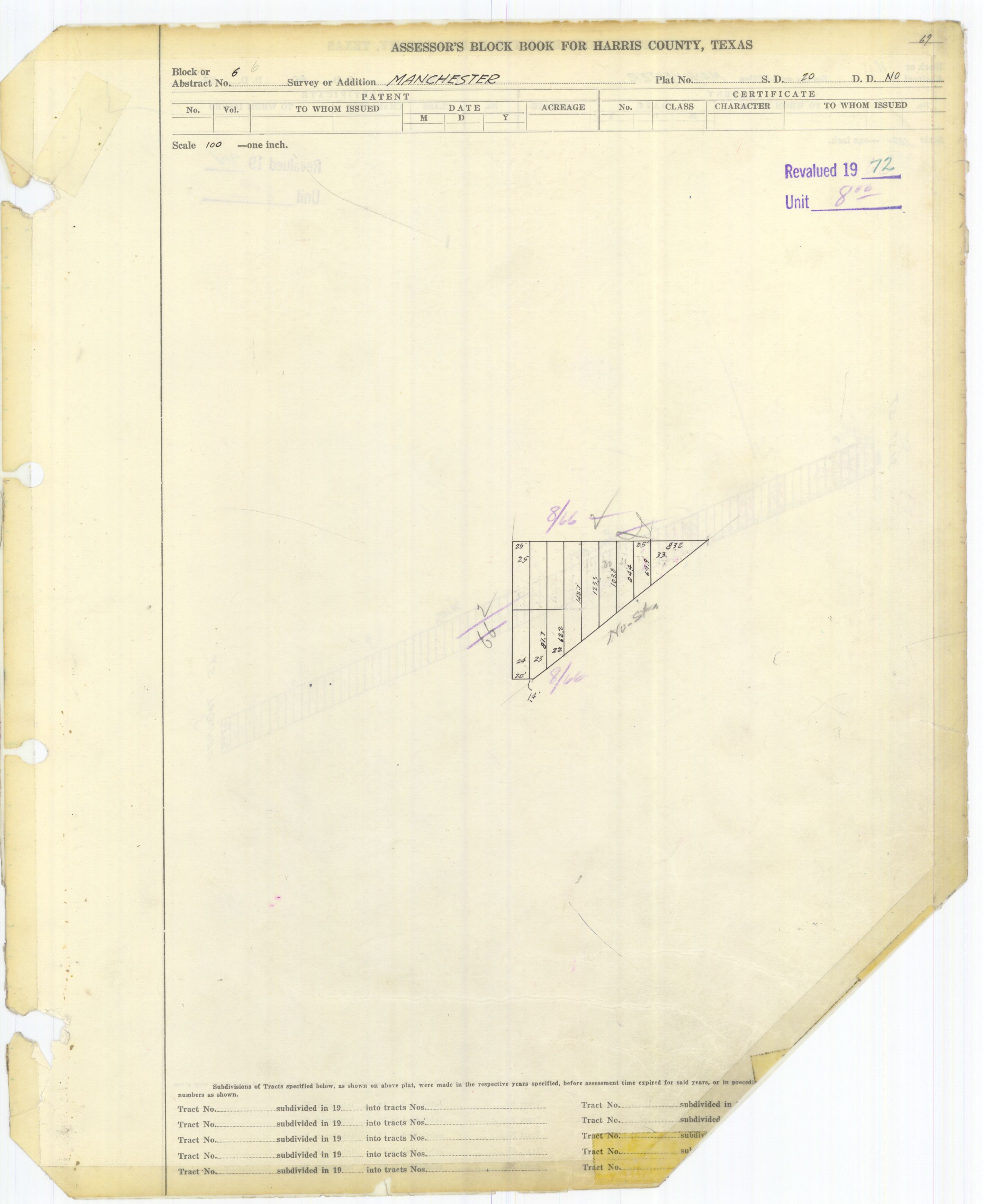
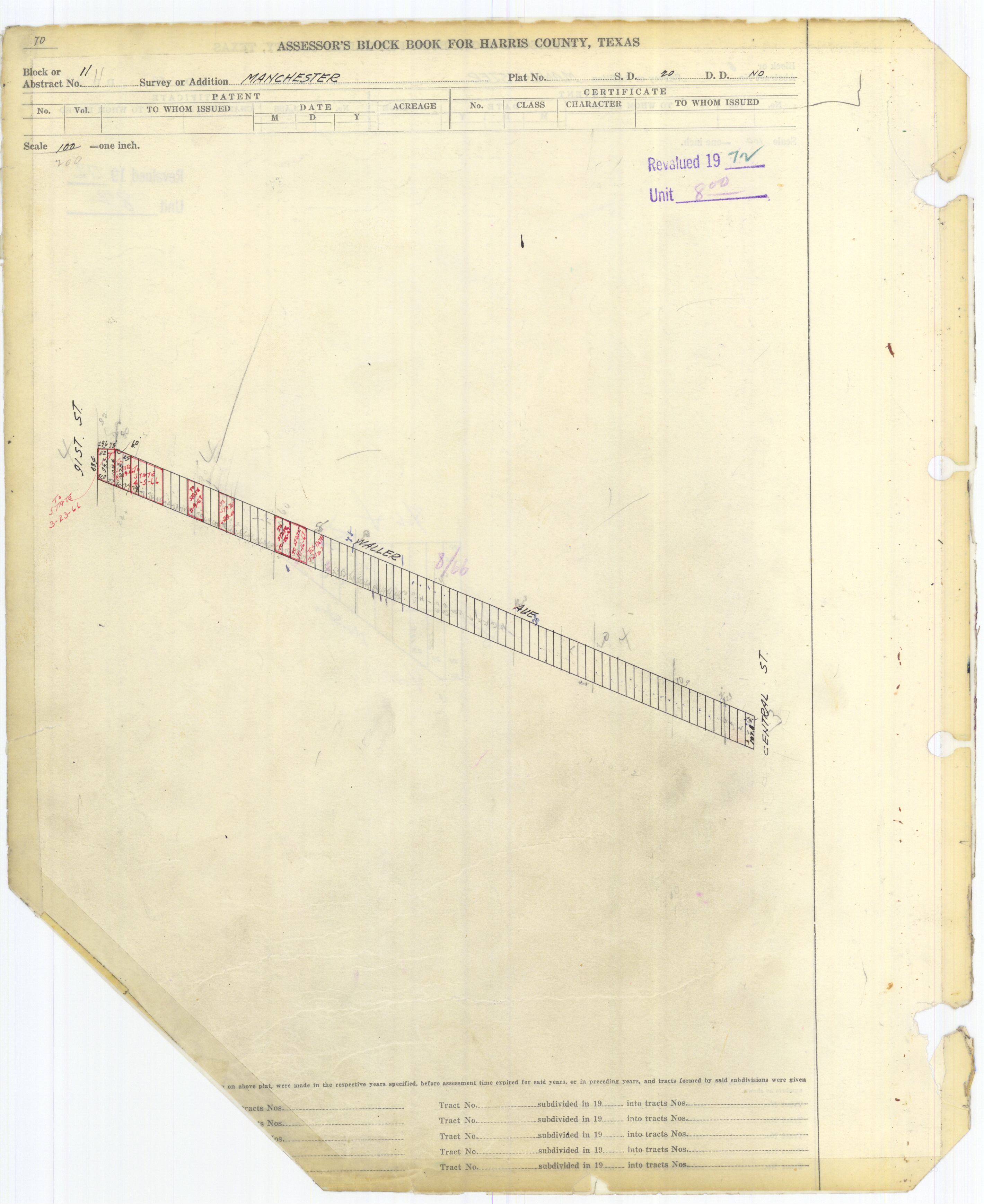
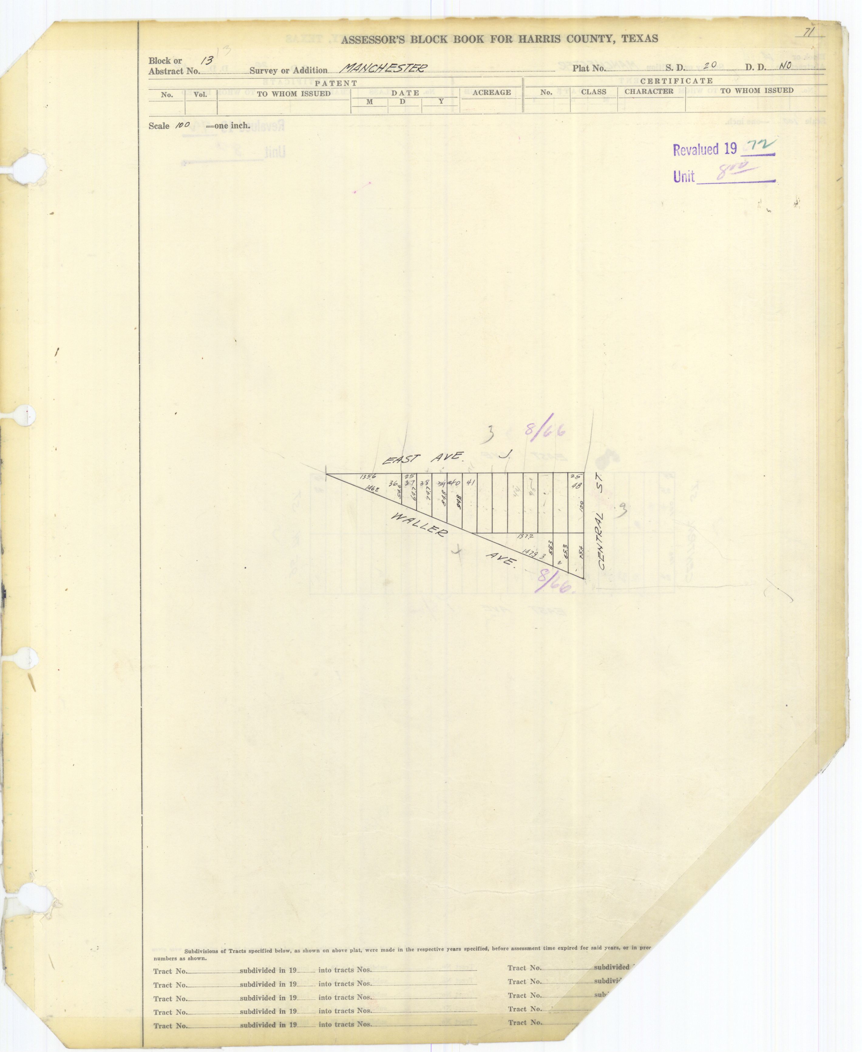
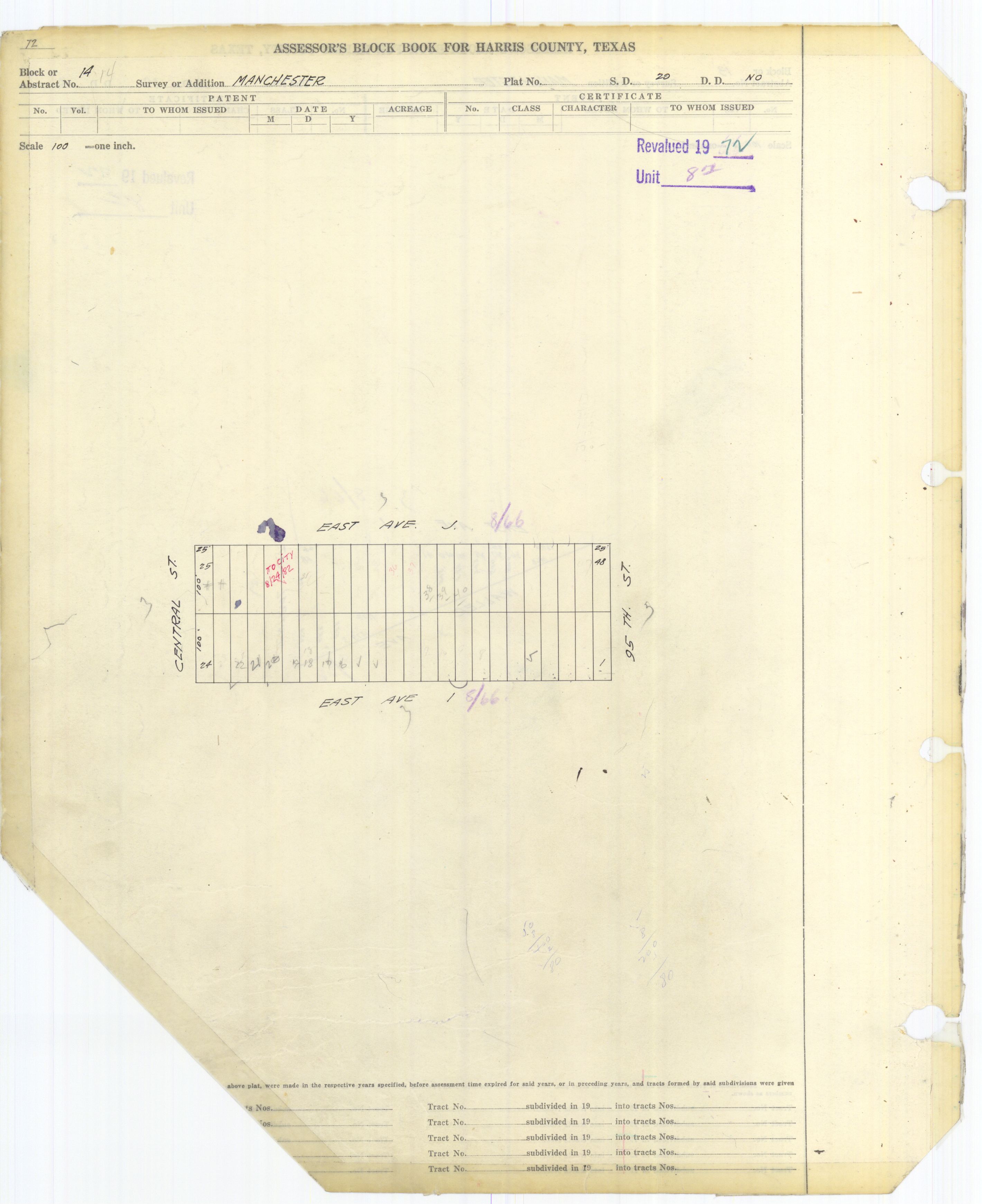
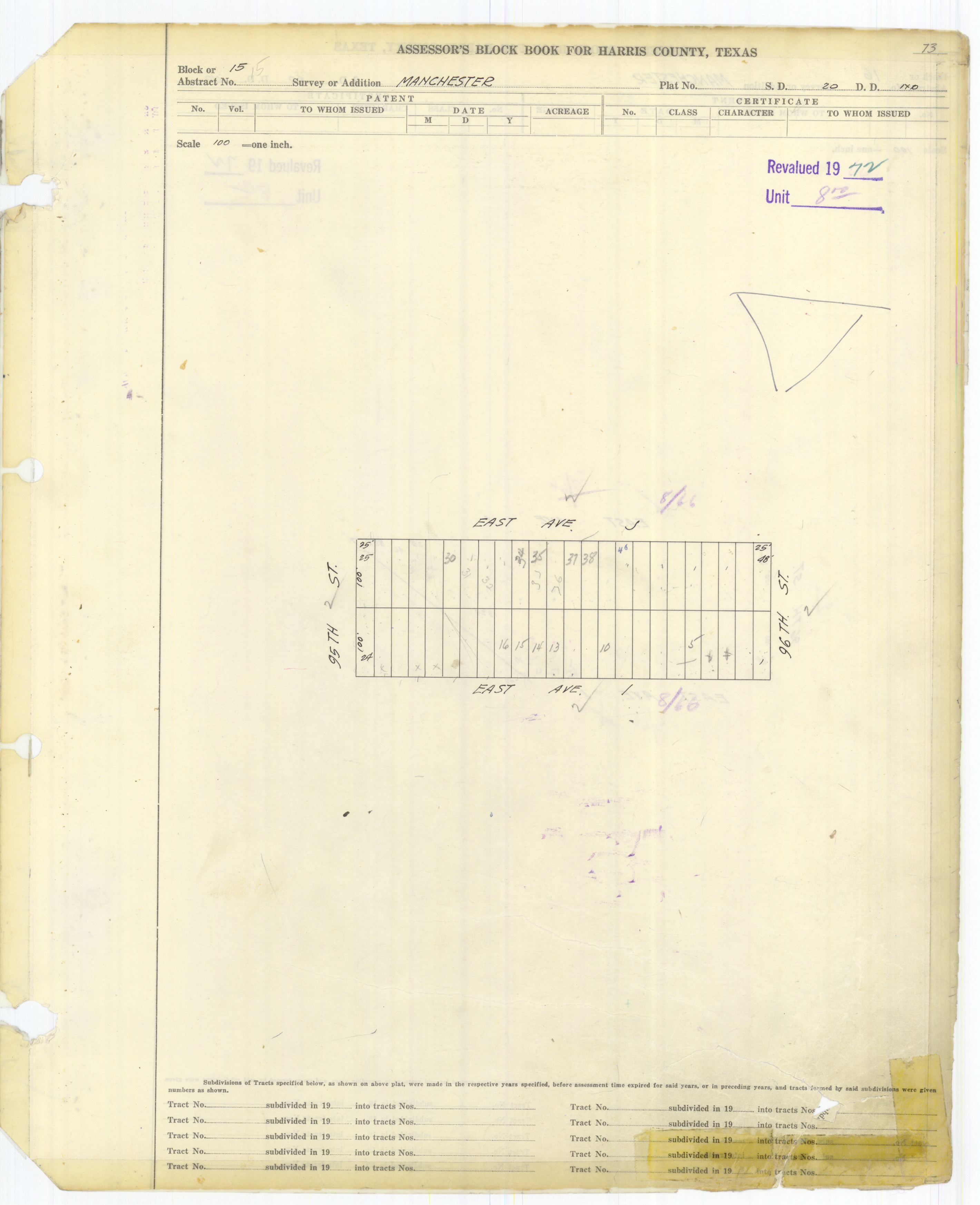
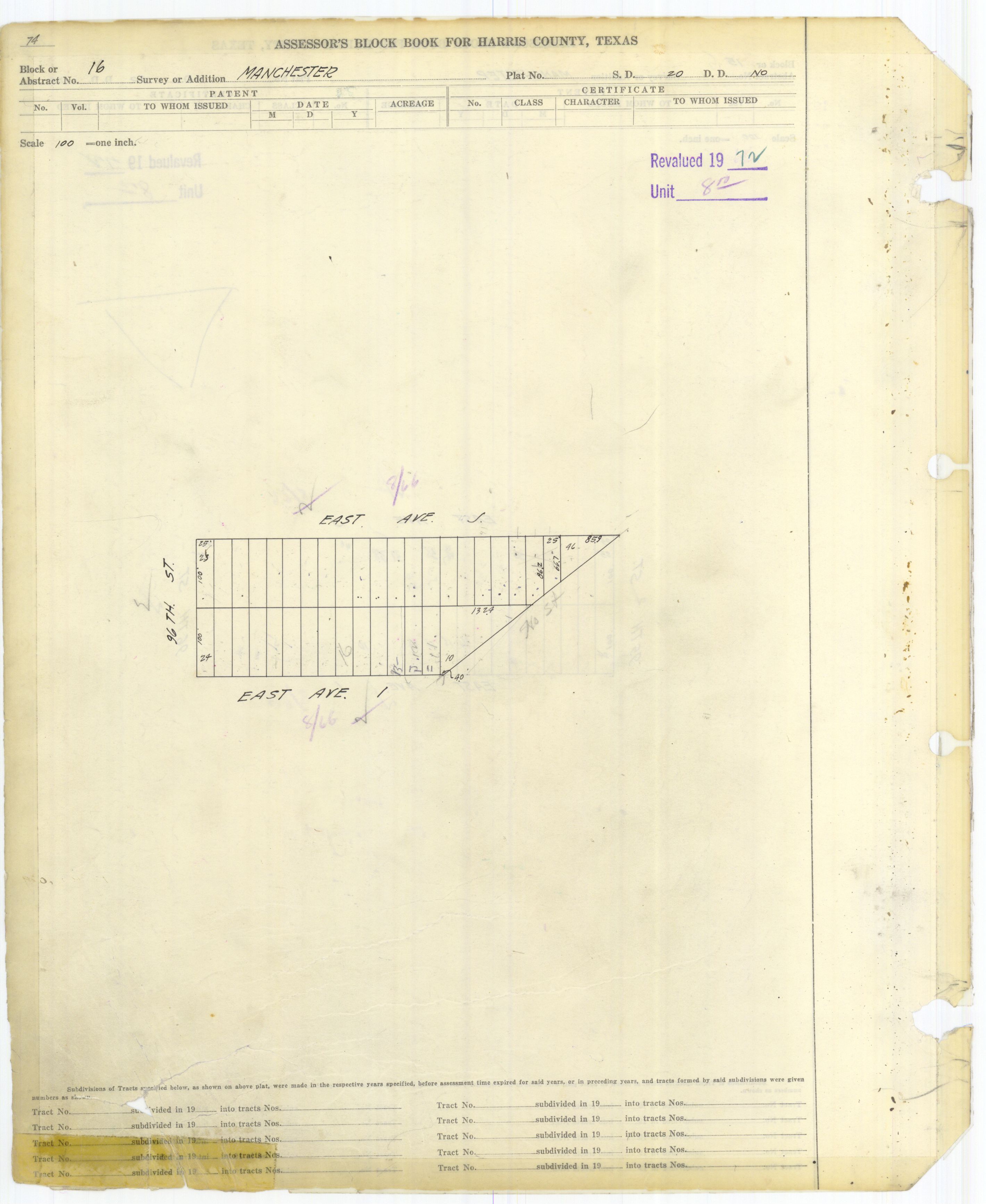
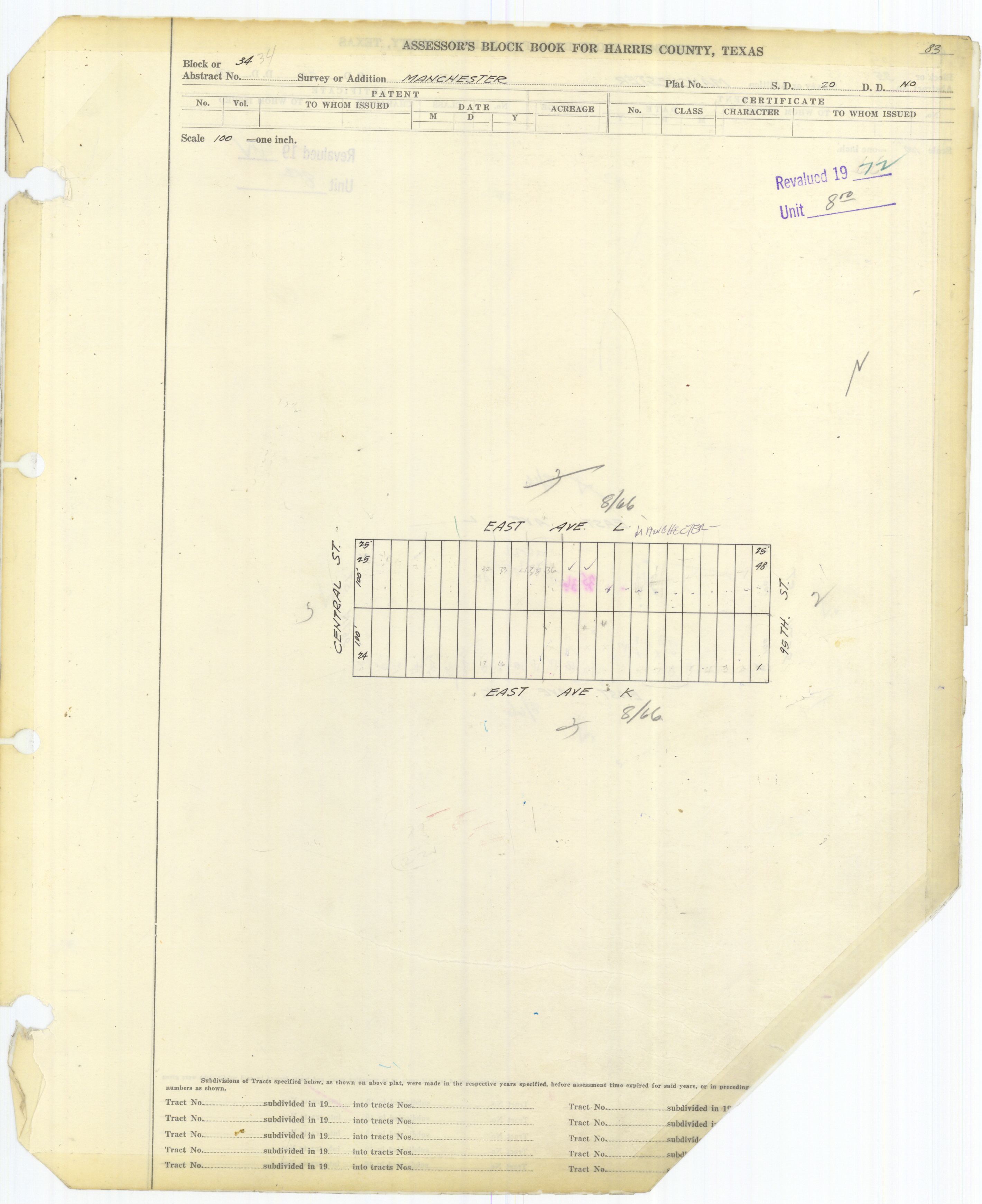
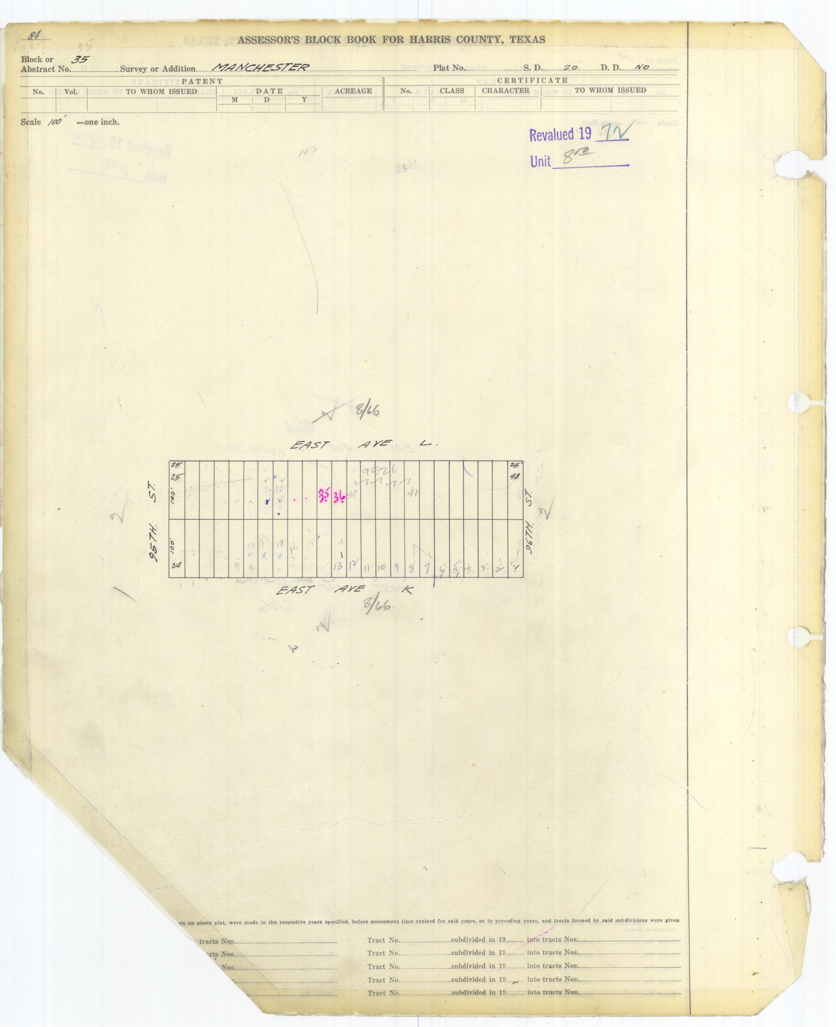
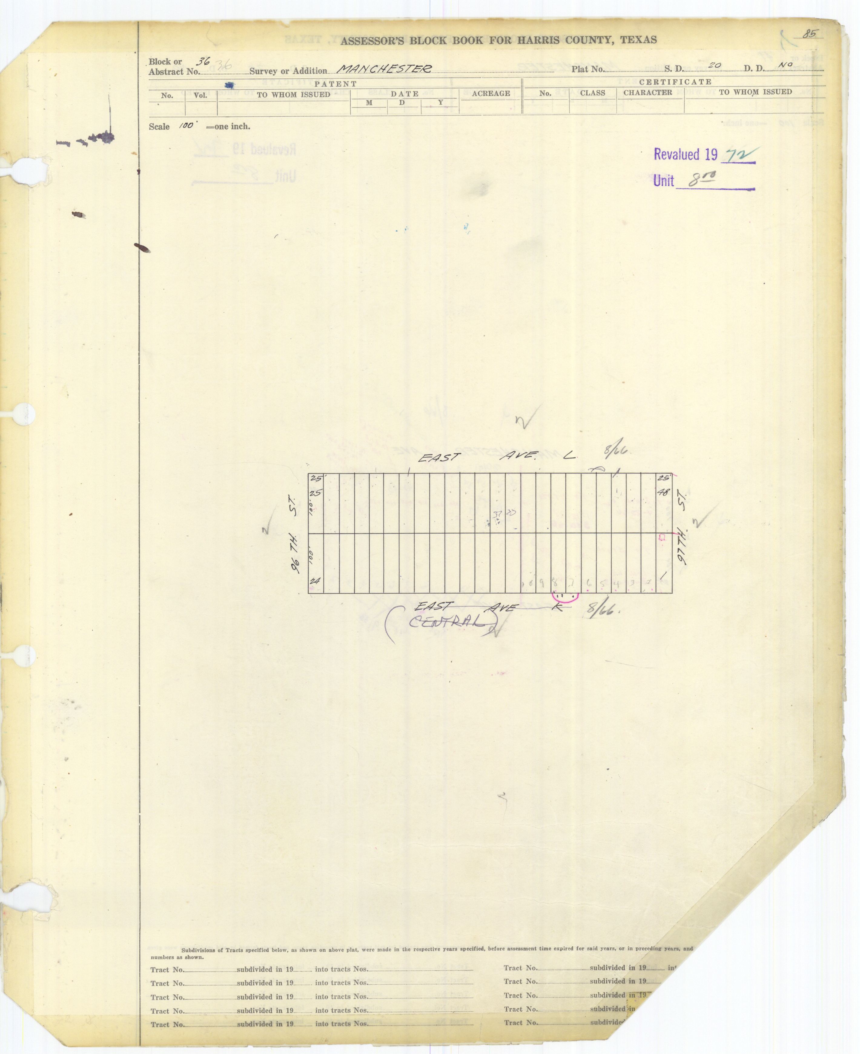
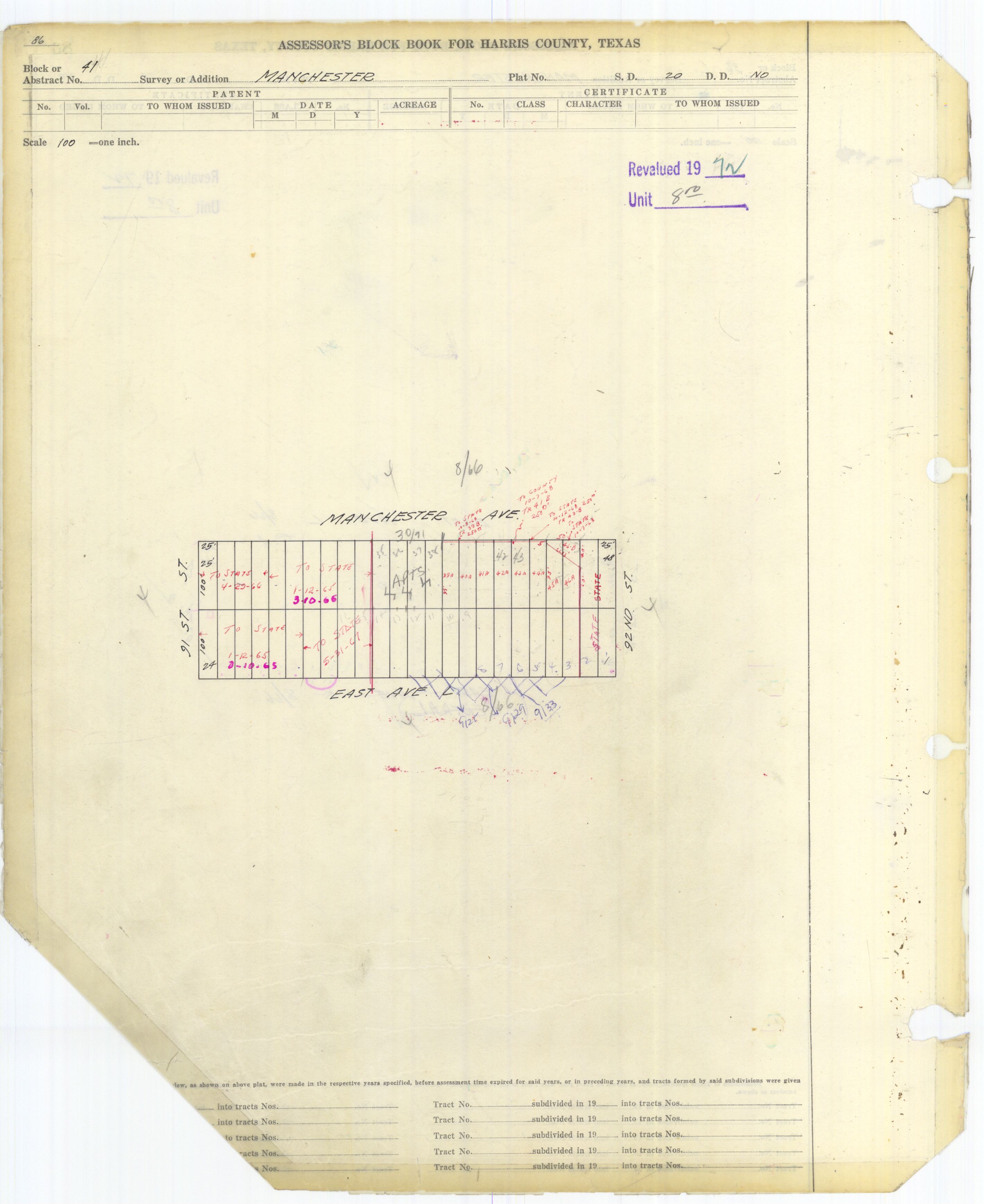
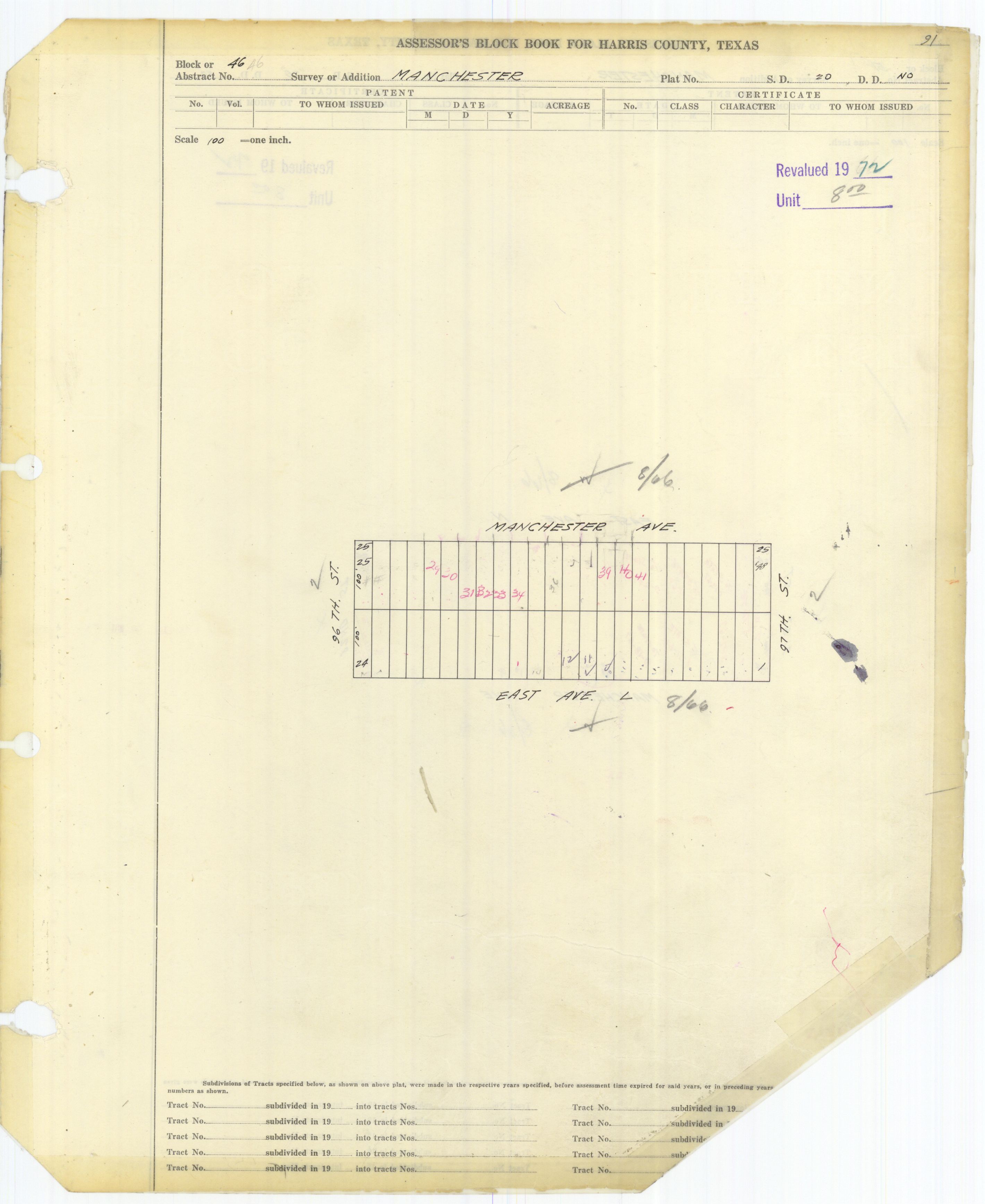
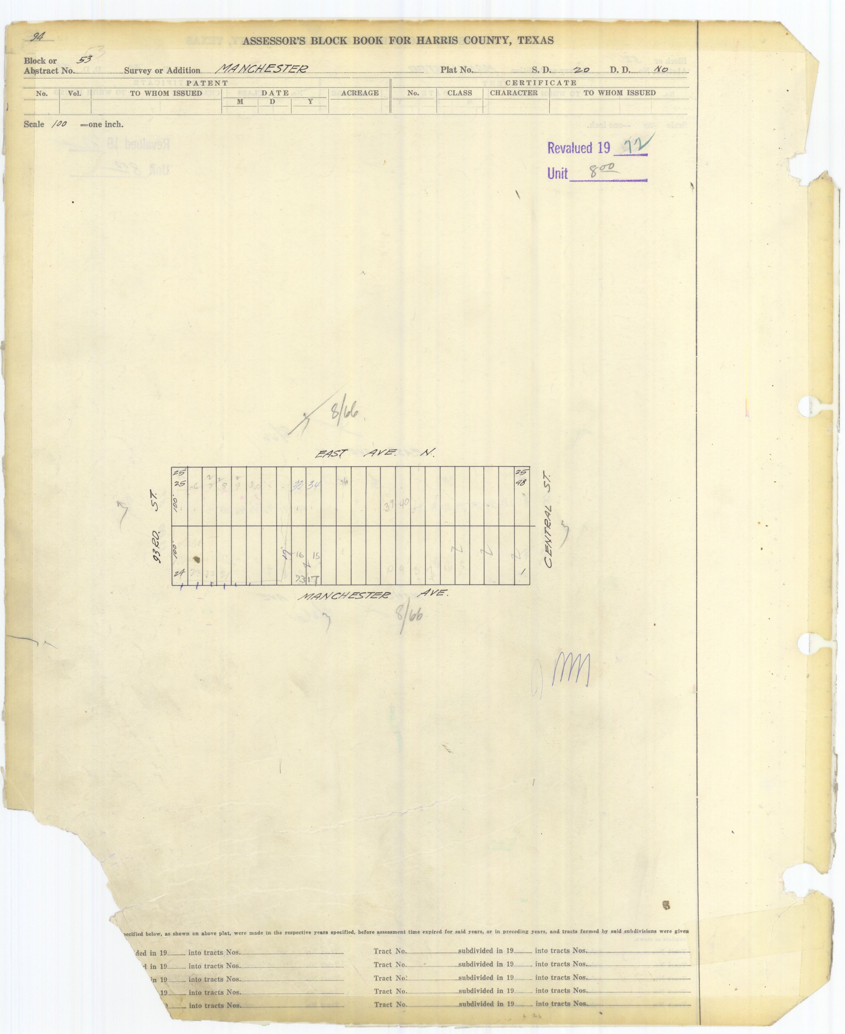
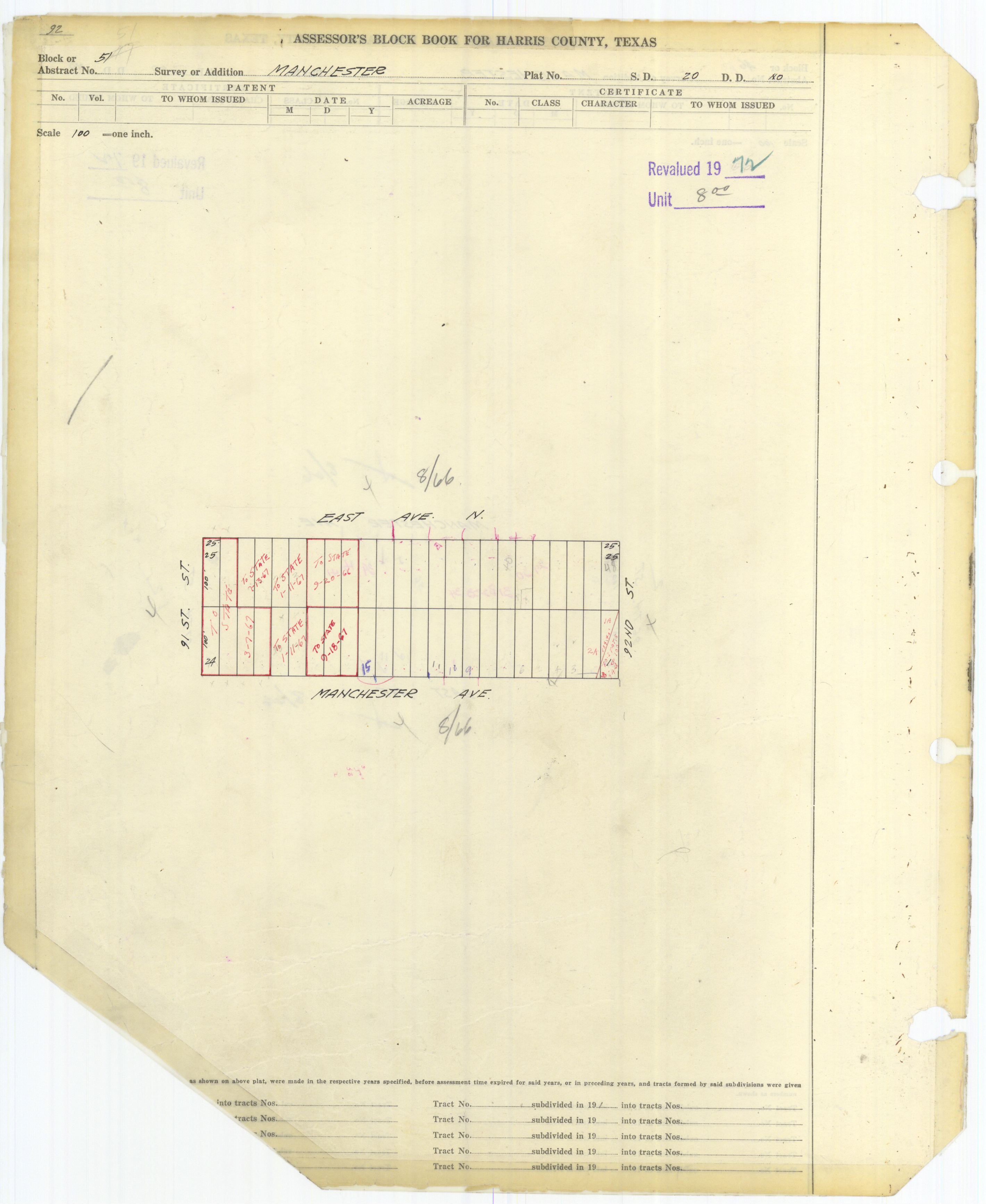
- ^ Harris County block book maps:
- 4: http://books.tax.hctx.net/BlockBooksPDF/v053/AE1997_Vol_52-53_0301.pdf and http://books.tax.hctx.net/v053/AE1997_Vol_52-53_0301.jpg
- 5: http://books.tax.hctx.net/BlockBooksPDF/v053/AE1997_Vol_52-53_0302.pdf and http://books.tax.hctx.net/v053/AE1997_Vol_52-53_0302.jpg
- 6: http://books.tax.hctx.net/BlockBooksPDF/v053/AE1997_Vol_52-53_0303.pdf and http://books.tax.hctx.net/v053/AE1997_Vol_52-53_0303.jpg
- 11: http://books.tax.hctx.net/BlockBooksPDF/v053/AE1997_Vol_52-53_0304.pdf and http://books.tax.hctx.net/v053/AE1997_Vol_52-53_0304.jpg
- 13: http://books.tax.hctx.net/BlockBooksPDF/v053/AE1997_Vol_52-53_0305.pdf and http://books.tax.hctx.net/v053/AE1997_Vol_52-53_0305.jpg
- 14: http://books.tax.hctx.net/BlockBooksPDF/v053/AE1997_Vol_52-53_0306.pdf and http://books.tax.hctx.net/v053/AE1997_Vol_52-53_0306.jpg
- 15: http://books.tax.hctx.net/BlockBooksPDF/v053/AE1997_Vol_52-53_0307.pdf and http://books.tax.hctx.net/v053/AE1997_Vol_52-53_0307.jpg
- 16: http://books.tax.hctx.net/BlockBooksPDF/v053/AE1997_Vol_52-53_0308.pdf and http://books.tax.hctx.net/v053/AE1997_Vol_52-53_0308.jpg
- 22: http://books.tax.hctx.net/BlockBooksPDF/v053/AE1997_Vol_52-53_0309.pdf and http://books.tax.hctx.net/v053/AE1997_Vol_52-53_0309.jpg
- 23: http://books.tax.hctx.net/BlockBooksPDF/v053/AE1997_Vol_52-53_0310.pdf and http://books.tax.hctx.net/v053/AE1997_Vol_52-53_0310.jpg
- 24: http://books.tax.hctx.net/BlockBooksPDF/v053/AE1997_Vol_52-53_0311.pdf and http://books.tax.hctx.net/v053/AE1997_Vol_52-53_0311.jpg
- 25: http://books.tax.hctx.net/BlockBooksPDF/v053/AE1997_Vol_52-53_0312.pdf and http://books.tax.hctx.net/v053/AE1997_Vol_52-53_0312.jpg
- 26: http://books.tax.hctx.net/BlockBooksPDF/v053/AE1997_Vol_52-53_0313.pdf and http://books.tax.hctx.net/v053/AE1997_Vol_52-53_0313.jpg
- 31: http://books.tax.hctx.net/BlockBooksPDF/v053/AE1997_Vol_52-53_0314.pdf and http://books.tax.hctx.net/v053/AE1997_Vol_52-53_0314.jpg
- 32: http://books.tax.hctx.net/BlockBooksPDF/v053/AE1997_Vol_52-53_0315.pdf and http://books.tax.hctx.net/v053/AE1997_Vol_52-53_0315.jpg
- 33: http://books.tax.hctx.net/BlockBooksPDF/v053/AE1997_Vol_52-53_0316.pdf and http://books.tax.hctx.net/v053/AE1997_Vol_52-53_0316.jpg
- 34: http://books.tax.hctx.net/BlockBooksPDF/v053/AE1997_Vol_52-53_0317.pdf and http://books.tax.hctx.net/v053/AE1997_Vol_52-53_0317.jpg
- 35: http://books.tax.hctx.net/BlockBooksPDF/v053/AE1997_Vol_52-53_0318.pdf and http://books.tax.hctx.net/v053/AE1997_Vol_52-53_0318.jpg
- 36: http://books.tax.hctx.net/BlockBooksPDF/v053/AE1997_Vol_52-53_0319.pdf and http://books.tax.hctx.net/v053/AE1997_Vol_52-53_0319.jpg
- 41: http://books.tax.hctx.net/BlockBooksPDF/v053/AE1997_Vol_52-53_0320.pdf and http://books.tax.hctx.net/v053/AE1997_Vol_52-53_0320.jpg
- 42: http://books.tax.hctx.net/BlockBooksPDF/v053/AE1997_Vol_52-53_0321.pdf and http://books.tax.hctx.net/v053/AE1997_Vol_52-53_0321.jpg
- 43: http://books.tax.hctx.net/BlockBooksPDF/v053/AE1997_Vol_52-53_0322.pdf and http://books.tax.hctx.net/v053/AE1997_Vol_52-53_0322.jpg
- 44: http://books.tax.hctx.net/BlockBooksPDF/v053/AE1997_Vol_52-53_0323.pdf and http://books.tax.hctx.net/v053/AE1997_Vol_52-53_0323.jpg
- 45: http://books.tax.hctx.net/BlockBooksPDF/v053/AE1997_Vol_52-53_0324.pdf and http://books.tax.hctx.net/v053/AE1997_Vol_52-53_0324.jpg
- 51: http://books.tax.hctx.net/BlockBooksPDF/v053/AE1997_Vol_52-53_0325.pdf and http://books.tax.hctx.net/v053/AE1997_Vol_52-53_0325.jpg
- 52: http://books.tax.hctx.net/BlockBooksPDF/v053/AE1997_Vol_52-53_0327.pdf and http://books.tax.hctx.net/v053/AE1997_Vol_52-53_0327.jpg
- 53: http://books.tax.hctx.net/BlockBooksPDF/v053/AE1997_Vol_52-53_0326.pdf and http://books.tax.hctx.net/v053/AE1997_Vol_52-53_0326.jpg
- ^ "J. R. Harris Elementary Attendance Zone." Houston Independent School District.
- ^ "Deady Middle Attendance Zone." Houston Independent School District.
- ^ "Milby High School Attendance Zone." Houston Independent School District.
- ^ "As Houston plots a sustainable path forward, it's leaving this neighborhood behind". Texas Tribune. 2017-08-23. Retrieved 2019-04-02.
External links[edit]
- "1999-2003 Community Health Profiles: Harrisburg/Manchester Super Neighborhood" (PDF). City of Houston.
- Sansom, Garett Thomas (May 2016). "ASSESSMENT OF COMMUNITY HEALTH AND ENVIRONMENTAL RISK PERCEPTIONS IN THE NEIGHBORHOOD OF MANCHESTER, HOUSTON, TX" (PDF). Texas A&M University. (public health PhD thesis) - info page
- Horney, Jennifer A.; Gaston A. Casillas; Erin Baker; Kahler W. Stone; Katie R. Hirsch; Krisa Camargo; Terry L. Wade; Thomas J. McDonald (2018). "Comparing residential contamination in a Houston environmental justice neighborhood before and after Hurricane Harvey". PLOS One. 13 (2): e0192660. Bibcode:2018PLoSO..1392660H. doi:10.1371/journal.pone.0192660. PMC 5805347. PMID 29420658.
- Sansom, Garett; Philip Berke; Thomas McDonald; Eva Shipp; Jennifer Horney (2016). "Confirming the Environmental Concerns of Community Members Utilizing Participatory-Based Research in the Houston Neighborhood of Manchester". International Journal of Environmental Research and Public Health. 13 (9): 839. doi:10.3390/ijerph13090839. PMC 5036672. PMID 27563915. S2CID 20401338.
- Trovall, Elizabeth (2018-06-22). "Along Ship Channel, Houston's Manchester Neighborhood Grapples With Poor Air Quality". Houston Public Media.
- "Double Jeopardy in Houston: Acute and Chronic Chemical Exposures Pose Disproportionate Risks for Marginalized Communities (2016)". Union of Concerned Scientists. - Summaries in English and Spanish, with the full report in English
- "Air Toxics and Health in the Houston Community of Manchester" (PDF). Union of Concerned Scientists.
