
File:UR Fraternity Lodge map, 1968.tif
No higher resolution available.
UR_Fraternity_Lodge_map,_1968.tif (699 × 530 pixels, file size: 366 KB, MIME type: image/tiff)
| This is a file from the Wikimedia Commons. Information from its description page there is shown below. Commons is a freely licensed media file repository. You can help. |
Summary
| Description |
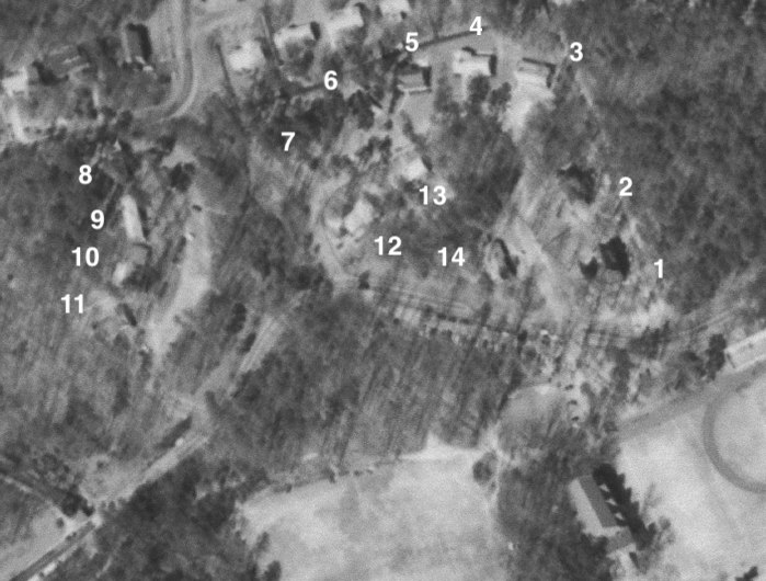
English: An aerial photograph from February 26, 1968 cropped to show the fraternity lodges at the University of Richmond |
| Date | |
| Source | https://earthexplorer.usgs.gov/scene/metadata/full/5e83d8e4870f4473/AR1VBYO00020088/ |
| Author | United States Geological Survey |
Licensing
This image is in the public domain in the United States because it only contains materials that originally came from the United States Geological Survey, an agency of the United States Department of the Interior. For more information, see the official USGS copyright policy.
|
File history
Click on a date/time to view the file as it appeared at that time.
| Date/Time | Thumbnail | Dimensions | User | Comment | |
|---|---|---|---|---|---|
| current | 16:07, 4 January 2022 |  | 699 × 530 (366 KB) | Bdl2001 | Uploaded a work by United States Geological Survey from https://earthexplorer.usgs.gov/scene/metadata/full/5e83d8e4870f4473/AR1VBYO00020088/ with UploadWizard |
File usage
The following pages on the English Wikipedia use this file (pages on other projects are not listed):