
File:Blank US Map, striped.svg

Original file (SVG file, nominally 959 × 593 pixels, file size: 94 KB)
| This is a file from the Wikimedia Commons. Information from its description page there is shown below. Commons is a freely licensed media file repository. You can help. |
Summary
| Description |
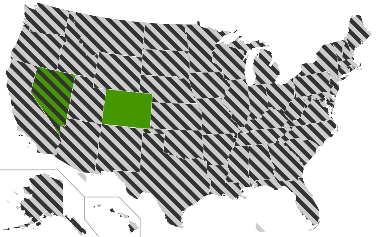
A blank map of the United States with the states striped allowing for derivatives to be easily made using CSS styles. All of the paths states in the file has been assigned an id consisting of the two letter abreviation for that state in order to enable easy editing using a text editor. The striping in neighbouring states have been made not to align on purpose since this makes it easier to distinguish the individual states. The state with a solid colour is also striped but provided as solid to give a code example for how to use this as a basis for a map with both solid and striped states. The circle on DC can be turned of by changing the For a practical application please see Same-sex marriage in the United States.svg
|
| Date | |
| Source | This version was made by Lokal_Profil using Inkscape and a text editor and is based on Blank US Map.svg by User:Theshibboleth. |
| Author | Lokal_Profil |
| Permission (Reusing this file) |
This file is licensed under the Creative Commons Attribution-Share Alike 2.5 Generic license. Attribution: Lokal_Profil
|
| Other versions |
Derivative works of this file: |
| SVG development |
File history
Click on a date/time to view the file as it appeared at that time.
| Date/Time | Thumbnail | Dimensions | User | Comment | |
|---|---|---|---|---|---|
| current | 07:59, 29 May 2009 | | 959 × 593 (94 KB) | Athelwulf | More human-readable. |
| 23:03, 26 May 2009 |  | 959 × 593 (94 KB) | Lokal Profil | {{Information |Description=A blank map of the United States with the states striped allowing for derivatives to be easily made using CSS styles. All of the paths states in the file has been assigned an id consisting of the two letter abreviation for that |