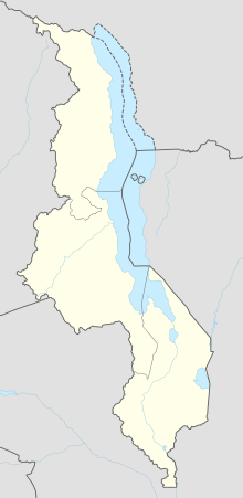
Chitipa Airport
This article includes a list of general references, but it lacks sufficient corresponding inline citations. (November 2021) |
Chitipa Airport | |||||||||||
|---|---|---|---|---|---|---|---|---|---|---|---|
| Summary | |||||||||||
| Airport type | Public | ||||||||||
| Serves | Chitipa | ||||||||||
| Elevation AMSL | 4,270 ft / 1,301 m | ||||||||||
| Coordinates | 09°42′00″S 33°16′00″E / 9.70000°S 33.26667°E | ||||||||||
| Map | |||||||||||
| Runways | |||||||||||
| |||||||||||
Sources: Google Maps | |||||||||||
Chitipa Airport (ICAO: FWCT) is an airport serving the town of Chitipa, Republic of Malawi.
See also[edit]
References[edit]
- Directory of Airports in Malawi
- Google Earth
External links[edit]

