
File:Württemberg-karte pieter-van-den-keere 1619.jpg

Size of this preview: 800 × 565 pixels. Other resolutions: 320 × 226 pixels | 640 × 452 pixels | 1,024 × 723 pixels | 1,280 × 903 pixels | 2,560 × 1,807 pixels | 4,568 × 3,224 pixels.
Original file (4,568 × 3,224 pixels, file size: 5.99 MB, MIME type: image/jpeg)
| This is a file from the Wikimedia Commons. Information from its description page there is shown below. Commons is a freely licensed media file repository. You can help. |
Summary
| Description |
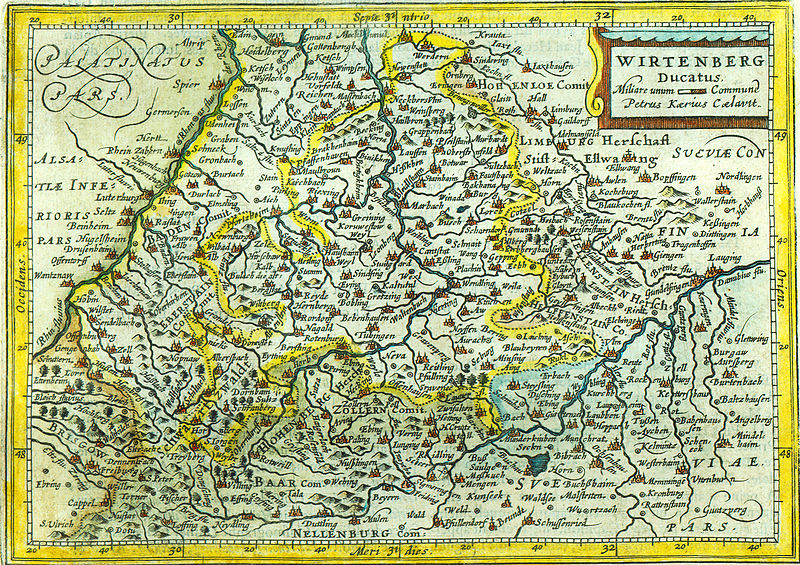
Topographisches Einzelblatt des Herzogtums Württemberg von circa 1619 (Topographical single sheet map of the duchy Württemberg in southern Germany from circa 1619 A.D.) |
|||||||||||||||||||||||||
| Date |
30. März 2007 (March 30th 2007) |
|||||||||||||||||||||||||
| Source |
selbst gescannt (self scanned) |
|||||||||||||||||||||||||
| Author |
|
|||||||||||||||||||||||||
| Permission (Reusing this file) |
Gemeinfrei "Altes Werk" (Public domain old) |
|||||||||||||||||||||||||
Licensing
|
This is a faithful photographic reproduction of a two-dimensional, public domain work of art. The work of art itself is in the public domain for the following reason:
The official position taken by the Wikimedia Foundation is that "faithful reproductions of two-dimensional public domain works of art are public domain".
This photographic reproduction is therefore also considered to be in the public domain in the United States. In other jurisdictions, re-use of this content may be restricted; see Reuse of PD-Art photographs for details. | ||||
File history
Click on a date/time to view the file as it appeared at that time.
| Date/Time | Thumbnail | Dimensions | User | Comment | |
|---|---|---|---|---|---|
| current | 12:59, 1 April 2007 | | 4,568 × 3,224 (5.99 MB) | Curnen | {{Information |Description= Topographisches Einzelblatt des Herzogstums Württemberg von circa 1619 (Topographical single sheet map of the duchy Württemberg in southern Germany from circa 1619 A.D.) |Source= selbst gescannt (self scanned) |Date= 30. Mä |
File usage
No pages on the English Wikipedia use this file (pages on other projects are not listed).
Global file usage
The following other wikis use this file:
- Usage on als.wikipedia.org
- Usage on ast.wikipedia.org
- Usage on de.wikipedia.org
- Usage on es.wikipedia.org
- Usage on et.wikipedia.org
- Usage on fr.wikipedia.org
- Usage on id.wikipedia.org
- Usage on la.wikipedia.org
- Usage on lb.wikipedia.org
- Usage on nl.wikipedia.org
- Usage on pt.wikipedia.org
- Usage on tr.wikipedia.org
- Usage on zh.wikipedia.org