
File:Vinnitsa province location map.svg

Size of this PNG preview of this SVG file: 533 × 562 pixels. Other resolutions: 228 × 240 pixels | 455 × 480 pixels | 728 × 768 pixels | 971 × 1,024 pixels | 1,942 × 2,048 pixels.
Original file (SVG file, nominally 533 × 562 pixels, file size: 132 KB)
| This is a file from the Wikimedia Commons. Information from its description page there is shown below. Commons is a freely licensed media file repository. You can help. |
Summary
| Description |
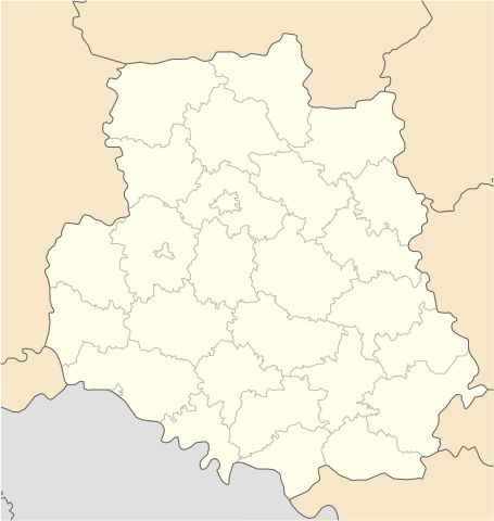
English: Location map of Vinnytsa province, Ukraine
Русский: Позиционная карта Винницкой области, Украина
Українська: Карта Вінницької області, Україна |
| Source | Own work |
| Author | Urutseg |
Licensing
| I, the copyright holder of this work, release this work into the public domain. This applies worldwide. In some countries this may not be legally possible; if so: I grant anyone the right to use this work for any purpose, without any conditions, unless such conditions are required by law. |
File history
Click on a date/time to view the file as it appeared at that time.
| Date/Time | Thumbnail | Dimensions | User | Comment | |
|---|---|---|---|---|---|
| current | 09:15, 28 June 2014 | | 533 × 562 (132 KB) | ערן | lighter borders between provinces |
| 11:30, 1 December 2010 |  | 533 × 562 (132 KB) | Urutseg | {{Information |Description={{en|1=Location map of Vinnytsa province, Ukraine}} {{ru|1=Позиционная карта Винницкой области, Украина}} |Source={{own}} |Author=Urutseg |Date= |Permission= |other_version |
File usage
No pages on the English Wikipedia use this file (pages on other projects are not listed).
Global file usage
The following other wikis use this file:
- Usage on ar.wikipedia.org
- Usage on az.wikipedia.org
- Usage on ba.wikipedia.org
- Usage on be.wikipedia.org
- Вінніцкая вобласць
- Брацлаў
- Жмэрынка
- Магілёў-Падольскі
- Крыжопіль
- Гайсын
- Хмільнык
- Ямпіль
- Шаргарад
- Турбіў
- Нава Прылука
- Стара Прылука
- Брыцькэ
- Вахніўка
- Чупрыніўка
- Шаблон:На карце/Украіна Вінніцкая вобласць
- Кабыльня
- Ладыжын (горад)
- Бар (Украіна)
- Тульчын
- Пагрэбішчэ
- Нэмірыў
- Лыпавэць
- Калыніўка
- Казятын
- Іллінці
- Гнівань
- Ксавэрыўка (пасёлак)
- Лыпавэць (пасёлак)
- Мала Біла
- Пылыпэнкавэ
- Підліснэ (Вінніцкі раён)
- Тэльмана (Лыпавэцкі раён)
- Ясэнэцкэ
- Бэрэсціўка (Лыпавэцкі раён)
- Біла (Вінніцкі раён)
- Білазэрыўка
- Багданіўка (Вінніцкі раён)
- Вэрбіўка (Лыпавэцкі раён)
- Вэрнянка
- Війціўці (Лыпавэцкі раён)
- Вікэнцііўка
- Ганніўка (Лыпавэцкі раён)
- Гардзііўка (Лыпавэцкі раён)
- Журавы (Лыпавэцкі раён)
- Зозіў (Лыпавэцкі раён)
View more global usage of this file.