
File:Villard Exterior 118503pv.jpg

Size of this preview: 800 × 550 pixels. Other resolutions: 320 × 220 pixels | 640 × 440 pixels | 1,024 × 704 pixels | 1,280 × 881 pixels | 2,560 × 1,761 pixels | 4,179 × 2,875 pixels.
Original file (4,179 × 2,875 pixels, file size: 2 MB, MIME type: image/jpeg)
| This is a file from the Wikimedia Commons. Information from its description page there is shown below. Commons is a freely licensed media file repository. You can help. |
|
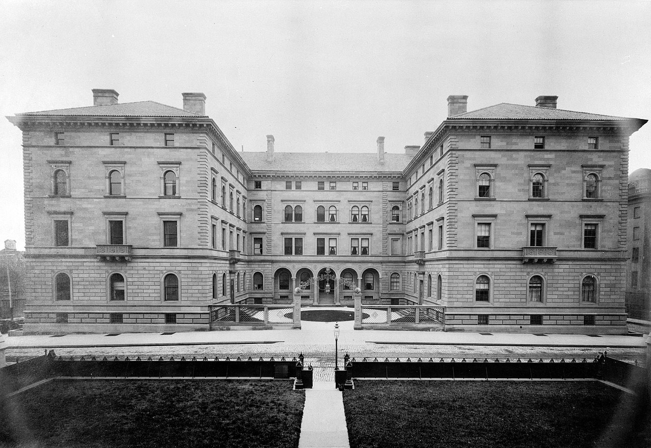
This is an image of a place or building that is listed on the National Register of Historic Places in the United States of America. Its reference number is 75001210. |
Summary
| Description |
English: Villard Houses, 451-457 Madison Avenue & 24 East Fifty-first Street, New York, New York County, NY - west facade.
Appearing as a single Italian palazzo, the Villard Houses were actually six residences built around a central courtyard by architects, McKim, Mead, and White |
|||||
| Date | circa 1890 | |||||
| Source |
|
|||||
| Author | Unknown author | |||||
| Permission (Reusing this file) |
|


| Object location | | View this and other nearby images on: OpenStreetMap |
|---|
File history
Click on a date/time to view the file as it appeared at that time.
| Date/Time | Thumbnail | Dimensions | User | Comment | |
|---|---|---|---|---|---|
| current | 15:56, 12 August 2018 | | 4,179 × 2,875 (2 MB) | Carl Ha | resolution |
| 14:17, 2 May 2009 |  | 854 × 628 (86 KB) | Cropbot | upload cropped version, operated by User:Finavon. Summary: border cropped | |
| 00:39, 30 October 2006 |  | 1,024 × 809 (111 KB) | Dogears | w:Historic American Buildings Survey w:Villard House {{PD-USGov-Interior-HABS}} Category:Villard House |
File usage
The following pages on the English Wikipedia use this file (pages on other projects are not listed):
Global file usage
The following other wikis use this file:
- Usage on de.wikipedia.org
- Usage on es.wikipedia.org
- Usage on he.wikipedia.org
- Usage on it.wikipedia.org
- Usage on ja.wikipedia.org
- Usage on la.wikipedia.org
- Usage on pt.wikipedia.org
- Usage on sl.wikipedia.org
- Usage on www.wikidata.org