
File:View up Poolburn Gorge 2.jpg

Size of this preview: 800 × 533 pixels. Other resolutions: 320 × 213 pixels | 640 × 427 pixels | 1,024 × 683 pixels | 1,280 × 853 pixels | 2,560 × 1,707 pixels | 4,896 × 3,264 pixels.
Original file (4,896 × 3,264 pixels, file size: 7.61 MB, MIME type: image/jpeg)
| This is a file from the Wikimedia Commons. Information from its description page there is shown below. Commons is a freely licensed media file repository. You can help. |
Summary
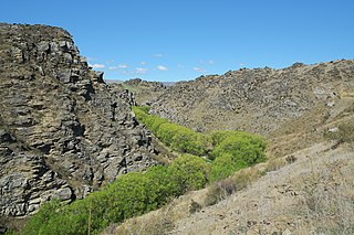
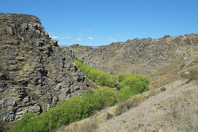
| Description | View up Poolburn Gorge (one of the tunnels on the Otago Central Rail Trail visible on the far right) |
| Date | |
| Source | Own work |
| Author | Pseudopanax at English Wikipedia |
| Camera location | | View this and other nearby images on: OpenStreetMap |
|---|
Licensing
| I, the copyright holder of this work, release this work into the public domain. This applies worldwide. In some countries this may not be legally possible; if so: I grant anyone the right to use this work for any purpose, without any conditions, unless such conditions are required by law. |
File history
Click on a date/time to view the file as it appeared at that time.
| Date/Time | Thumbnail | Dimensions | User | Comment | |
|---|---|---|---|---|---|
| current | 22:52, 16 February 2014 | | 4,896 × 3,264 (7.61 MB) | Pseudopanax | == {{int:filedesc}} == {{Information |Description=View up Poolburn Gorge (one of the tunnels on the Otago Central Rail Trail visible on the far right) |Source={{Own}} |Date=2013-10-03 |Author={{user at project|Pseudopanax|wikipedia|en}} }} {{location|4... |
File usage
The following pages on the English Wikipedia use this file (pages on other projects are not listed):
Global file usage
The following other wikis use this file:
- Usage on www.wikidata.org