
File:Vietnam North Korea South Korea Locator.png
No higher resolution available.
Vietnam_North_Korea_South_Korea_Locator.png (701 × 454 pixels, file size: 52 KB, MIME type: image/png)
| This is a file from the Wikimedia Commons. Information from its description page there is shown below. Commons is a freely licensed media file repository. You can help. |
Summary
| Description |
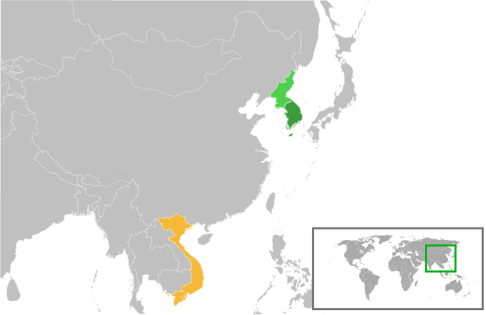
English: Locator of Japan, North Korea, and South Korea.
中文:越南与朝鲜半岛(朝鲜、韩国)的地理位置示意图。
עברית: מפה המציגה בכתום את וייטנאם, בירוק כהה קוריאה הדרומית ובירוק בהיר קוריאה הצפונית |
| Source | Own work |
| Author | Betoseha |
Licensing
I, the copyright holder of this work, hereby publish it under the following licenses:
This file is licensed under the Creative Commons Attribution-Share Alike 3.0 Unported license.
- You are free:
- to share – to copy, distribute and transmit the work
- to remix – to adapt the work
- Under the following conditions:
- attribution – You must give appropriate credit, provide a link to the license, and indicate if changes were made. You may do so in any reasonable manner, but not in any way that suggests the licensor endorses you or your use.
- share alike – If you remix, transform, or build upon the material, you must distribute your contributions under the same or compatible license as the original.

|
Permission is granted to copy, distribute and/or modify this document under the terms of the GNU Free Documentation License, Version 1.2 or any later version published by the Free Software Foundation; with no Invariant Sections, no Front-Cover Texts, and no Back-Cover Texts. A copy of the license is included in the section entitled GNU Free Documentation License. |
You may select the license of your choice.
File history
Click on a date/time to view the file as it appeared at that time.
| Date/Time | Thumbnail | Dimensions | User | Comment | |
|---|---|---|---|---|---|
| current | 18:13, 10 August 2011 | | 701 × 454 (52 KB) | 玖巧仔 | 框 |
| 16:56, 10 August 2011 |  | 701 × 454 (52 KB) | 玖巧仔 | ndkh居中 | |
| 23:24, 6 August 2011 |  | 465 × 452 (18 KB) | 玖巧仔 | 缩小范围,令三者显示更大,以在较小视图下也能看到。 | |
| 10:53, 6 August 2011 |  | 1,357 × 628 (28 KB) | Betoseha | color change | |
| 10:48, 6 August 2011 |  | 1,357 × 628 (28 KB) | Betoseha | {{Information |Description ={{en|1=Locator of Japan, North Korea, and South Korea.}} {{zh|1=越南与朝鲜半岛(朝鲜、韩国)的地理位置示意图。}} |Source ={{own}} |Author =Betoseha |Date = | |
File usage
The following pages on the English Wikipedia use this file (pages on other projects are not listed):
Global file usage
The following other wikis use this file:
- Usage on ar.wikipedia.org
- Usage on az.wikipedia.org
- Usage on es.wikipedia.org
- Usage on he.wikipedia.org
- Usage on id.wikipedia.org
- Usage on ja.wikipedia.org
- Usage on ko.wikipedia.org
- Usage on pt.wikipedia.org
- Usage on ru.wikipedia.org
- Usage on uk.wikipedia.org
- Usage on uz.wikipedia.org
- Usage on vi.wikipedia.org
- Usage on www.wikidata.org
- Usage on zh.wikipedia.org