
File:Van Alen House, Kinderhook, NY.jpg

Size of this preview: 800 × 497 pixels. Other resolutions: 320 × 199 pixels | 640 × 397 pixels | 1,024 × 636 pixels | 1,280 × 795 pixels | 1,814 × 1,126 pixels.
Original file (1,814 × 1,126 pixels, file size: 2.15 MB, MIME type: image/jpeg)
| This is a file from the Wikimedia Commons. Information from its description page there is shown below. Commons is a freely licensed media file repository. You can help. |
|
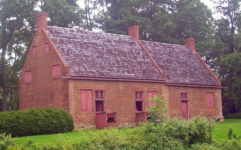
This is an image of a place or building that is listed on the National Register of Historic Places in the United States of America. Its reference number is 67000011. |
| Description |
English: Luycas Van Alen House, a surviving Dutch colonial farmhouse on NY 9H outside Kinderhook, NY, USA |
||||||||
| Date | |||||||||
| Source | Own work | ||||||||
| Author | Daniel Case | ||||||||
| Permission (Reusing this file) |
English Wikipedia user Daniel Case, the copyright holder of this work, hereby publishes it under the following license:
|

| Object location | | View this and other nearby images on: OpenStreetMap |
|---|
File history
Click on a date/time to view the file as it appeared at that time.
| Date/Time | Thumbnail | Dimensions | User | Comment | |
|---|---|---|---|---|---|
| current | 17:17, 16 August 2008 | | 1,814 × 1,126 (2.15 MB) | Daniel Case | {{Information |Description={{en|1=Luycas Van Alen House, a surviving Dutch colonial farmhouse on NY 9H outside Kinderhook, NY, USA}} |Source=Own work by uploader |Author=[[User: |
File usage
The following pages on the English Wikipedia use this file (pages on other projects are not listed):
Global file usage
The following other wikis use this file:
- Usage on de.wikipedia.org
- Usage on fr.wikipedia.org
- Usage on fy.wikipedia.org
- Usage on pt.wikipedia.org
- Usage on www.wikidata.org