
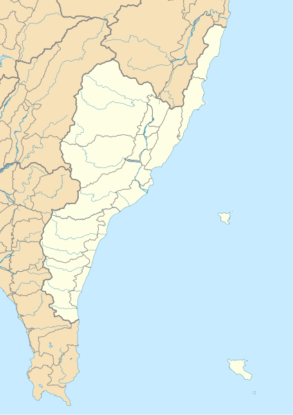
File:Valangaw - Tâitang - (Taitung County) location map.svg

Size of this PNG preview of this SVG file: 424 × 600 pixels. Other resolutions: 170 × 240 pixels | 339 × 480 pixels | 543 × 768 pixels | 724 × 1,024 pixels | 1,448 × 2,048 pixels | 744 × 1,052 pixels.
Original file (SVG file, nominally 744 × 1,052 pixels, file size: 340 KB)
| This is a file from the Wikimedia Commons. Information from its description page there is shown below. Commons is a freely licensed media file repository. You can help. |
_location_map.svg)
Summary
| Description |
English: *Projection: TWD97 (≈ WGS84)
|
| Date | |
| Source | Own work |
| Author | A-lú-mih |
| SVG development |
Licensing
I, the copyright holder of this work, hereby publish it under the following license:
This file is licensed under the Creative Commons Attribution-Share Alike 4.0 International license.
- You are free:
- to share – to copy, distribute and transmit the work
- to remix – to adapt the work
- Under the following conditions:
- attribution – You must give appropriate credit, provide a link to the license, and indicate if changes were made. You may do so in any reasonable manner, but not in any way that suggests the licensor endorses you or your use.
- share alike – If you remix, transform, or build upon the material, you must distribute your contributions under the same or compatible license as the original.
File history
Click on a date/time to view the file as it appeared at that time.
| Date/Time | Thumbnail | Dimensions | User | Comment | |
|---|---|---|---|---|---|
| current | 14:29, 17 May 2018 | | 744 × 1,052 (340 KB) | A-lú-mih | border width change: county+ township+ shores- |
| 15:59, 14 May 2018 |  | 744 × 1,052 (299 KB) | A-lú-mih | river | |
| 14:51, 14 May 2018 |  | 744 × 1,052 (296 KB) | A-lú-mih | rivers, more detailed sea shore | |
| 12:24, 20 April 2018 |  | 744 × 1,052 (316 KB) | A-lú-mih | fix border | |
| 14:37, 19 April 2018 |  | 744 × 1,052 (244 KB) | A-lú-mih | try fix some bug | |
| 14:31, 19 April 2018 |  | 744 × 1,052 (224 KB) | A-lú-mih | User created page with UploadWizard |
File usage
The following pages on the English Wikipedia use this file (pages on other projects are not listed):
- Baxian Caves
- Beinan Cultural Park
- Chiaming Lake
- Dapo Pond
- Dulan Site
- Jhihben National Forest Recreation Area
- Lisong Hot Spring
- Luye Highlands
- Pekingese Dog Rock
- Pipa Lake
- Sleeping Beauty Rock
- Taitung Aboriginal Gallery
- Xiangyang National Forest Recreation Area
- Zhaori Hot Spring
- Zhiben Wetlands
- Module:Location map/data/Taitung County
- Module:Location map/data/Taitung County/doc
Global file usage
The following other wikis use this file:
- Usage on de.wikipedia.org
- Usage on fa.wikipedia.org
- Usage on fr.wikipedia.org
- Usage on si.wikipedia.org
- Usage on uz.wikipedia.org
- Usage on zh-min-nan.wikipedia.org
_location_map.svg)