
File:Vailoa Map.jpg
No higher resolution available.
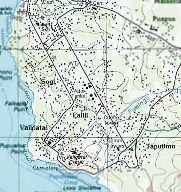
Vailoa_Map.jpg (358 × 381 pixels, file size: 30 KB, MIME type: image/jpeg)
| This is a file from the Wikimedia Commons. Information from its description page there is shown below. Commons is a freely licensed media file repository. You can help. |
Summary
| Description |
English: 2001 USGS topo map of village area |
| Date | |
| Source | http://www.airfields-freeman.com/HI/Airfields_W_Pacific.htm#leone |
| Author | Don Cole |
Licensing
This image is in the public domain in the United States because it only contains materials that originally came from the United States Geological Survey, an agency of the United States Department of the Interior. For more information, see the official USGS copyright policy.
|
File history
Click on a date/time to view the file as it appeared at that time.
| Date/Time | Thumbnail | Dimensions | User | Comment | |
|---|---|---|---|---|---|
| current | 21:58, 17 January 2021 | | 358 × 381 (30 KB) | Faitasi37 | Uploaded a work by Don Cole from http://www.airfields-freeman.com/HI/Airfields_W_Pacific.htm#leone with UploadWizard |
File usage
No pages on the English Wikipedia use this file (pages on other projects are not listed).