
File:USGS map of Sabine Pass.jpg
Size of this preview: 467 × 599 pixels. Other resolutions: 187 × 240 pixels | 374 × 480 pixels | 599 × 768 pixels | 798 × 1,024 pixels | 1,500 × 1,924 pixels.
Original file (1,500 × 1,924 pixels, file size: 900 KB, MIME type: image/jpeg)
| This is a file from the Wikimedia Commons. Information from its description page there is shown below. Commons is a freely licensed media file repository. You can help. |
Summary
| Description |
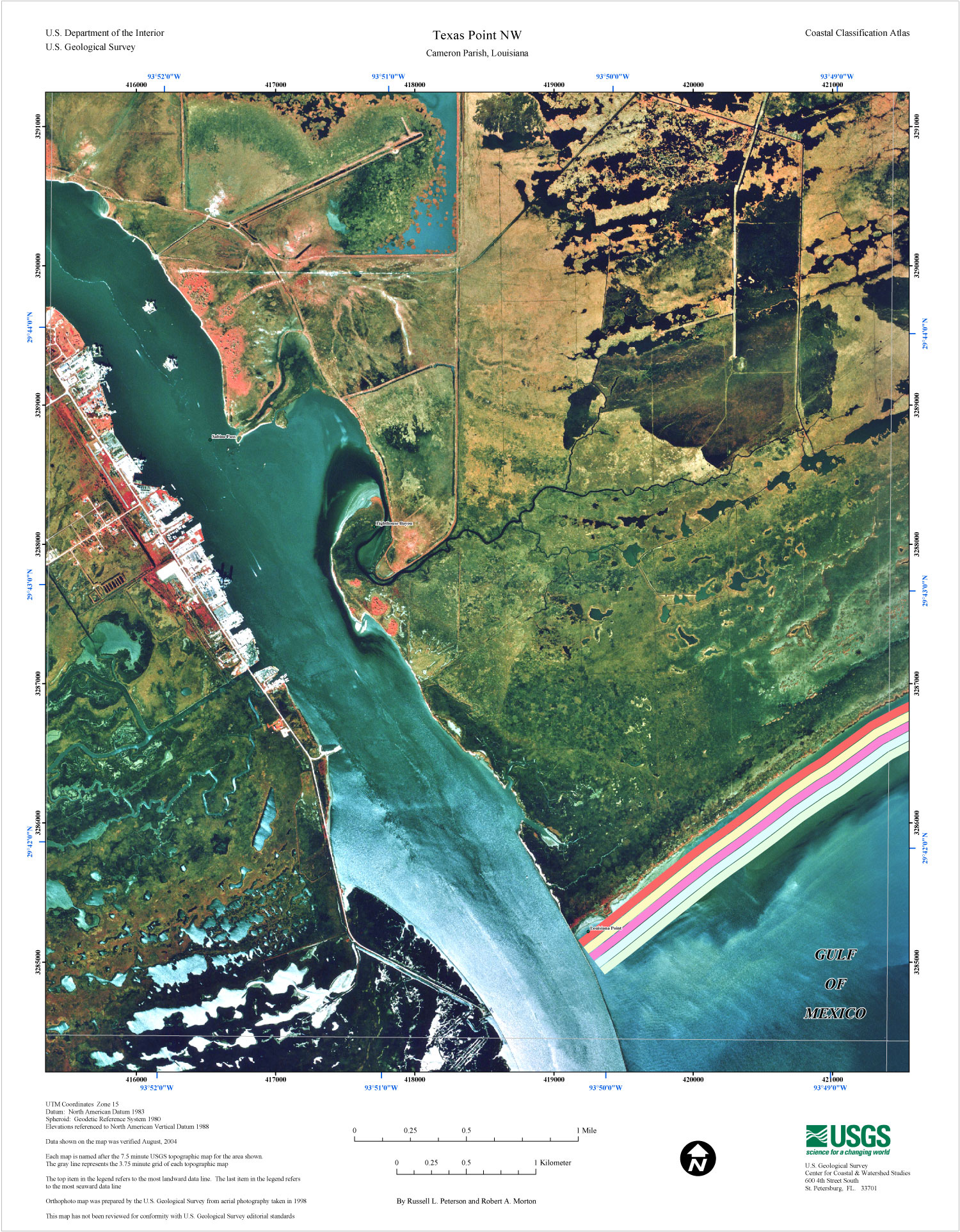
English: USGS map of Sabine Pass at the border of Texas and Louisiana, 2004. Orthophoto map was prepared by the U.S. Geological Survey from aerial photography taken in 1998 |
| Date | |
| Source | https://pubs.usgs.gov/of/2005/1261/texas-pointNW.html |
| Author | USGS |
Licensing
This image is in the public domain in the United States because it only contains materials that originally came from the United States Geological Survey, an agency of the United States Department of the Interior. For more information, see the official USGS copyright policy.
|
File history
Click on a date/time to view the file as it appeared at that time.
| Date/Time | Thumbnail | Dimensions | User | Comment | |
|---|---|---|---|---|---|
| current | 22:07, 26 August 2020 | | 1,500 × 1,924 (900 KB) | Diannaa | bigger version, from same source |
| 05:02, 26 June 2006 |  | 416 × 534 (85 KB) | Johntex~commonswiki | USGS map of Sabine Pass at the border of Texas and Louisiana. Uploaded by Johntex Category:Texas Category:Louisiana Category:Maps |
File usage
The following pages on the English Wikipedia use this file (pages on other projects are not listed):
Global file usage
The following other wikis use this file:
- Usage on ar.wikipedia.org
- Usage on ceb.wikipedia.org
- Usage on fr.wikipedia.org
- Usage on id.wikipedia.org
- Usage on it.wikipedia.org
- Usage on www.wikidata.org