
File:USA Montana location map.svg

Size of this PNG preview of this SVG file: 800 × 595 pixels. Other resolutions: 320 × 238 pixels | 640 × 476 pixels | 1,024 × 761 pixels | 1,280 × 952 pixels | 2,560 × 1,903 pixels | 1,201 × 893 pixels.
Original file (SVG file, nominally 1,201 × 893 pixels, file size: 636 KB)
| This is a file from the Wikimedia Commons. Information from its description page there is shown below. Commons is a freely licensed media file repository. You can help. |
Summary
| Description |
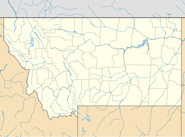
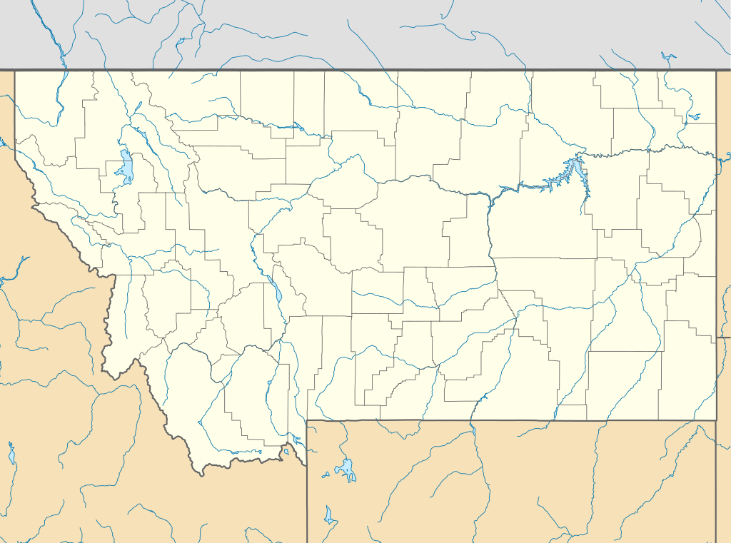
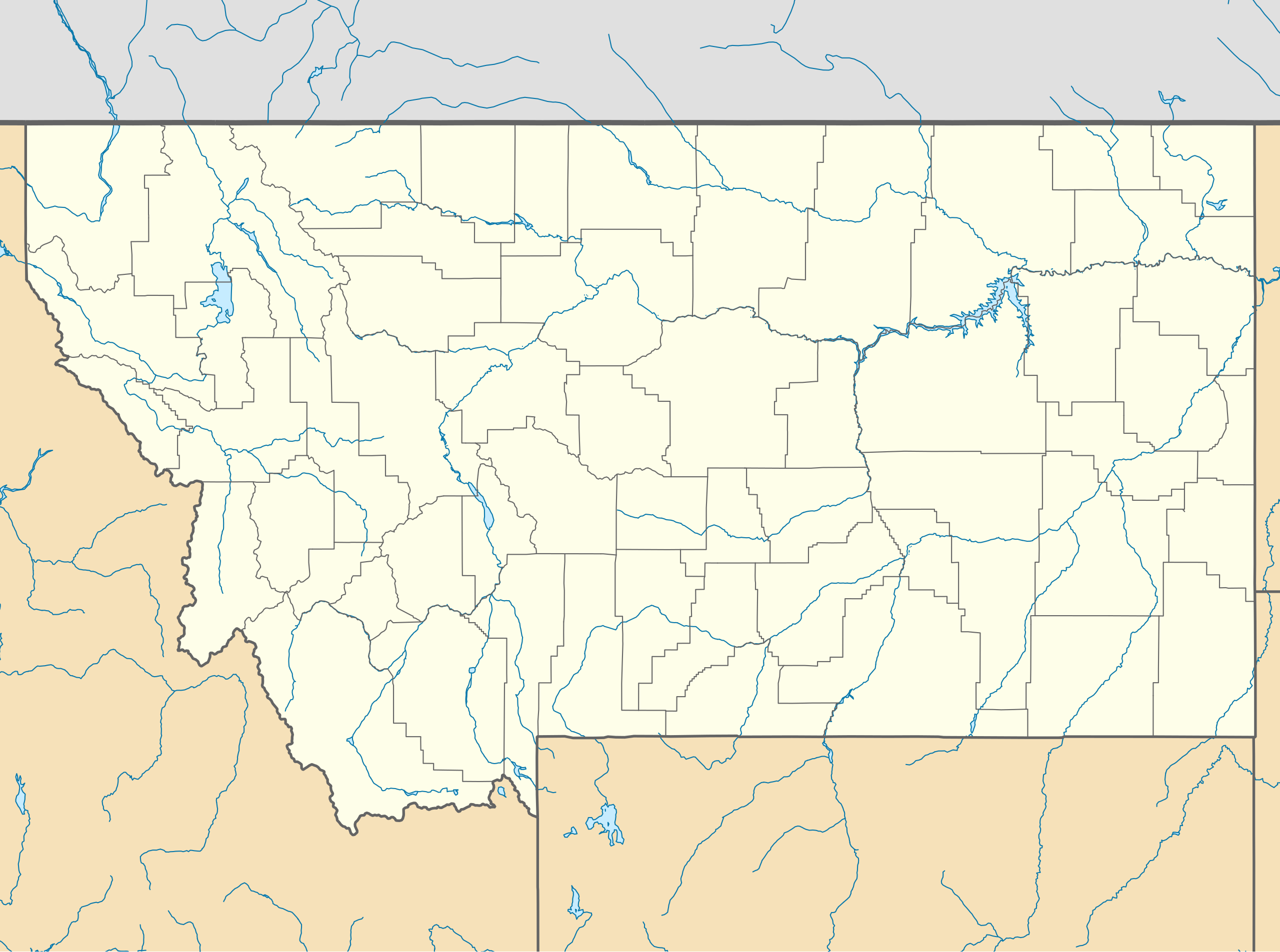
Quadratische Plattkarte, N-S-Streckung 150.0 %. Geographische Begrenzung der Karte:
Equirectangular projection, N/S stretching 150.0 %. Geographic limits of the map:
|
||
| Date | |||
| Source | Own work | ||
| Author | Alexrk2 | ||
| Other versions |
Derivative works of this file:
|
||
| SVG development |
|


Licensing
I, the copyright holder of this work, hereby publish it under the following licenses:

|
Permission is granted to copy, distribute and/or modify this document under the terms of the GNU Free Documentation License, Version 1.2 or any later version published by the Free Software Foundation; with no Invariant Sections, no Front-Cover Texts, and no Back-Cover Texts. A copy of the license is included in the section entitled GNU Free Documentation License. |
This file is licensed under the Creative Commons Attribution 3.0 Unported license.
- You are free:
- to share – to copy, distribute and transmit the work
- to remix – to adapt the work
- Under the following conditions:
- attribution – You must give appropriate credit, provide a link to the license, and indicate if changes were made. You may do so in any reasonable manner, but not in any way that suggests the licensor endorses you or your use.
You may select the license of your choice.
File history
Click on a date/time to view the file as it appeared at that time.
| Date/Time | Thumbnail | Dimensions | User | Comment | |
|---|---|---|---|---|---|
| current | 20:33, 20 January 2019 | | 1,201 × 893 (636 KB) | Milenioscuro | Does not match with the color conventions |
| 23:52, 18 January 2019 |  | 1,201 × 893 (657 KB) | Allice Hunter | Colours changed | |
| 15:39, 2 July 2009 |  | 1,201 × 893 (636 KB) | Alexrk2 | == Beschreibung == {{Information |Description= {{de|Positionskarte von Montana, USA}} Quadratische Plattkarte, N-S-Streckung 150.0 %. Geographische Begrenzung der Karte: * N: 49.8° N * S: 43.6° N * W: 116.3° W * O: 103.8° W |
File usage
More than 100 pages use this file. The following list shows the first 100 pages that use this file only. A full list is available.
- Alzada, Montana
- Anaconda, Montana
- Armstead, Montana
- Atlantic Cable Quartz Lode
- Babb, Montana
- Bannack, Montana
- Battle of the Little Bighorn
- Beaverhead Rock
- Belgrade, Montana
- Belton Chalets
- Berkeley Pit
- Biddle, Montana
- Billings Montana Temple
- Billings station
- Boulder, Montana
- Box Elder, Montana
- Bozeman, Montana
- Brockway, Montana
- Burton K. Wheeler House
- Butte–Anaconda Historic District
- Bynum, Montana
- C. M. Russell Museum Complex
- Camp Disappointment
- Chief Plenty Coups (Alek-Chea-Ahoosh) State Park and Home
- Clark Canyon Dam
- College of Montana
- Comertown, Montana
- Comet, Montana
- Copper King Mansion
- Coutts/Ross International Airport
- Denton Airport
- Dooley, Montana
- Elkhorn, Montana
- Emigrant, Montana
- Ennis, Montana
- Fishtail, Montana
- Fort Assinniboine
- Fort Benton, Montana
- Fort C. F. Smith (Fort Smith, Montana)
- Fort Keogh
- Fort Missoula
- Fort Peck Dam
- Gallatin Gateway, Montana
- Gallatin Gateway Inn
- Garnet, Montana
- Garryowen, Montana
- Glacial Lake Missoula
- Granite Park Chalet
- Grant–Kohrs Ranch National Historic Site
- Great Falls Portage
- Great Northern Railway Buildings
- Izaak Walton Inn
- KPRK
- Kindrick Legion Field
- Lake McDonald Lodge
- Lake McDonald Lodge Historic District
- Lewistown Air Force Station
- Lewistown Municipal Airport
- Libby, Montana
- Lincoln, Montana
- List of Montana state parks
- Lombard, Montana
- Mai Wah Museum
- Mann Gulch fire
- Many Glacier Hotel
- Mariana UFO incident
- Martinsdale, Montana
- Marysville, Montana
- Maudlow, Montana
- Missoula, Montana
- Missouri Headwaters State Park
- Monida, Montana
- Montana Governor's Residence
- Montana PBS
- Moss Mansion
- Naismith, Montana
- Northeast Entrance Station
- Nye, Montana
- Oswego, Montana
- Paradise Valley (Montana)
- Pompeys Pillar (community), Montana
- Pony, Montana
- Rankin Ranch
- Rapelje, Montana
- Rising Sun Auto Camp
- Skypoint
- Socialist Hall
- Sperry Chalet
- St. Ignatius, Montana
- St. Ignatius Mission
- Sumatra, Montana
- Tarkio, Montana
- Traveler's Rest (Lolo, Montana)
- Two Medicine Store
- Vananda, Montana
- Vida, Montana
- Walkerville, Montana
- Washoe Theater
- West Glacier, Montana
- Western Heritage Center
View more links to this file.
Global file usage
The following other wikis use this file:
- Usage on an.wikipedia.org
- Usage on ar.wikipedia.org
- Usage on azb.wikipedia.org
- پیونیر جانکشن، مونتانا
- لیک مری رونن، مونتانا
- لیتل براوینق، مونتانا
- سانتا ریتا، مونتانا
- هبقن لیک استیتس، مونتانا
- وست کوتنای، مونتانا
- شامات، مونتانا
- ویکسویل، مونتانا
- فاکس، مونتانا
- کت کریک، مونتانا
- بل کریک، مونتانا
- ملویل، مونتانا
- آسویقو، مونتانا
- کورینت، مونتانا
- کربی، مونتانا
- هانقری جو، مونتانا
- کارترویل، مونتانا
- مکلیود، مونتانا
- کینزی، مونتانا
- ساوت قلستونبری، مونتانا
- هینزدیل، مانتانا
- کاریوون، مونتانا
- لیتل بیترروت لیک، مونتانا
- هپیز این، مونتانا
- بلومفیلد، مونتانا
- براکوی، مونتانا
- سدان، مونتانا
- مکسویل، مونتانا
- ریدر کریک، مونتانا
- لوتر، مونتانا
- سوان لیک، مونتانا
- ساوت هیلز، مونتانا
- راپلیی، مونتانا
- کوروین اسپرینقز، مونتانا
- هلنا فلتس، مونتانا
- دکر، مونتانا
- راکی بوی وست، مونتانا
- د سیلوس، مونتانا
- پاندرزا پاینز، مونتانا
- پیلتزویل، مونتانا
- کمس، مونتانا
- آکتون، مونتانا
- سیلوانیت، مونتانا
- کوندون، مونتانا
- میرز، مونتانا
View more global usage of this file.