
File:USA Massachusetts location map.svg

Size of this PNG preview of this SVG file: 800 × 546 pixels. Other resolutions: 320 × 219 pixels | 640 × 437 pixels | 1,024 × 699 pixels | 1,280 × 874 pixels | 2,560 × 1,748 pixels | 1,050 × 717 pixels.
Original file (SVG file, nominally 1,050 × 717 pixels, file size: 244 KB)
| This is a file from the Wikimedia Commons. Information from its description page there is shown below. Commons is a freely licensed media file repository. You can help. |
Summary
| Description |
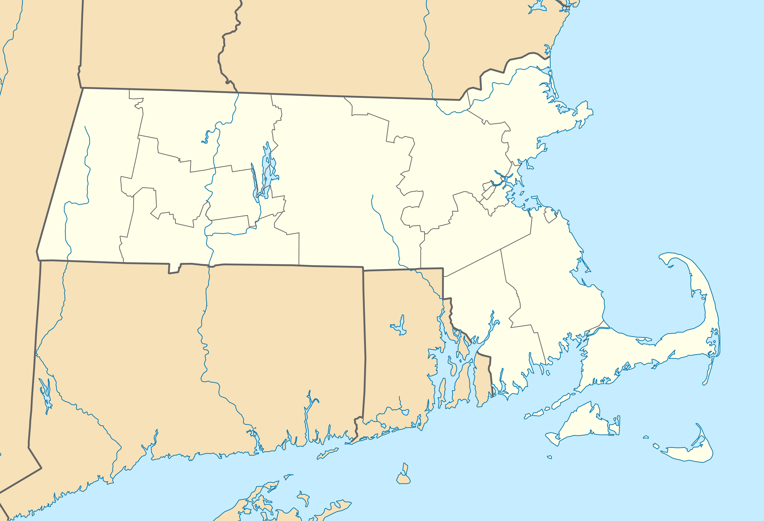
Quadratische Plattkarte, N-S-Streckung 130.0 %. Geographische Begrenzung der Karte:
Equirectangular projection, N/S stretching 130.0 %. Geographic limits of the map:
|
||
| Date | |||
| Source | Own work | ||
| Author | Alexrk2 | ||
| Other versions |
Derivative works of this file: |
||
| SVG development |
|


Licensing
I, the copyright holder of this work, hereby publish it under the following licenses:

|
Permission is granted to copy, distribute and/or modify this document under the terms of the GNU Free Documentation License, Version 1.2 or any later version published by the Free Software Foundation; with no Invariant Sections, no Front-Cover Texts, and no Back-Cover Texts. A copy of the license is included in the section entitled GNU Free Documentation License. |
This file is licensed under the Creative Commons Attribution 3.0 Unported license.
- You are free:
- to share – to copy, distribute and transmit the work
- to remix – to adapt the work
- Under the following conditions:
- attribution – You must give appropriate credit, provide a link to the license, and indicate if changes were made. You may do so in any reasonable manner, but not in any way that suggests the licensor endorses you or your use.
You may select the license of your choice.
File history
Click on a date/time to view the file as it appeared at that time.
| Date/Time | Thumbnail | Dimensions | User | Comment | |
|---|---|---|---|---|---|
| current | 11:13, 5 July 2009 | | 1,050 × 717 (244 KB) | Alexrk2 | resize |
| 19:38, 25 June 2009 |  | 800 × 546 (237 KB) | Alexrk2 | == Beschreibung == {{Information |Description= {{de|Positionskarte von Massachusetts, USA}} Quadratische Plattkarte, N-S-Streckung 130.0 %. Geographische Begrenzung der Karte: * N: 43.1° N * S: 41.0° N * W: 73.7° W * O |
File usage
More than 100 pages use this file. The following list shows the first 100 pages that use this file only. A full list is available.
- Acton, Massachusetts
- Agawam, Massachusetts
- Amherst, Massachusetts
- Amherst Center, Massachusetts
- Andover, Massachusetts
- Arlington, Massachusetts
- Ashland, Massachusetts
- Attleboro, Massachusetts
- Auburndale, Massachusetts
- Back Bay, Boston
- Battleship Cove
- Beacon Hill, Boston
- Belchertown State School
- Bridgewater (CDP), Massachusetts
- Brook Farm
- Brookline, Massachusetts
- Central Square, Cambridge
- Chelsea, Massachusetts
- Chestnut Hill, Massachusetts
- Chicopee, Massachusetts
- College of the Holy Cross
- Dean College
- Dighton Rock
- Dorchester Heights
- Dunster House
- East Boston
- East Freetown, Massachusetts
- Edward Gorey House
- Elizabeth Islands
- Ellen Swallow Richards
- Ether Dome
- Fall River, Massachusetts
- Faneuil Hall
- Framingham, Massachusetts
- Gloucester, Massachusetts
- Green Harbor-Cedar Crest, Massachusetts
- Harvard Faculty of Arts and Sciences
- Harvard Square
- Harvard Stadium
- Harvard Yard
- Haverhill, Massachusetts
- Historic Deerfield
- Holyoke, Massachusetts
- Hoosac Tunnel
- Hopedale (CDP), Massachusetts
- House of the Seven Gables
- Inman Square
- John F. Kennedy Presidential Library and Museum
- John Hancock Tower
- Lawrence, Massachusetts
- Lexington, Massachusetts
- List of Massachusetts state parks
- Lowell, Massachusetts
- Malden, Massachusetts
- Marshfield, Massachusetts
- Marshfield Hills, Massachusetts
- Massachusetts Museum of Contemporary Art
- Merrimac Town Forest
- Metropolitan State Hospital (Massachusetts)
- Middlesex Canal
- Milton, Massachusetts
- Mohawk Trail
- Mount Auburn Cemetery
- Museum of Fine Arts, Boston
- Muskeget Island
- Nahant, Massachusetts
- Naushon Island
- Needham, Massachusetts
- New Bedford, Massachusetts
- New England Conservatory of Music
- Newton, Massachusetts
- North Amherst, Massachusetts
- Old South Meeting House
- Old State House (Boston)
- Padanaram, Massachusetts
- Peabody Essex Museum
- Penikese Island
- Plymouth Center, Massachusetts
- Plymouth Rock
- Quincy Market
- Sankaty Head Golf Club
- Shays' Rebellion
- Sleepy Hollow Cemetery (Concord, Massachusetts)
- Somerville, Massachusetts
- South Amherst, Massachusetts
- South End, Boston
- Springfield Armory
- Trinity Church (Boston)
- Turners Falls, Massachusetts
- USS Cassin Young
- USS Constitution
- USS Joseph P. Kennedy Jr.
- USS Lionfish
- USS New Hampshire (1864)
- University of Massachusetts
- Wahconah Park
- Walter E. Fernald Developmental Center
- Waltham, Massachusetts
- Wang Theatre
- Wellesley, Massachusetts
View more links to this file.
Global file usage
The following other wikis use this file:
- Usage on an.wikipedia.org
- Usage on ar.wikipedia.org
- Usage on ast.wikipedia.org
- Usage on azb.wikipedia.org
- کوئنسی، ماساچوست
- ویموث، ماساچوست
- رندولف، ماساچوست
- قرندبی ، ماساچوست
- بلیس کورنر، ماساچوست
- هلند ، ماساچوست
- لینوود، ماساچوست
- سیتانز کینقدام، ماساچوست
- کوسکاتا، ماساچوست
- نیوتون سنتر، ماساچوست
- آبرندیل، ماساچوست
- هتفیلد ، ماساچوست
- ویلبراهام ، ماساچوست
- نورت امهرست، ماساچوست
- بلچرتاون ، ماساچوست
- اسمیت میلر، ماساچوست
- گونئی امهرست ، ماساچوست
- آکتون، ماساچوست
- نونانتوم، ماساچوست
- واووینت، ماساچوست
- آندوور، ماساچوست
- آشلاند، ماساچوست
- وزساقوست کولونی
- پولپیس، ماساچوست
- شاوکمو، ماساچوست
- میلتون، ماساچوست
- Usage on az.wikipedia.org
- Usage on be-tarask.wikipedia.org
- Usage on be.wikipedia.org
View more global usage of this file.