
File:Txu-oclc-10552568-nh51-1.jpg

Size of this preview: 786 × 600 pixels. Other resolutions: 315 × 240 pixels | 629 × 480 pixels | 1,006 × 768 pixels | 1,280 × 977 pixels | 2,560 × 1,954 pixels | 5,000 × 3,816 pixels.
Original file (5,000 × 3,816 pixels, file size: 5.21 MB, MIME type: image/jpeg)
| This is a file from the Wikimedia Commons. Information from its description page there is shown below. Commons is a freely licensed media file repository. You can help. |
Summary
| Description |
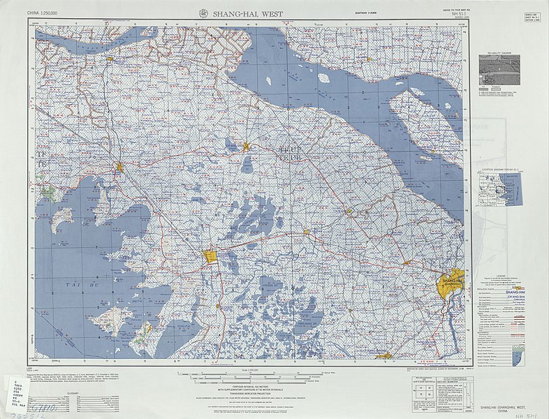
English: China AMS Topographic Map of Western Shanghai Province (Shang-Hai, West) and environs, including Suzhou. Based on WWII-era data. |
| Date | 1950s |
| Source | Courtesy of the University of Texas Libraries, The University of Texas at Austin. |
| Author | Army Map Service, Corps of Engineers |
Licensing
This image or file is a work of a U.S. Army Corps of Engineers soldier or employee, taken or made as part of that person's official duties. As a work of the U.S. federal government, the image is in the public domain.
|
File history
Click on a date/time to view the file as it appeared at that time.
| Date/Time | Thumbnail | Dimensions | User | Comment | |
|---|---|---|---|---|---|
| current | 05:32, 13 September 2019 | | 5,000 × 3,816 (5.21 MB) | Geographyinitiative | User created page with UploadWizard |
File usage
No pages on the English Wikipedia use this file (pages on other projects are not listed).
Global file usage
The following other wikis use this file:
- Usage on en.wiktionary.org