
File:Txu-oclc-10552568-ng48-2.jpg

Size of this preview: 793 × 600 pixels. Other resolutions: 317 × 240 pixels | 635 × 480 pixels | 1,015 × 768 pixels | 1,280 × 968 pixels | 2,560 × 1,937 pixels | 5,000 × 3,783 pixels.
Original file (5,000 × 3,783 pixels, file size: 5.16 MB, MIME type: image/jpeg)
| This is a file from the Wikimedia Commons. Information from its description page there is shown below. Commons is a freely licensed media file repository. You can help. |
Summary
| Description |
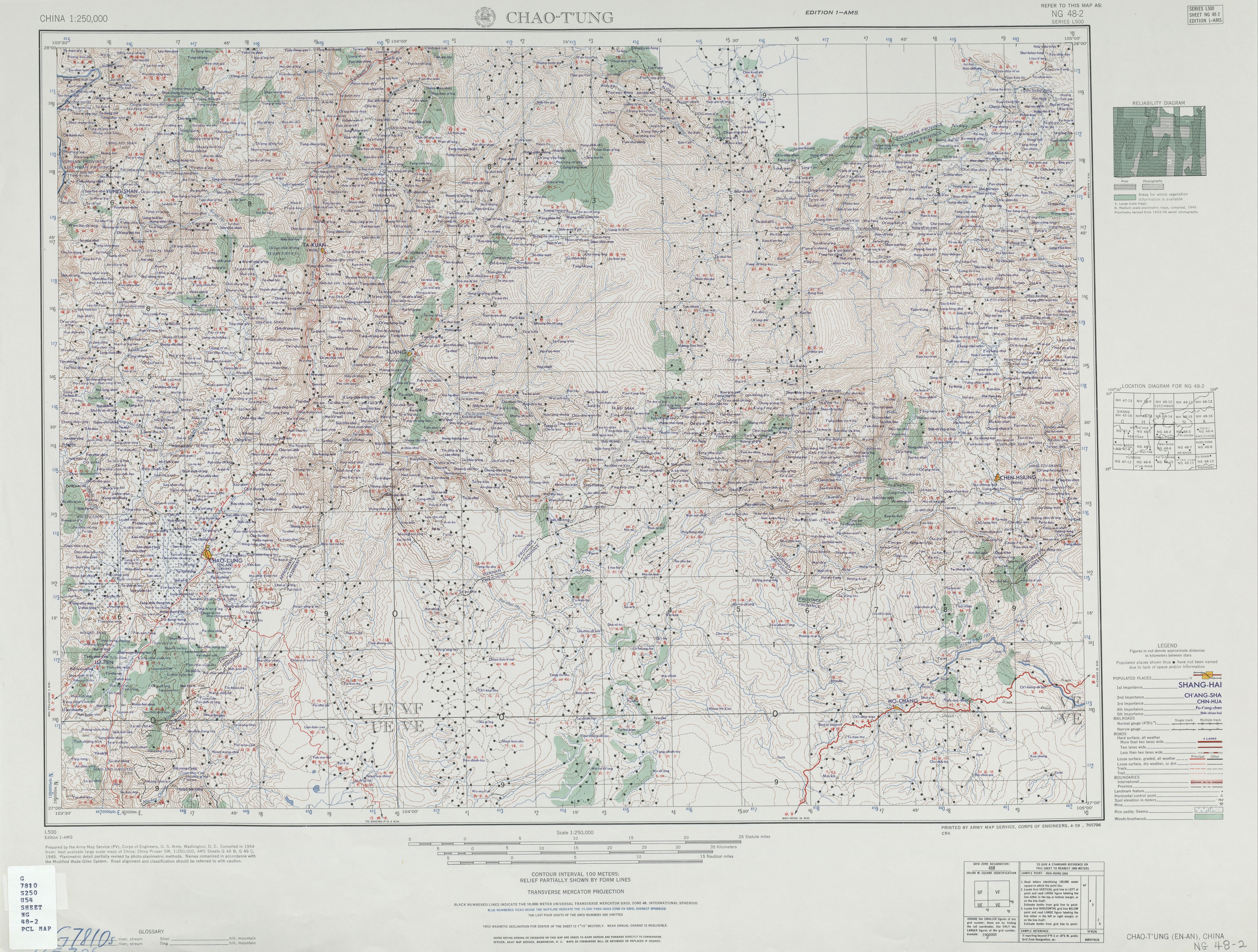
English: Map of Zhaotong (Chao-t'ung, En-an) area, Yunnan |
| Date | |
| Source | http://legacy.lib.utexas.edu/maps/ams/china/txu-oclc-10552568-ng48-2.jpg |
| Author | Army Map Service (PV), Corps of Engineers 1954 |
| Other versions |
|

Licensing
This image or file is a work of a U.S. Army Corps of Engineers soldier or employee, taken or made as part of that person's official duties. As a work of the U.S. federal government, the image is in the public domain.
|
File history
Click on a date/time to view the file as it appeared at that time.
| Date/Time | Thumbnail | Dimensions | User | Comment | |
|---|---|---|---|---|---|
| current | 12:41, 10 September 2019 | | 5,000 × 3,783 (5.16 MB) | Geographyinitiative | User created page with UploadWizard |
File usage
The following pages on the English Wikipedia use this file (pages on other projects are not listed):