
File:Tropical Depression 25 oct 2002 0838Z.jpg
Size of this preview: 580 × 600 pixels. Other resolutions: 232 × 240 pixels | 464 × 480 pixels | 743 × 768 pixels | 1,180 × 1,220 pixels.
Original file (1,180 × 1,220 pixels, file size: 370 KB, MIME type: image/jpeg)
| This is a file from the Wikimedia Commons. Information from its description page there is shown below. Commons is a freely licensed media file repository. You can help. |
Summary
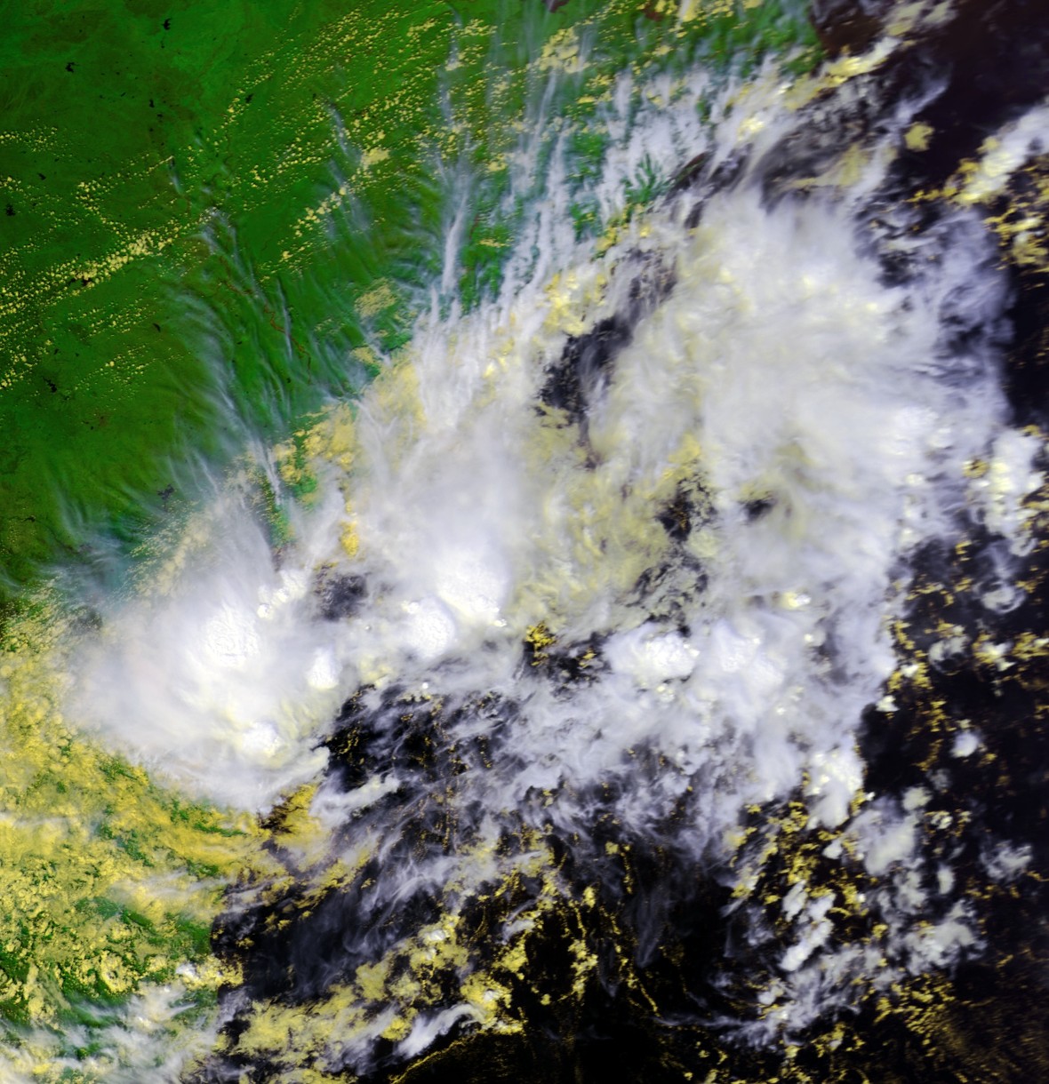
| Description | Satellite image of a tropical depression in the Bay of Bengal from October 25 at 0838 UTC. Maximum sustained winds were about 35 mph at the time. | |||
| Date | ||||
| Source | Inventory ID:2577737, Dataset Name:NSS.LHRR.NL.D02298.S0838.E0849.B1077676.GC | |||
| Author | NOAA / Satellite and Information Service | |||
| Permission (Reusing this file) |
|
File history
Click on a date/time to view the file as it appeared at that time.
| Date/Time | Thumbnail | Dimensions | User | Comment | |
|---|---|---|---|---|---|
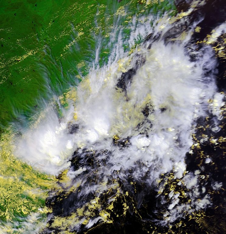
| current | 01:51, 8 February 2007 | | 1,180 × 1,220 (370 KB) | Good kitty | == Summary == {{Information |Description=Satellite image of a tropical depression in the Bay of Bengal from October 25 at 0838 UTC. Maximum sustained winds were about 35 mph at the time. |Source=http://www.class.noaa.gov/</br> Inventory ID:2577737, Datas |
File usage
The following pages on the English Wikipedia use this file (pages on other projects are not listed):
Global file usage
The following other wikis use this file:
- Usage on zh.wikipedia.org