
File:Trinidad and Tobago adm location map.svg

Original file (SVG file, nominally 780 × 756 pixels, file size: 36 KB)
| This is a file from the Wikimedia Commons. Information from its description page there is shown below. Commons is a freely licensed media file repository. You can help. |
Summary
| Description |
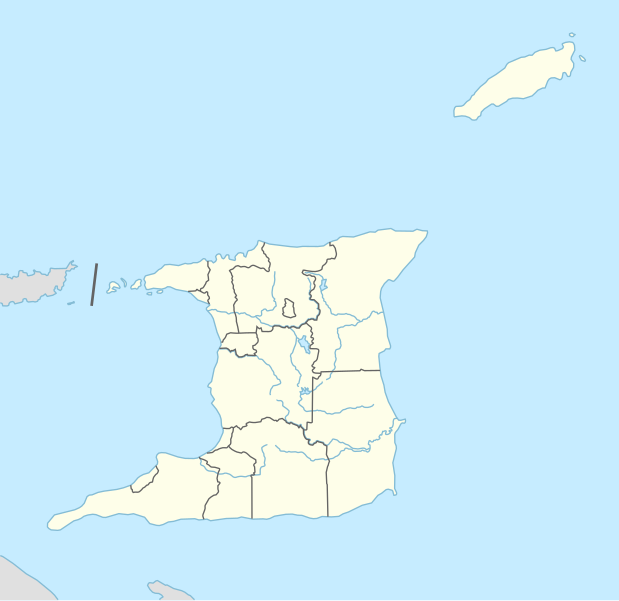
Deutsch: Positionskarte von Trinidad und Tobago
English: Location map of Trinidad and Tobago
|
||||||||||||
| Date | |||||||||||||
| Source |
Own work using:
|
||||||||||||
| Author | NordNordWest | ||||||||||||
| Other versions |
|
||||||||||||


|
This map has been made or improved in the German Kartenwerkstatt (Map Lab). You can propose maps to improve as well.
|
Licensing
Usage of this file with:

explanatory notes: Legally binding is only the full legalcode. For a free usage I recommend to respect the following licence conditions:
1. Provide my name as given above: NordNordWest,
2. a copy of, or the URI for, the applicable license: https://creativecommons.org/licenses/by-sa/3.0/de/legalcode,
3. the title of the work,
4. in the case of an adaptation, a credit identifying the use of the work in the adaptation.
This license and the rights granted hereunder will terminate automatically upon any breach by you of the terms of this license. Any of the above conditions can be waived if you get permission from the copyright holder. If you have questions or wish differing conditions, please contact me through nnwest or my discussion page ![]() t-online.de
t-online.de
- You are free:
- to share – to copy, distribute and transmit the work
- to remix – to adapt the work
- Under the following conditions:
- attribution – You must give appropriate credit, provide a link to the license, and indicate if changes were made. You may do so in any reasonable manner, but not in any way that suggests the licensor endorses you or your use.
- share alike – If you remix, transform, or build upon the material, you must distribute your contributions under the same or compatible license as the original.

File history
Click on a date/time to view the file as it appeared at that time.
| Date/Time | Thumbnail | Dimensions | User | Comment | |
|---|---|---|---|---|---|
| current | 20:31, 27 January 2016 | | 780 × 756 (36 KB) | NordNordWest | == {{int:filedesc}} == {{Information |Description= {{de|1=Positionskarte von Trinidad und Tobago}} {{en|1=Location map of Trinidad and Tobago}} {{Location map series N |stretching=– |top=11.45 |bottom=9.85 |left=-62.05 |right=-60.4 }} |Source={{Own u... |
File usage
- 1971 CONCACAF Championship
- 2001 FIFA U-17 World Championship
- 2007 TT Pro League
- 2008 TT Pro League
- 2009 TT Pro League
- 2010 FIFA U-17 Women's World Cup
- 2010–11 TT Pro League
- 2011–12 TT Pro League
- 2012–13 TT Pro League
- 2013–14 TT Pro League
- 2014–15 TT Pro League
- 2015–16 TT Pro League
- 2016–17 TT Pro League
- 2017 TT Pro League
- 2017 TT Super League
- 2018 CONCACAF Women's U-20 Championship
- 2018 TT Pro League
- 2019–20 TT Pro League
- 2020 Caribbean Premier League
- 2023 TT Premier Football League
- A.N.R. Robinson International Airport
- Arima
- Arouca, Trinidad and Tobago
- Asa Wright Nature Centre
- Barataria, Trinidad and Tobago
- Barrackpore, Trinidad and Tobago
- Biche
- Bonasse
- Buenos Ayres
- Camden Airstrip
- Carapichaima
- Carlsen Air Force Base
- Carnbee, Trinidad and Tobago
- Cathedral of the Immaculate Conception (Port of Spain)
- Cedar Hill Village
- Chacachacare
- Chaguanas
- Chaguaramas, Trinidad and Tobago
- Claxton Bay
- Couva
- Crown Point, Tobago
- Cunupia
- Debe
- Freeport, Trinidad and Tobago
- Fyzabad
- Gaspar Grande
- Gasparillo Island
- Goat Island (Trinidad and Tobago)
- Good Shepherd Church Tunapuna
- Indian Caribbean Museum of Trinidad and Tobago
- Kelly Village
- L'Anse Mitan
- List of TT Pro League stadiums
- List of cricket grounds in the West Indies
- List of football clubs in Trinidad and Tobago
- Little Tobago
- MV Mahiri
- Mayaro, Trinidad
- Moruga
- Naval Base Trinidad
- Ortoire (village)
- Patos Island (Venezuela)
- Penal
- Piarco
- Piarco International Airport
- Plymouth, Trinidad and Tobago
- Point Fortin
- Port of Spain
- Princes Town
- Rio Claro, Trinidad and Tobago
- Rock Island (Trinidad and Tobago)
- Saint Augustine, Trinidad and Tobago
- Saint James, Trinidad and Tobago
- Saint Joseph, Trinidad and Tobago
- San Fernando, Trinidad and Tobago
- Santa Cruz, Trinidad and Tobago
- Saut d'Eau
- Scarborough, Trinidad and Tobago
- Siparia
- Soldado Rock
- TT Premier Football League
- Temple in the Sea
- The Church of Jesus Christ of Latter-day Saints in the Lesser Antilles
- Trincity
- Tunapuna
- Tunapuna–Piarco
- Waller Air Force Base
- Module:Location map/data/Trinidad and Tobago
- Module:Location map/data/Trinidad and Tobago/doc
Global file usage
The following other wikis use this file:
- Usage on als.wikipedia.org
- Usage on an.wikipedia.org
- Usage on ast.wikipedia.org
- Usage on az.wikipedia.org
- Usage on bn.wikipedia.org
- Usage on de.wikipedia.org
- Port of Spain
- Canaan (Trinidad und Tobago)
- Diego Martin
- Flughafen Piarco
- A. N. R. Robinson International Airport
- Point Fortin
- San Fernando (Trinidad und Tobago)
- U-17-Fußball-Weltmeisterschaft 2001
- Vorlage:Positionskarte Trinidad und Tobago
- Black Rock (Trinidad und Tobago)
- Wikipedia:Kartenwerkstatt/Positionskarten/Nordamerika
- U-17-Fußball-Weltmeisterschaft der Frauen 2010
- Hasely Crawford Stadium
- Dwight Yorke Stadium
- Ato Boldon Stadium
- Larry Gomes Stadium
- Manny Ramjohn Stadium
- Crown Point (Trinidad und Tobago)
- Roxborough (Trinidad und Tobago)
- Castara
- Charlotteville (Trinidad und Tobago)
- Arima (Trinidad und Tobago)
- Marvin Lee Stadium
- Princes Town (Trinidad und Tobago)
- Blanchisseuse
- Chaguaramas (Trinidad und Tobago)
- Tunapuna
- Saint James (Port of Spain)
- St. Augustine (Trinidad und Tobago)
- Curepe
- Chaguanas
- Morvant
- Siparia (Trinidad und Tobago)
- Belmont (Port of Spain)
- Valsayn
- Fyzabad
- Laventille
- San Juan (Trinidad und Tobago)
- Benutzer:TaxonBot/Spielwiese
View more global usage of this file.