
File:Tlumič nárazu.jpg

Size of this preview: 800 × 600 pixels. Other resolutions: 320 × 240 pixels | 640 × 480 pixels | 1,024 × 768 pixels | 1,280 × 960 pixels | 2,048 × 1,536 pixels.
Original file (2,048 × 1,536 pixels, file size: 688 KB, MIME type: image/jpeg)
| This is a file from the Wikimedia Commons. Information from its description page there is shown below. Commons is a freely licensed media file repository. You can help. |
Summary
| Description |
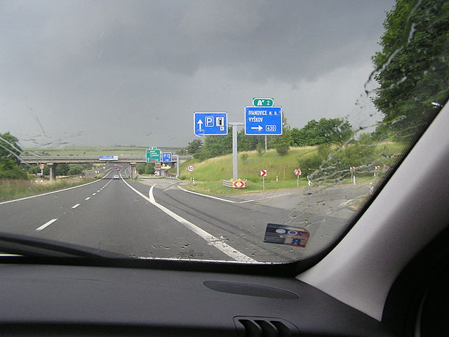
Čeština: Rychlostní silnice R46, mimoúrovňová křižovatka (exit 2) u Vyškova. U sloupu dopravního značení tlumič nárazu.
English: impact absorber
|
||||
| Date | |||||
| Source | Own work | ||||
| Author | Anna Dudíková | ||||
| Permission (Reusing this file) |
|
| Annotations | This image is annotated: View the annotations at Commons |
File history
Click on a date/time to view the file as it appeared at that time.
| Date/Time | Thumbnail | Dimensions | User | Comment | |
|---|---|---|---|---|---|
| current | 20:41, 7 July 2010 | | 2,048 × 1,536 (688 KB) | JAn Dudík | {{Information |Description={{en|1=impact absorber}} {{cs|1=Tlumič nárazu}} |Source={{own}} |Author=JAn |Date=2010-07-06 |Permission= |other_versions= }} Category:Guardrails |
File usage
The following pages on the English Wikipedia use this file (pages on other projects are not listed):
Global file usage
The following other wikis use this file:
- Usage on ca.wikipedia.org
- Usage on cs.wikipedia.org
- Usage on eo.wikipedia.org
- Usage on lmo.wikipedia.org
- Usage on lv.wikipedia.org
- Usage on pt.wikipedia.org
- Usage on sk.wikipedia.org
- Usage on sr.wikipedia.org
- Usage on uk.wikipedia.org
- Usage on www.wikidata.org