
File:Thuringia location map.svg

Size of this PNG preview of this SVG file: 764 × 599 pixels. Other resolutions: 306 × 240 pixels | 612 × 480 pixels | 979 × 768 pixels | 1,280 × 1,004 pixels | 2,560 × 2,009 pixels | 966 × 758 pixels.
Original file (SVG file, nominally 966 × 758 pixels, file size: 161 KB)
| This is a file from the Wikimedia Commons. Information from its description page there is shown below. Commons is a freely licensed media file repository. You can help. |
Summary
| Description |
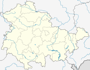
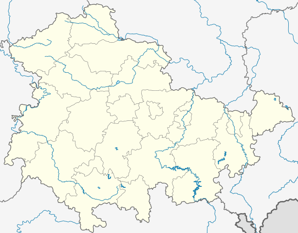
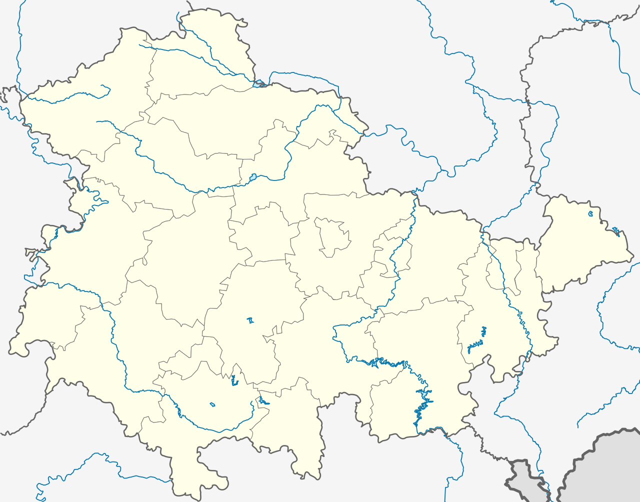
Deutsch: Positionskarte Thüringen, Deutschland. Geographische Begrenzung der Karte:
English: Location map Thuringia, Germany. Geographic limits of the map:
|
|||
| Date | ||||
| Source |
own work, templates were:
|
|||
| Author | TUBS | |||
| Other versions |
Derivative works of this file: Location map of the scope of the Rhein-Main-Verkehrsverbund.svg
|
|||
| SVG development | This map was created with Adobe Illustrator, and with Inkscape.
|


Licensing
I, the copyright holder of this work, hereby publish it under the following licenses:

|
Permission is granted to copy, distribute and/or modify this document under the terms of the GNU Free Documentation License, Version 1.2 or any later version published by the Free Software Foundation; with no Invariant Sections, no Front-Cover Texts, and no Back-Cover Texts. A copy of the license is included in the section entitled GNU Free Documentation License. |
This file is licensed under the Creative Commons Attribution-Share Alike 3.0 Unported, 2.5 Generic, 2.0 Generic and 1.0 Generic license.
- You are free:
- to share – to copy, distribute and transmit the work
- to remix – to adapt the work
- Under the following conditions:
- attribution – You must give appropriate credit, provide a link to the license, and indicate if changes were made. You may do so in any reasonable manner, but not in any way that suggests the licensor endorses you or your use.
- share alike – If you remix, transform, or build upon the material, you must distribute your contributions under the same or compatible license as the original.
You may select the license of your choice.
File history
Click on a date/time to view the file as it appeared at that time.
| Date/Time | Thumbnail | Dimensions | User | Comment | |
|---|---|---|---|---|---|
| current | 19:35, 31 December 2023 | | 966 × 758 (161 KB) | NordNordWest | upd |
| 11:10, 31 December 2022 |  | 966 × 758 (161 KB) | NordNordWest | upd | |
| 17:47, 30 June 2021 |  | 966 × 758 (161 KB) | NordNordWest | upd | |
| 12:08, 30 December 2018 |  | 966 × 758 (162 KB) | NordNordWest | upd 2019 | |
| 18:11, 11 October 2009 |  | 966 × 758 (642 KB) | Alexrk2 | Landesgrenze und vereinzelt Flussläufe korrigiert | |
| 00:44, 31 January 2009 |  | 966 × 758 (670 KB) | TUBS | Improved rivers outside thuringia | |
| 00:09, 29 January 2009 |  | 966 × 758 (732 KB) | TUBS | == Summary == {{Information |Description= {{de|Positionskarte Thüringen, Deutschland. Geographische Begrenzung der Karte:}} {{en|Location map Thuringia, Germany. Geographic limits of the map:}} * N: 50.xx° N * S: 4 | |
| 00:00, 29 January 2009 |  | 966 × 758 (732 KB) | TUBS | == Summary == {{Information |Description= {{de|Positionskarte Thüringen, Deutschland. Geographische Begrenzung der Karte:}} {{en|Location map Thuringia, Germany. Geographic limits of the map:}} * N: 50.xx° N * S: 4 | |
| 23:43, 28 January 2009 |  | 966 × 758 (734 KB) | TUBS | == Summary == {{Information |Description= {{de|Positionskarte Thüringen, Deutschland. Geographische Begrenzung der Karte:}} {{en|Location map Thuringia, Germany. Geographic limits of the map:}} * N: 50.xx° N * S: 4 |
File usage
More than 100 pages use this file. The following list shows the first 100 pages that use this file only. A full list is available.
- Altenburg
- Arenshausen
- Asbach-Sickenberg
- Bad Blankenburg
- Bad Langensalza
- Berlingerode
- Bernterode (bei Heilbad Heiligenstadt)
- Bernterode (bei Worbis)
- Birkenfelde
- Bischofferode
- Bockelnhagen
- Bodenrode-Westhausen
- Bornhagen
- Brehme, Germany
- Breitenworbis
- Buhla
- Burgwalde
- Crawinkel
- Deuna
- Dieterode
- Dietzenrode-Vatterode
- Dingelstädt
- Ecklingerode
- Eichstruth
- Eisenach
- Erfurt
- Erfurt school massacre
- Ferna
- Freienhagen, Thuringia
- Fretterode
- Geisleden
- Geismar
- Gera
- Gerbershausen
- Gernrode, Thuringia
- Gerterode
- Glasehausen
- Gotha
- Grimmelshausen
- Großbodungen
- Hausen, Thuringia
- Haynrode
- Heilbad Heiligenstadt
- Helmsdorf, Thuringia
- Heuthen
- Hohengandern
- Hohes Kreuz
- Holungen
- Hundeshagen
- Jena
- Jützenbach
- Kallmerode
- Kefferhausen
- Kella, Thuringia
- Kirchgandern
- Kirchworbis
- Kleinbartloff
- Kreuzebra
- Krombach, Thuringia
- Leinefelde-Worbis
- Lenterode
- Lindewerra
- Lutter, Thuringia
- Mackenrode, Thuringia
- Marth, Thuringia
- Mittelbau-Dora concentration camp
- Moxa, Thuringia
- Neustadt, Eichsfeld
- Niederorschel
- Nordhausen, Thuringia
- Pfaffschwende
- Reinholterode
- Rohrberg, Thuringia
- Rustenfelde
- Röhrig
- Saalfeld
- Schachtebich
- Schimberg
- Schwobfeld
- Schönhagen, Thuringia
- Sickerode
- Silberhausen
- Silkerode
- Steinbach, Eichsfeld
- Steinheuterode
- Steinrode
- Stöckey
- Suhl
- Tastungen
- Teistungen
- Thalwenden
- Vogelsberg, Thuringia
- Volkerode
- Vollenborn
- Wahlhausen
- Wartburg
- Wehnde
- Weimar
- Weißenborn-Lüderode
- Wiesenfeld, Eichsfeld
View more links to this file.
Global file usage
The following other wikis use this file:
- Usage on ar.wikipedia.org
- Usage on azb.wikipedia.org
- Usage on ba.wikipedia.org
- Абтсбессинген
- Айзенах
- Айзенберг (Тюрингия)
- Айнеборн
- Айнхаузен (Тюрингия)
- Айсфельд
- Айхенберг (Йена)
- Айхенберг (Хильдбургхаузен)
- Айхструт
- Аллендорф (Тюрингия)
- Альберсдорф (Тюрингия)
- Алькерслебен
- Альперштедт
- Альтенберга
- Альтенбойтен
- Альтенбург
- Альтенготтерн
- Альтенфельд
- Альтерсбах
- Альткирхен
- Альштедт
- Ангельрода
- Анденхаузен
- Андислебен
- Анроде
- Апольда
- Апфельштедт
- Аренсхаузен
- Арнсгеройт
- Арнштадт
- Артерн (Унструт)
- Асбах-Зикенберг
- Аспах (Тюрингия)
- Аулебен
- Аума
- Ауэнгрунд
- Ауэрштедт
- Ашенхаузен
- Бёлен (Тюрингия)
- Бёслебен-Вюллерслебен
- Бад-Берка
- Бад-Бланкенбург
- Бад-Зальцунген
- Бад-Зульца
View more global usage of this file.