
File:Thenmala dam.jpg
No higher resolution available.
Thenmala_dam.jpg (500 × 336 pixels, file size: 49 KB, MIME type: image/jpeg)
| This is a file from the Wikimedia Commons. Information from its description page there is shown below. Commons is a freely licensed media file repository. You can help. |
Summary
| Description |
This file was uploaded with Commonist. |
| Date | |
| Source | Own work |
| Author | Kannanshanmugam,shanmugamstudio,Kollam |
| Camera location | | View this and other nearby images on: OpenStreetMap |
|---|
Licensing
This file is licensed under the Creative Commons Attribution 3.0 Unported license.
- You are free:
- to share – to copy, distribute and transmit the work
- to remix – to adapt the work
- Under the following conditions:
- attribution – You must give appropriate credit, provide a link to the license, and indicate if changes were made. You may do so in any reasonable manner, but not in any way that suggests the licensor endorses you or your use.
File history
Click on a date/time to view the file as it appeared at that time.
| Date/Time | Thumbnail | Dimensions | User | Comment | |
|---|---|---|---|---|---|
| current | 03:08, 13 January 2012 | | 500 × 336 (49 KB) | Fotokannan | |
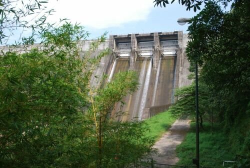
| 13:35, 15 December 2007 |  | 800 × 600 (109 KB) | Challiyan | {{Information |Description= Thenmala Parappara dam of the Kallada hydel project |Source=[http://www.flickr.com/photos/61716902@N00/161700022/ More of Dam] |Date=July 02, 2006 at 03:02 |Author=[http://www.flickr.com/people/61716902@N00 Mohan K] from Singa |
File usage
The following pages on the English Wikipedia use this file (pages on other projects are not listed):
Global file usage
The following other wikis use this file:
- Usage on en.wikivoyage.org
- Usage on fr.wikipedia.org
- Usage on ml.wikipedia.org
- Usage on new.wikipedia.org
- Usage on ta.wikipedia.org
- Usage on te.wikipedia.org
- Usage on www.wikidata.org