
File:Temple Druid - geograph.org.uk - 745385.jpg
No higher resolution available.
Temple_Druid_-_geograph.org.uk_-_745385.jpg (640 × 476 pixels, file size: 91 KB, MIME type: image/jpeg)
| This is a file from the Wikimedia Commons. Information from its description page there is shown below. Commons is a freely licensed media file repository. You can help. |
Summary
| Description |
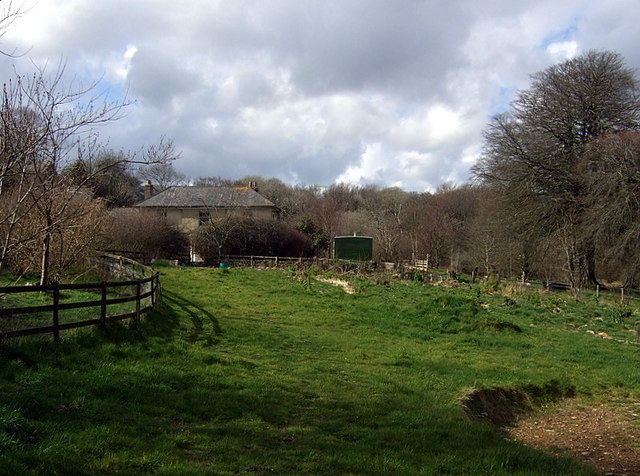
English: Temple Druid This is the third house on this site. There was an original farmhouse called Bwlch-y-clawdd that was demolished for the construction of a gentleman's hunting lodge in 1795. The famous architect John Nash was engaged to design it, according to Richard Fenton "on a elegant plan, finished and furnished to accommodate itself to the tastes and habits of its first late modern possessors, accustomed to fashionable life". Nash gave it a grand stone staircase and other splendid features but it passed through a succession of owners before being partially dismantled in 1824 and rebuilt.
During WW2 it was taken over by the writer Leo Walmsley who took in evacuees and others in need of refuge (including the novelist Nevil Shute), and wrote about the place, as Druid's Castle, in his book 'Happy Ending'. In the same spirit, the mansion's latest function is as a therapeutic retreat for those who have suffered trauma, see http://www.dandeliontrust.org/projects/temple_druid.html |
| Date | |
| Source | From geograph.org.uk |
| Author | ceridwen |
| Attribution (required by the license) | ceridwen / Temple Druid / |
| Camera location | | View this and other nearby images on: OpenStreetMap |
|---|
_heading:315.00&language=en)
| Object location | | View this and other nearby images on: OpenStreetMap |
|---|
_heading:315.00&language=en)
Licensing

|
This image was taken from the Geograph project collection. See this photograph's page on the Geograph website for the photographer's contact details. The copyright on this image is owned by ceridwen and is licensed for reuse under the Creative Commons Attribution-ShareAlike 2.0 license.
|
This file is licensed under the Creative Commons Attribution-Share Alike 2.0 Generic license.
Attribution: ceridwen
- You are free:
- to share – to copy, distribute and transmit the work
- to remix – to adapt the work
- Under the following conditions:
- attribution – You must give appropriate credit, provide a link to the license, and indicate if changes were made. You may do so in any reasonable manner, but not in any way that suggests the licensor endorses you or your use.
- share alike – If you remix, transform, or build upon the material, you must distribute your contributions under the same or compatible license as the original.
File history
Click on a date/time to view the file as it appeared at that time.
| Date/Time | Thumbnail | Dimensions | User | Comment | |
|---|---|---|---|---|---|
| current | 12:45, 19 February 2011 | | 640 × 476 (91 KB) | GeographBot | == {{int:filedesc}} == {{Information |description={{en|1=Temple Druid This is the third house on this site. There was an original farmhouse called Bwlch-y-clawdd that was demolished for the construction of a gentleman's hunting lodge in 1795. The famous a |
File usage
The following pages on the English Wikipedia use this file (pages on other projects are not listed):
Global file usage
The following other wikis use this file:
- Usage on www.wikidata.org