
File:Taarnby (Amager).JPG

Size of this preview: 800 × 591 pixels. Other resolutions: 320 × 237 pixels | 640 × 473 pixels | 1,024 × 757 pixels | 1,280 × 946 pixels | 2,765 × 2,044 pixels.
Original file (2,765 × 2,044 pixels, file size: 1.62 MB, MIME type: image/jpeg)
| This is a file from the Wikimedia Commons. Information from its description page there is shown below. Commons is a freely licensed media file repository. You can help. |
.JPG)
Summary
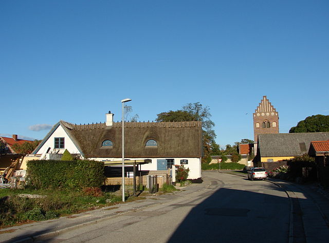
| Description | Tårnby, Amager ø ved København |
| Date | |
| Source | Own work |
| Author | Orf3us |
| Camera location | | View this and other nearby images on: OpenStreetMap |
|---|
.JPG¶ms=055.627740_N_0012.600200_E_globe:Earth_type:camera__&language=en)
Licensing
| I, the copyright holder of this work, release this work into the public domain. This applies worldwide. In some countries this may not be legally possible; if so: I grant anyone the right to use this work for any purpose, without any conditions, unless such conditions are required by law. |
File history
Click on a date/time to view the file as it appeared at that time.
| Date/Time | Thumbnail | Dimensions | User | Comment | |
|---|---|---|---|---|---|
| current | 18:26, 3 October 2013 | | 2,765 × 2,044 (1.62 MB) | Orf3us | {{Information |Description=Tårnby, Amager ø ved København |Source={{own}} |Date=2013-09 |Author=Orf3us |Permission= |other_versions= }} Category:Tårnby |
File usage
The following pages on the English Wikipedia use this file (pages on other projects are not listed):
Global file usage
The following other wikis use this file:
- Usage on be.wikipedia.org
- Usage on cs.wikipedia.org
- Usage on da.wikipedia.org
- Usage on www.wikidata.org
- Usage on zh.wikipedia.org
.JPG)