
File:TR Izmir asv2020-02 img63 Folkart Towers.jpg
Size of this preview: 600 × 600 pixels. Other resolutions: 240 × 240 pixels | 480 × 480 pixels | 768 × 768 pixels | 1,024 × 1,024 pixels | 2,048 × 2,048 pixels | 4,463 × 4,463 pixels.
Original file (4,463 × 4,463 pixels, file size: 12.6 MB, MIME type: image/jpeg)
| This is a file from the Wikimedia Commons. Information from its description page there is shown below. Commons is a freely licensed media file repository. You can help. |
Summary
| Description |
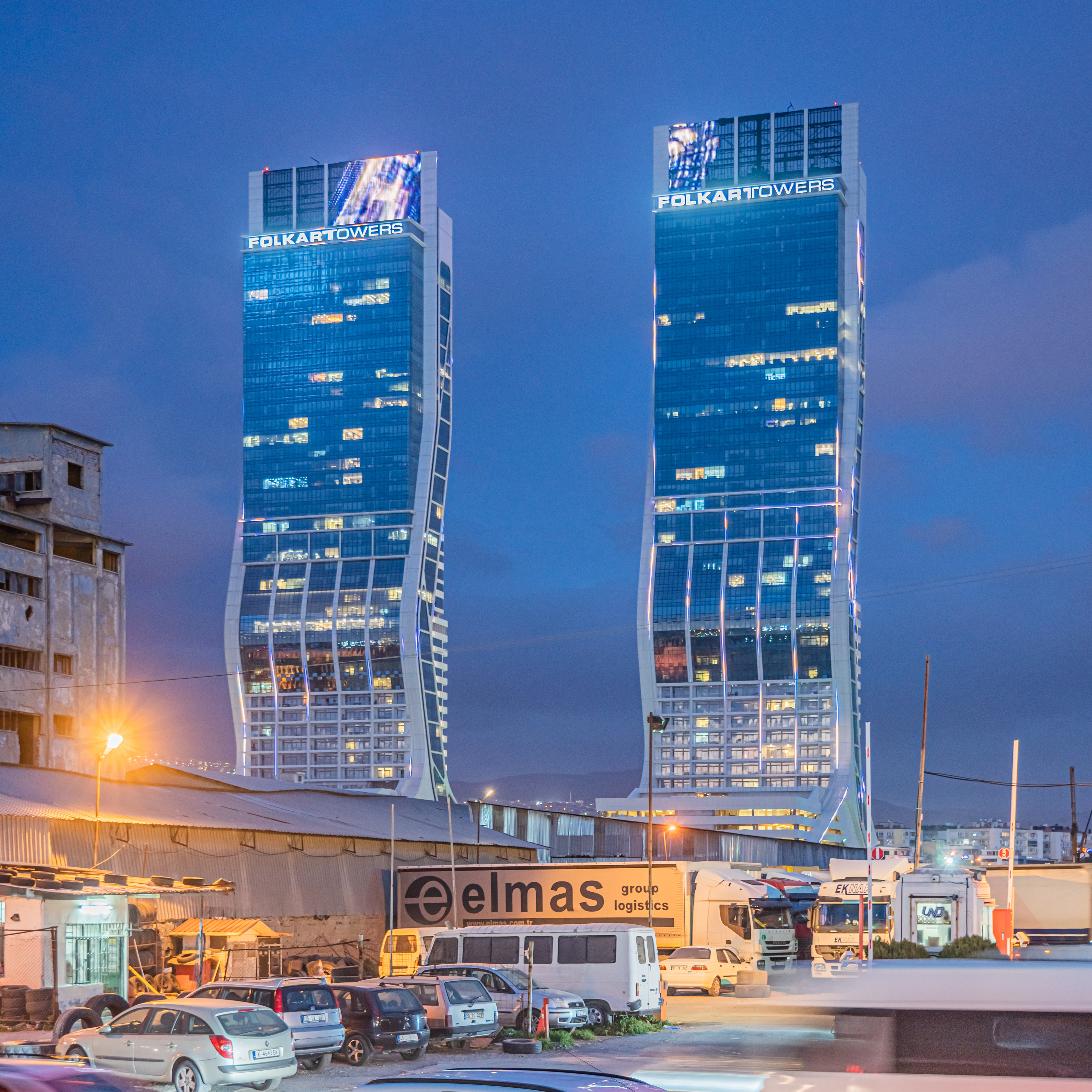
English: Folkart Towers in Izmir, Turkey
Русский: Небоскрёбы Фолкарт-Тауэрс в Измире, Турция |
||
| Date | |||
| Source | Own work | ||
| Author | A.Savin | ||
| Permission (Reusing this file) |
.svg) Just attribute the author: «A.Savin, Wikipedia»; if you have questions — Telegram, or e-mail to wikiphotospace@gmail.com..svg) Просто укажите в качестве автора: «А.Савин, Википедия»; если есть вопрос — телеграм, или эл.почта на wikiphotospace@gmail.com. Kennzeichnen Sie einfach als Autor: «A.Savin, Wikipedia»; falls Sie Fragen haben — Telegram, oder E-Mail an wikiphotospace@gmail.com.
Thank you.
|
| Camera location | | View this and other nearby images on: OpenStreetMap |
|---|
| Object location | | View this and other nearby images on: OpenStreetMap |
|---|
.jpg)
Licensing
| Copyleft: This work of art is free; you can redistribute it and/or modify it according to terms of the Free Art License. You will find a specimen of this license on the Copyleft Attitude site as well as on other sites. |
File history
Click on a date/time to view the file as it appeared at that time.
| Date/Time | Thumbnail | Dimensions | User | Comment | |
|---|---|---|---|---|---|
| current | 04:38, 29 October 2020 | | 4,463 × 4,463 (12.6 MB) | A.Savin | {{User:A.Savin/F|L=1 |Description= {{en|Folkart Towers in Izmir, Turkey}} {{ru|Небоскрёбы Фолкарт-Тауэрс в Измире, Турция}} |Year=2020 |Country=Turkey |Month=02 |Day=12}} {{Location|38|27|2.1|N|27|10|20.9|E|region:TR-35}} {{Object location|38|27|15|N|27|10|37|E|region:TR-35}} Category:Taken with Sony ILCE-7RM3 Category:Taken with Sony FE 24-105mm F4 G OSS Category:2020 in İzmir Category:Folkart Towers Category:Night in İzmir Category:Blue hour in Turkey |
File usage
No pages on the English Wikipedia use this file (pages on other projects are not listed).
Global file usage
The following other wikis use this file:
- Usage on it.wikipedia.org
- Usage on ku.wikipedia.org
- Usage on ml.wikipedia.org
- Usage on ru.wikipedia.org
- Usage on tr.wikipedia.org
- Usage on vi.wikipedia.org
- Usage on www.wikidata.org