
File:TKI airport map.PNG

Size of this preview: 390 × 599 pixels. Other resolutions: 156 × 240 pixels | 516 × 792 pixels.
Original file (516 × 792 pixels, file size: 45 KB, MIME type: image/png)
| This is a file from the Wikimedia Commons. Information from its description page there is shown below. Commons is a freely licensed media file repository. You can help. |
Summary
| Description |
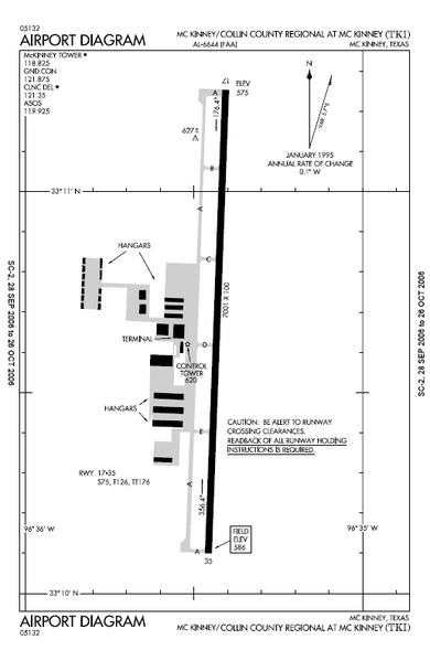
English: Airport map Collin County Regional Airport
commons:category:Collin County Regional Airport commons:category:Federal Aviation Administration commons:category:Maps |
| Date | 28 October 2006 (original upload date) |
| Source | Transferred from en.wikipedia by SreeBot |
| Author | MJHankel at en.wikipedia |
Licensing
This image or file is a work of a Federal Aviation Administration employee, taken or made as part of that person's official duties. As a work of the U.S. federal government, the image is in the public domain in the United States.
|
 |
Original upload log
The original description page was here. All following user names refer to en.wikipedia.
Upload date | User | Bytes | Dimensions | Comment
- 2006-10-28 01:29 (UTC) | MJHankel | 45843 (bytes) | 516×792 | Airport map Collin County Regional Airport {{PD-USGov-FAA}}

File history
Click on a date/time to view the file as it appeared at that time.
| Date/Time | Thumbnail | Dimensions | User | Comment | |
|---|---|---|---|---|---|
| current | 07:14, 18 September 2011 | | 516 × 792 (45 KB) | SreeBot | (Original text) : Airport map Collin County Regional Airport {{PD-USGov-FAA}} |
File usage
The following pages on the English Wikipedia use this file (pages on other projects are not listed):
Global file usage
The following other wikis use this file:
- Usage on ceb.wikipedia.org
- Usage on fa.wikipedia.org
- Usage on tg.wikipedia.org
- Usage on ur.wikipedia.org
- Usage on www.wikidata.org