
File:Still Fork from Arrow Road Bridge001.jpg
Size of this preview: 800 × 541 pixels. Other resolutions: 320 × 216 pixels | 640 × 433 pixels | 1,024 × 693 pixels | 1,280 × 866 pixels | 2,560 × 1,731 pixels | 3,936 × 2,662 pixels.
Original file (3,936 × 2,662 pixels, file size: 3.25 MB, MIME type: image/jpeg)
| This is a file from the Wikimedia Commons. Information from its description page there is shown below. Commons is a freely licensed media file repository. You can help. |
Summary
| Description | |
| Date | Taken on 18 August 2010 |
| Source | Own work |
| Author | Roseohioresident |
| Camera location | | View this and other nearby images on: OpenStreetMap |
|---|
Licensing
| I, the copyright holder of this work, release this work into the public domain. This applies worldwide. In some countries this may not be legally possible; if so: I grant anyone the right to use this work for any purpose, without any conditions, unless such conditions are required by law. |
File history
Click on a date/time to view the file as it appeared at that time.
| Date/Time | Thumbnail | Dimensions | User | Comment | |
|---|---|---|---|---|---|
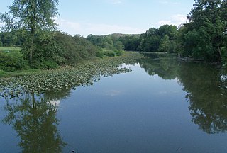
| current | 20:31, 19 August 2010 | 3,936 × 2,662 (3.25 MB) | Roseohioresident | {{Information |Description={{en|1=en:Still Fork near en:Minerva, Ohio}} |Source={{own}} |Author=Roseohioresident |Date=2010-08-18 |Permission= |other_versions= }} {{Location|40|42|49|N|81|06|06|W|name=Still Fork near Mi |
File usage
The following pages on the English Wikipedia use this file (pages on other projects are not listed):
Global file usage
The following other wikis use this file:
- Usage on www.wikidata.org