
File:St. Giles Circus, London – Map, December 2016, zoom 17.png
No higher resolution available.
St._Giles_Circus,_London_–_Map,_December_2016,_zoom_17.png (512 × 532 pixels, file size: 244 KB, MIME type: image/png)
| This is a file from the Wikimedia Commons. Information from its description page there is shown below. Commons is a freely licensed media file repository. You can help. |
Summary
| Description |
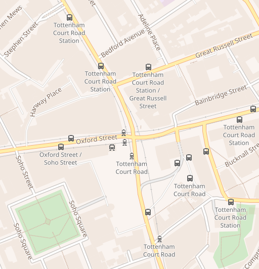
English: Map from maps.wikimedia.org of St Giles Circus as of December 2016 at zoom level 17. |
|||||||||
| Date | ||||||||||
| Source | https://maps.wikimedia.org/#17/51.51617/-0.13174 | |||||||||
| Creator |
OpenStreetMap |
|||||||||
| Permission (Reusing this file) |
foundation:Maps Terms of Use § Where does the map data come from? https://www.openstreetmap.org/copyright | |||||||||
| Geotemporal data | ||||||||||
| Bounding box |
|
|||||||||
| Georeferencing | ||||||||||
Licensing
| This work contains information from OpenStreetMap, which is made available under the Open Database License (ODbL).
The ODbL does not require any particular license for maps produced from ODbL data. Prior to 1 August 2020, map tiles produced by the OpenStreetMap Foundation were licensed under the CC-BY-SA-2.0 license. Maps produced by other people may be subject to other licences. |
This file is licensed under the Creative Commons Attribution-Share Alike 4.0 International license.
- You are free:
- to share – to copy, distribute and transmit the work
- to remix – to adapt the work
- Under the following conditions:
- attribution – You must give appropriate credit, provide a link to the license, and indicate if changes were made. You may do so in any reasonable manner, but not in any way that suggests the licensor endorses you or your use.
- share alike – If you remix, transform, or build upon the material, you must distribute your contributions under the same or compatible license as the original.
Original upload log
The original description page was here. All following user names refer to en.wikipedia.
| Date/Time | Dimensions | User | Comment |
|---|---|---|---|
| 2016-12-22 11:03:03 | 512 × 532 | Jdforrester | ==Summary== {{Information |Description = Map from maps.wikimedia.org of [[St Giles Circus]] as of December 2016 at zoom level 17. |Source = https://maps.wikimedia.org/#17/51.51617/-0.13174 |Date = 2016-12-22 |Author = OpenStreetMap |Permission = https:... |
File history
Click on a date/time to view the file as it appeared at that time.
| Date/Time | Thumbnail | Dimensions | User | Comment | |
|---|---|---|---|---|---|
| current | 03:27, 15 December 2018 | | 512 × 532 (244 KB) | I love rpgs | Transferred from en.wikipedia (MTC!) (1.1.0) |
File usage
The following pages on the English Wikipedia use this file (pages on other projects are not listed):