
File:South Cerney Airfield - geograph.org.uk - 288049.jpg
No higher resolution available.
South_Cerney_Airfield_-_geograph.org.uk_-_288049.jpg (640 × 480 pixels, file size: 62 KB, MIME type: image/jpeg)
| This is a file from the Wikimedia Commons. Information from its description page there is shown below. Commons is a freely licensed media file repository. You can help. |
Summary
| Description |
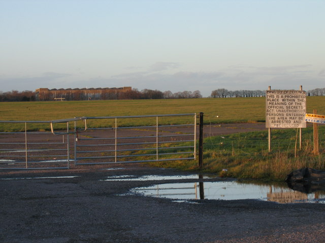
English: South Cerney Airfield South Cerney Airfield is nowadays part of an army base. The field is used for parachuting using light aircraft, and a practice drop zone for Hercules transport aircraft from RAF Lyneham. The Army Parachute team the Silver Stars are based here. |
| Date | |
| Source | From geograph.org.uk |
| Author | Peter Watkins |
| Attribution (required by the license) | Peter Watkins / South Cerney Airfield / |
| Camera location | | View this and other nearby images on: OpenStreetMap |
|---|
_heading:337.00&language=en)
| Object location | | View this and other nearby images on: OpenStreetMap |
|---|
_heading:337.00&language=en)
Licensing

|
This image was taken from the Geograph project collection. See this photograph's page on the Geograph website for the photographer's contact details. The copyright on this image is owned by Peter Watkins and is licensed for reuse under the Creative Commons Attribution-ShareAlike 2.0 license.
|
This file is licensed under the Creative Commons Attribution-Share Alike 2.0 Generic license.
Attribution: Peter Watkins
- You are free:
- to share – to copy, distribute and transmit the work
- to remix – to adapt the work
- Under the following conditions:
- attribution – You must give appropriate credit, provide a link to the license, and indicate if changes were made. You may do so in any reasonable manner, but not in any way that suggests the licensor endorses you or your use.
- share alike – If you remix, transform, or build upon the material, you must distribute your contributions under the same or compatible license as the original.
File history
Click on a date/time to view the file as it appeared at that time.
| Date/Time | Thumbnail | Dimensions | User | Comment | |
|---|---|---|---|---|---|
| current | 20:01, 14 December 2010 | | 640 × 480 (62 KB) | GeographBot | == {{int:filedesc}} == {{Information |description={{en|1=South Cerney Airfield South Cerney Airfield is nowadays part of an army base. The field is used for parachuting using light aircraft, and a practice drop zone for Hercules transport aircraft from RA |
File usage
No pages on the English Wikipedia use this file (pages on other projects are not listed).
Global file usage
The following other wikis use this file:
- Usage on www.wikidata.org