
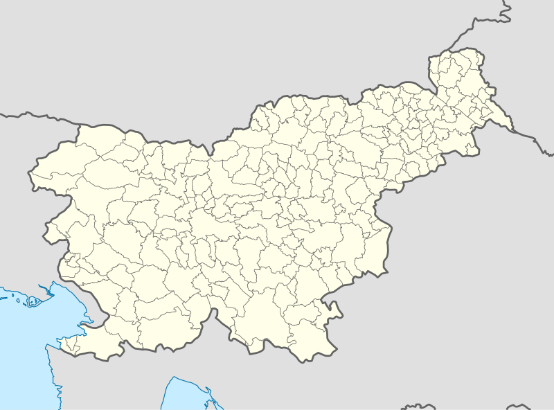
File:Slovenia location map.svg

Size of this PNG preview of this SVG file: 800 × 592 pixels. Other resolutions: 320 × 237 pixels | 640 × 473 pixels | 1,024 × 757 pixels | 1,280 × 946 pixels | 2,560 × 1,893 pixels | 1,159 × 857 pixels.
Original file (SVG file, nominally 1,159 × 857 pixels, file size: 618 KB)
| This is a file from the Wikimedia Commons. Information from its description page there is shown below. Commons is a freely licensed media file repository. You can help. |
Summary
| Description |
Deutsch: Positionskarte von Slowenien
Quadratische Plattkarte, N-S-Streckung 140 %. Geographische Begrenzung der Karte:
English: Location map of Slovenia
Equirectangular projection, N/S stretching 140 %. Geographic limits of the map:
|
| Date | |
| Source |
Own work using:
|
| Author | NordNordWest |
| Other versions |
|
_location_map.svg)


|
This map has been made or improved in the German Kartenwerkstatt (Map Lab). You can propose maps to improve as well.
|
Licensing
I, the copyright holder of this work, hereby publish it under the following licenses:

|
Permission is granted to copy, distribute and/or modify this document under the terms of the GNU Free Documentation License, Version 1.2 or any later version published by the Free Software Foundation; with no Invariant Sections, no Front-Cover Texts, and no Back-Cover Texts. A copy of the license is included in the section entitled GNU Free Documentation License. |
This file is licensed under the Creative Commons Attribution-Share Alike 3.0 Unported license.
- You are free:
- to share – to copy, distribute and transmit the work
- to remix – to adapt the work
- Under the following conditions:
- attribution – You must give appropriate credit, provide a link to the license, and indicate if changes were made. You may do so in any reasonable manner, but not in any way that suggests the licensor endorses you or your use.
- share alike – If you remix, transform, or build upon the material, you must distribute your contributions under the same or compatible license as the original.
You may select the license of your choice.
File history
Click on a date/time to view the file as it appeared at that time.
| Date/Time | Thumbnail | Dimensions | User | Comment | |
|---|---|---|---|---|---|
| current | 19:51, 8 October 2013 | | 1,159 × 857 (618 KB) | NordNordWest | upd |
| 09:04, 2 September 2008 |  | 1,160 × 859 (61 KB) | NordNordWest | ||
| 19:06, 15 July 2008 |  | 290 × 215 (46 KB) | NordNordWest | {{Information |Description= {{de|Positionskarte von Slowenien}} Quadratische Plattkarte, N-S-Streckung 140 %. Geographische Begrenzung der Karte: * N: 47.1° N * S: 45.2° N * W: 13.2° O * O: 16.8° O {{en|Location map of [[:en:Slovenia |
File usage
More than 100 pages use this file. The following list shows the first 100 pages that use this file only. A full list is available.
- 2004 European Men's Handball Championship
- Ajdovščina
- Battle of Poljana
- Begunje na Gorenjskem
- Beltinci
- Bistrica ob Sotli
- Bled
- Bleiburg repatriations
- Bovec
- Braslovče
- Brestanica
- Brežice
- Brunšvik
- Celje
- Cerknica
- Cerkno
- Cvetkovci
- Divača
- Domžale
- Dovje
- Dravograd
- Emona
- Gaberke
- Geometric centre of Slovenia
- Gornja Radgona
- Grosuplje
- Hrastnik
- Idrija
- Ivančna Gorica
- Izola
- Jesenice
- Juršinci
- Kamnik
- Kanal, Kanal
- Kidričevo
- Kobarid
- Komen
- Komenda
- Koper
- Kočevje
- Kranj
- Kranjska Gora
- Krško
- Laško
- Lendava
- Lesce
- Lipica, Sežana
- List of top-division football clubs in UEFA countries
- Litija
- Ljubljana Airport
- Ljutomer
- Maribor
- Maribor Edvard Rusjan Airport
- Mengeš
- Mežica
- Murska Sobota
- Naklo, Naklo
- Nova Gorica
- Novo Mesto
- Ormož
- Piran
- Pivka
- Podbrezje
- Podsreda
- Poljčane
- Portorož
- Portorož Airport
- Postojna
- Prebold
- Prevalje
- Ptuj
- Radeče
- Radovljica
- Ravne na Koroškem
- Ribnica, Ribnica
- Rogaška Slatina
- Ruše
- Sevnica
- Sežana
- Slovenj Gradec
- Slovenska Bistrica
- Slovenske Konjice
- Tolmin
- Trbovlje
- Trojane
- Tržič
- Ustje
- Velenje
- Velike Lašče
- Vipava, Vipava
- Vodice, Vodice
- Vrba, Žirovnica
- Vrhnika
- Vuzenica
- Zagorje ob Savi
- Črna na Koroškem
- Črneče
- Črnomelj
- Šentjur
- Šmarje pri Jelšah
View more links to this file.
Global file usage
The following other wikis use this file:
- Usage on af.wikipedia.org
- Usage on als.wikipedia.org
- Usage on an.wikipedia.org
- Usage on ar.wikipedia.org
- Usage on ast.wikipedia.org
- Usage on az.wikipedia.org
View more global usage of this file.