
File:Sinja Valley, Karnali.jpg

Size of this preview: 800 × 600 pixels. Other resolutions: 320 × 240 pixels | 640 × 480 pixels | 1,024 × 768 pixels | 1,280 × 960 pixels | 2,560 × 1,920 pixels | 3,264 × 2,448 pixels.
Original file (3,264 × 2,448 pixels, file size: 3.91 MB, MIME type: image/jpeg)
| This is a file from the Wikimedia Commons. Information from its description page there is shown below. Commons is a freely licensed media file repository. You can help. |
Summary
| Description |
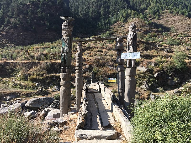
English: The Sinja Valley is located in the Jumla District in Karnali Province, of Nepal.
The valley houses the ancient capital city of the Khasas that ruled this area from the 12th to the 14th Century. Palaces, temples, and the ancient remains of a settlement were uncovered during excavations spearheaded by the Department of Archaeology at Cambridge University. Major finds from the site include a large network of underground pipes that formed a complex water delivery system as well as a ring of massive monolithic stone columns circumscribing the settlement. On the cliffs at the valley edge were found some of the earliest written examples of Nepali language. |
| Date | |
| Source | Own work |
| Author | Punyapaudel |
| Camera location | | View this and other nearby images on: OpenStreetMap |
|---|
Licensing
I, the copyright holder of this work, hereby publish it under the following license:
This file is licensed under the Creative Commons Attribution-Share Alike 4.0 International license.
- You are free:
- to share – to copy, distribute and transmit the work
- to remix – to adapt the work
- Under the following conditions:
- attribution – You must give appropriate credit, provide a link to the license, and indicate if changes were made. You may do so in any reasonable manner, but not in any way that suggests the licensor endorses you or your use.
- share alike – If you remix, transform, or build upon the material, you must distribute your contributions under the same or compatible license as the original.

|
This image was uploaded as part of Wiki Loves Monuments 2018.
|
 |
File history
Click on a date/time to view the file as it appeared at that time.
| Date/Time | Thumbnail | Dimensions | User | Comment | |
|---|---|---|---|---|---|
| current | 01:07, 27 September 2018 | | 3,264 × 2,448 (3.91 MB) | Punyapaudel | User created page with UploadWizard |
File usage
The following pages on the English Wikipedia use this file (pages on other projects are not listed):
Global file usage
The following other wikis use this file:
- Usage on cs.wikipedia.org
- Usage on eu.wikipedia.org
- Usage on ne.wikipedia.org