
File:Seychelles Inner Islands.png
No higher resolution available.
Seychelles_Inner_Islands.png (534 × 431 pixels, file size: 19 KB, MIME type: image/png)
| This is a file from the Wikimedia Commons. Information from its description page there is shown below. Commons is a freely licensed media file repository. You can help. |
| Description | |
| Date | |
| Source | own work based on a public domain map from Demis |
| Author | Radosław Botev |
| Permission (Reusing this file) |
public domain |
This image is in the public domain because it came from the site https://www.demis.nl/products/web-map-server/examples/ and was released by the copyright holder. Permission is granted to copy, distribute and/or modify this map since it is based on free of copyright images from: www.demis.nl. See also approval email on de.wp and its clarification.
|
| This work has been released into the public domain by its copyright holder, www.demis.nl. This applies worldwide. In some countries this may not be legally possible; if so: www.demis.nl grants anyone the right to use this work for any purpose, without any conditions, unless such conditions are required by law.
|
This work is based on a work in the public domain. It has been digitally enhanced and/or modified. This derivative work has been (or is hereby) released into the public domain by its author, Botev. This applies worldwide.
In some countries this may not be legally possible; if so: |
File history
Click on a date/time to view the file as it appeared at that time.
| Date/Time | Thumbnail | Dimensions | User | Comment | |
|---|---|---|---|---|---|
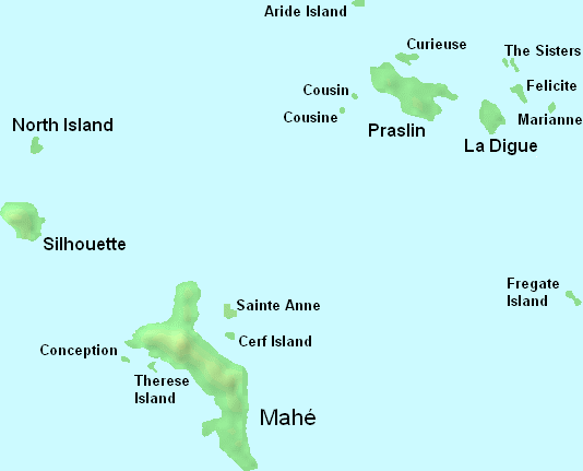
| current | 00:35, 20 May 2008 | | 534 × 431 (19 KB) | Botev | {{Information |Description=Main islands in the Inner Islands group of Seychelles archipelago |Source=own work based on a public domain map from Demis |Date=May 20th, 2008 |Author=Radosław Botev |Permission=public domain |other_ |
File usage
The following pages on the English Wikipedia use this file (pages on other projects are not listed):
Global file usage
The following other wikis use this file:
- Usage on ca.wikipedia.org
- Usage on sr.wikipedia.org
- Usage on www.wikidata.org