
File:Schengen area as a single entity.svg

Size of this PNG preview of this SVG file: 600 × 600 pixels. Other resolutions: 240 × 240 pixels | 480 × 480 pixels | 768 × 768 pixels | 1,024 × 1,024 pixels | 2,048 × 2,048 pixels | 610 × 610 pixels.
Original file (SVG file, nominally 610 × 610 pixels, file size: 843 KB)
| This is a file from the Wikimedia Commons. Information from its description page there is shown below. Commons is a freely licensed media file repository. You can help. |
Summary
| Description |
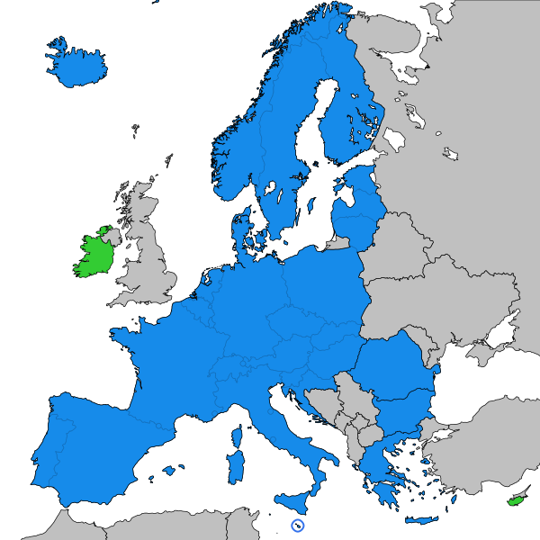
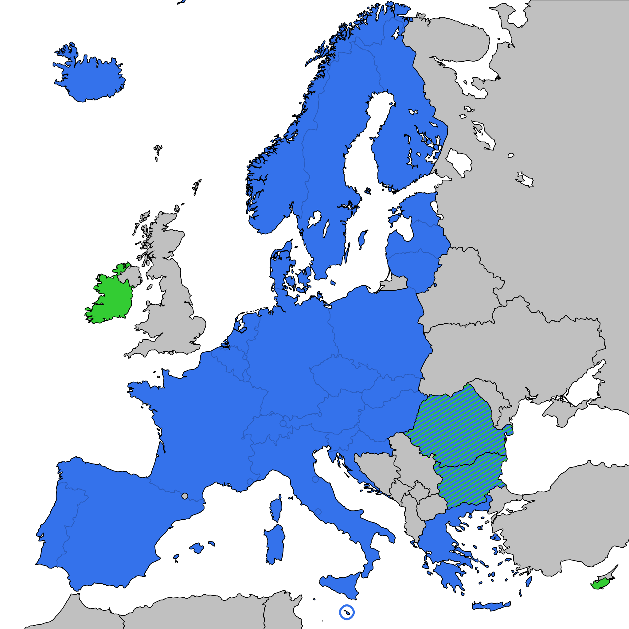
English: Schengen area:
Member states of the Schengen area
Other member states of the European Union Svenska: Schengenområdet:
Medlemsstater inom Schengenområdet
Övriga medlemsstater inom Europeiska unionen |
| Date | |
| Source | Europe-countries-outline-iso-coded-plain.svg |
| Author | Original map created by Mfloryan, modified by Nablicus |
| SVG development |
Licensing
This file is licensed under the Creative Commons Attribution-Share Alike 4.0 International license.
- You are free:
- to share – to copy, distribute and transmit the work
- to remix – to adapt the work
- Under the following conditions:
- attribution – You must give appropriate credit, provide a link to the license, and indicate if changes were made. You may do so in any reasonable manner, but not in any way that suggests the licensor endorses you or your use.
- share alike – If you remix, transform, or build upon the material, you must distribute your contributions under the same or compatible license as the original.
File history
Click on a date/time to view the file as it appeared at that time.
| Date/Time | Thumbnail | Dimensions | User | Comment | |
|---|---|---|---|---|---|
| current | 00:11, 31 March 2024 | | 610 × 610 (843 KB) | Nablicus | update |
| 14:27, 9 September 2023 |  | 610 × 610 (767 KB) | Nablicus | adjustment | |
| 12:19, 31 December 2022 |  | 610 × 610 (767 KB) | Nablicus | update | |
| 15:38, 6 January 2022 |  | 610 × 610 (683 KB) | Nablicus | internal borders visible | |
| 20:25, 22 April 2020 |  | 610 × 610 (388 KB) | Nablicus | new version | |
| 21:01, 29 March 2020 |  | 610 × 610 (391 KB) | Nablicus | new version, going back to the original idea with the map showing the Schengen area as a single entity | |
| 20:29, 20 March 2020 |  | 610 × 610 (545 KB) | Nablicus | update | |
| 17:14, 18 March 2020 |  | 610 × 610 (544 KB) | Nablicus | update | |
| 08:31, 18 March 2020 |  | 610 × 610 (544 KB) | Nablicus | update | |
| 19:28, 17 March 2020 |  | 610 × 610 (543 KB) | Nablicus | update |
File usage
The following pages on the English Wikipedia use this file (pages on other projects are not listed):
Global file usage
The following other wikis use this file:
- Usage on it.wikipedia.org
- Usage on sv.wikipedia.org