
File:Saskatoon-SDA-map.png
Size of this preview: 747 × 599 pixels. Other resolutions: 299 × 240 pixels | 598 × 480 pixels | 957 × 768 pixels | 1,239 × 994 pixels.
Original file (1,239 × 994 pixels, file size: 211 KB, MIME type: image/png)
| This is a file from the Wikimedia Commons. Information from its description page there is shown below. Commons is a freely licensed media file repository. You can help. |
Summary
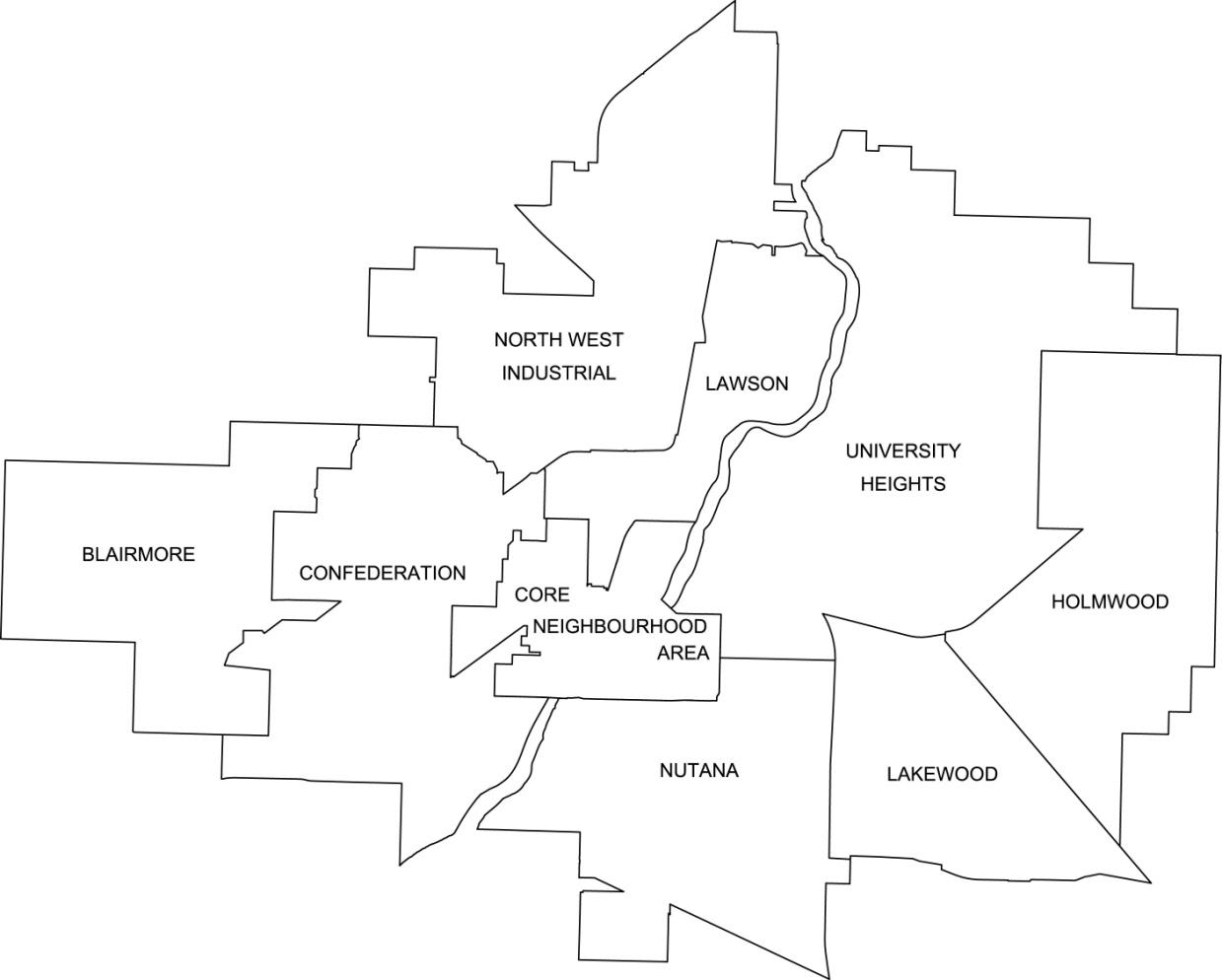
| Description | A map of Saskatoon showing its division by suburban development area (SDA) as of 2012 |
| Source | http://www.saskatoon.ca/DEPARTMENTS/Community%20Services/PlanningDevelopment/Documents/Research/Neighbourhood_profiles/2012/Neighbourhood%20Profiles.pdf |
| Author | City of Saskatoon - Planning & Development Branch |
| Permission (Reusing this file) |
Licensing

|
Permission is granted to copy, distribute and/or modify this document under the terms of the GNU Free Documentation License, Version 1.2 or any later version published by the Free Software Foundation; with no Invariant Sections, no Front-Cover Texts, and no Back-Cover Texts. A copy of the license is included in the section entitled GNU Free Documentation License. |
| This file is licensed under the Creative Commons Attribution-Share Alike 3.0 Unported license. | ||
| ||
| This licensing tag was added to this file as part of the GFDL licensing update. |
File history
Click on a date/time to view the file as it appeared at that time.
| Date/Time | Thumbnail | Dimensions | User | Comment | |
|---|---|---|---|---|---|
| current | 15:57, 14 August 2012 | | 1,239 × 994 (211 KB) | Drm310 | Larger version from http://www.saskatoon.ca/DEPARTMENTS/Community%20Services/PlanningDevelopment/Documents/Research/Neighbourhood_profiles/2012/Neighbourhood%20Profiles.pdf |
| 02:10, 26 November 2007 |  | 1,000 × 750 (114 KB) | Drm310 | {{Information |Description=A map of Saskatoon showing its division by suburban development area (SDA) as of 2007 |Source=http://www.saskatoon.ca/org/city_planning/resources/neighbourhood_demographics/ALLprofiles.pdf |Date= |Author=[http://www.saskatoon.ca |
File usage
The following pages on the English Wikipedia use this file (pages on other projects are not listed):