
File:SC County Map (Greenville and Spartanburg).png
Size of this preview: 771 × 600 pixels. Other resolutions: 309 × 240 pixels | 617 × 480 pixels | 987 × 768 pixels | 1,280 × 996 pixels | 2,560 × 1,992 pixels | 2,892 × 2,250 pixels.
Original file (2,892 × 2,250 pixels, file size: 1.7 MB, MIME type: image/png)
| This is a file from the Wikimedia Commons. Information from its description page there is shown below. Commons is a freely licensed media file repository. You can help. |
.png)
| Description |
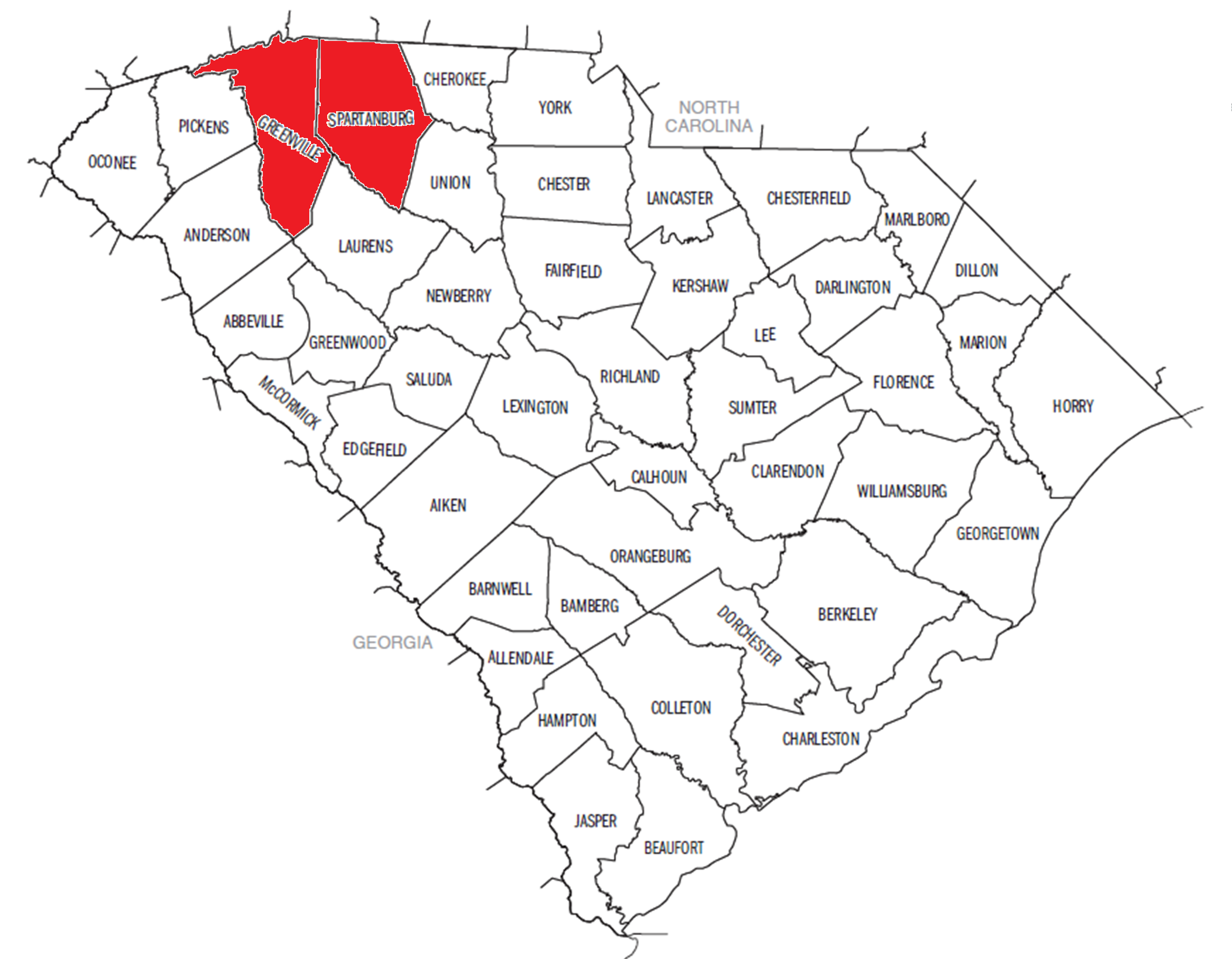
English: The map was created by the United States Census Bureau, I altered the image by highlighting Greenville and Spartanburg Counties in red. |
| Date | 20:39, 29 January 2012 (UTC) |
| Source | census.gov |
| Author | Tstarl0425 |
This image or file is a work of a United States Census Bureau employee, taken or made as part of that person's official duties. As a work of the U.S. federal government, the image is in the public domain.
|
 |
File history
Click on a date/time to view the file as it appeared at that time.
| Date/Time | Thumbnail | Dimensions | User | Comment | |
|---|---|---|---|---|---|
| current | 20:39, 29 January 2012 | | 2,892 × 2,250 (1.7 MB) | Tstarl0425 | {{Information |Description = The map was created by the United States Census Bureau, I altered the image by highlighting Greenville and Spartanburg Counties in red. |Source = census.gov |Date = ~~~~~ |Author = Tstarl0425 |
File usage
No pages on the English Wikipedia use this file (pages on other projects are not listed).
.png)