
File:Rhondda Cynon Taf UK location map.svg

Size of this PNG preview of this SVG file: 416 × 599 pixels. Other resolutions: 166 × 240 pixels | 333 × 480 pixels | 533 × 768 pixels | 711 × 1,024 pixels | 1,422 × 2,048 pixels | 879 × 1,266 pixels.
Original file (SVG file, nominally 879 × 1,266 pixels, file size: 733 KB)
| This is a file from the Wikimedia Commons. Information from its description page there is shown below. Commons is a freely licensed media file repository. You can help. |
| Description |
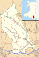
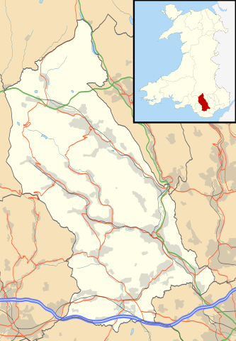
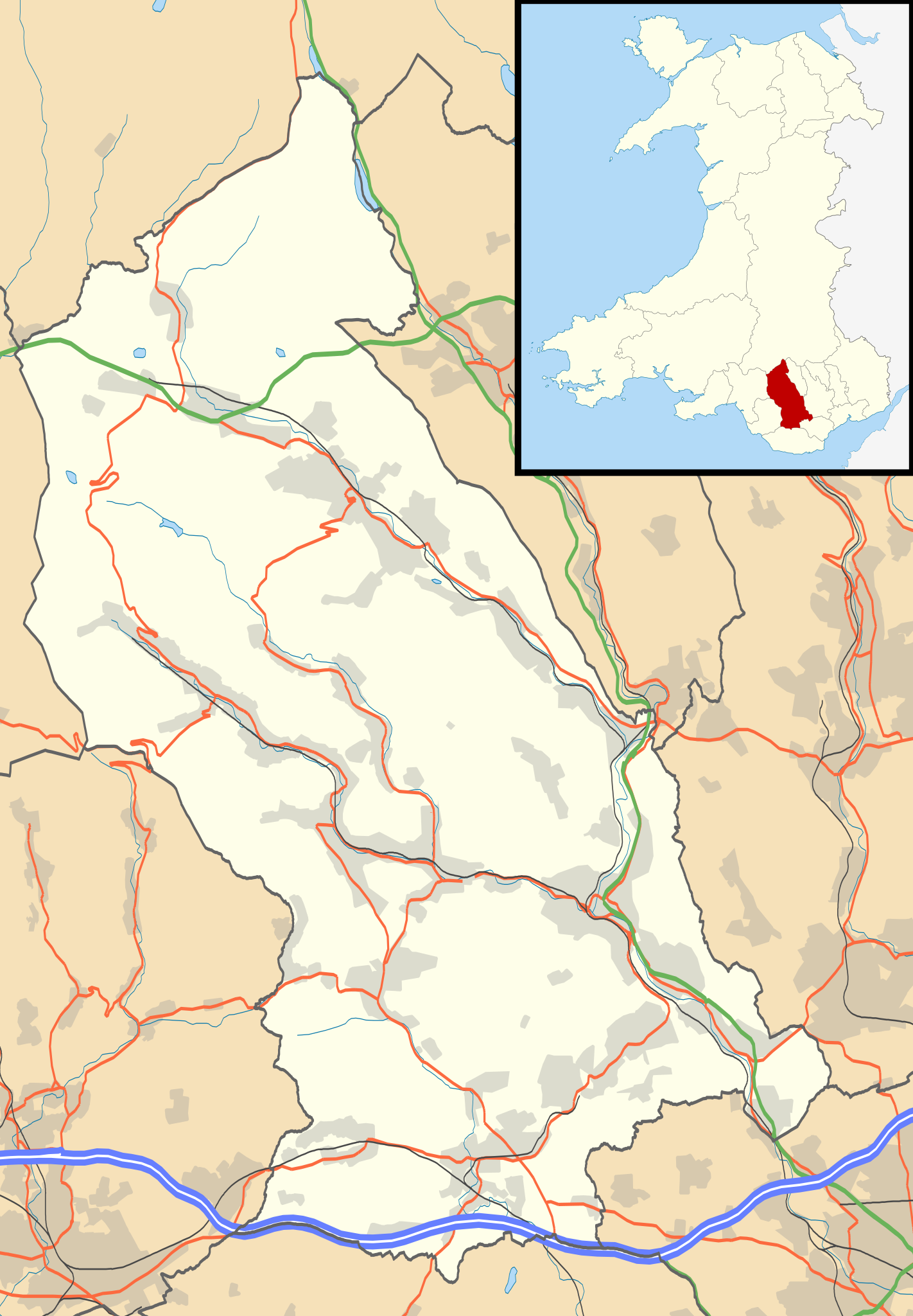
Blank map of Rhondda Cynon Taf, UK with the following information shown:
Equirectangular map projection on WGS 84 datum, with N/S stretched 160% Geographic limits:
|
| Date | |
| Source |
|
| Author | Nilfanion, created using Ordnance Survey data |
| Permission (Reusing this file) |
This file is licensed under the Creative Commons Attribution-Share Alike 3.0 Unported license. Attribution: Contains Ordnance Survey data © Crown copyright and database right
|
| Other versions | File:Rhondda Cynon Taf UK map.svg - Blank map |
File history
Click on a date/time to view the file as it appeared at that time.
| Date/Time | Thumbnail | Dimensions | User | Comment | |
|---|---|---|---|---|---|
| current | 19:41, 26 September 2010 | | 879 × 1,266 (733 KB) | Nilfanion | {{Information |Description=Blank map of Rhondda Cynon Taf, UK with the following information shown: *Administrative borders *Coastline, lakes and rivers *Roads and railways *Urban areas Equirectangular map projection on WGS 84 dat |
File usage
More than 100 pages use this file. The following list shows the first 100 pages that use this file only. A full list is available.
- Aberaman
- Abercwmboi
- Abercynon
- Abercynon Colliery
- Aberdare
- Abernant, Rhondda Cynon Taf
- Beddau
- Blaencwm
- Blaenllechau
- Blaenrhondda
- Brynna
- Brynsadler
- Caegarw
- Castellau
- Cefnpennar
- Church Village
- Cilfynydd
- Clydach Vale
- Coed-Ely
- Coedpenmaen
- Cwmaman
- Cwmbach
- Cwmdare
- Cwmparc
- Cwmpennar
- Cymmer, Rhondda Cynon Taf
- Dewi Sant Hospital
- Dinas Rhondda
- Efail Isaf
- Ferndale, Rhondda Cynon Taf
- Fernhill, Rhondda Cynon Taf
- Gelli, Rhondda
- Gilfach Goch
- Glenboi
- Glyncoch
- Glynfach
- Glyntaff
- Graig, Pontypridd
- Graigwen
- Groes-faen
- Hawthorn, Rhondda Cynon Taf
- Hirwaun
- Hopkinstown
- List of Sites of Special Scientific Interest in Rhondda Cynon Taf
- List of monastic houses in Wales
- Llanharan
- Llanharan House
- Llanharry
- Llantrisant
- Llantwit Fardre
- Llanwonno
- Llwydcoed
- Llwyncelyn, Rhondda Cynon Taf
- Llwynypia
- Maerdy
- Maesycoed
- Miskin
- Mountain Ash, Rhondda Cynon Taf
- Nantgarw
- Penderyn transmitting station
- Penrhiwceiber
- Penrhiwfer
- Penrhys
- Pentre
- Penygraig
- Penywaun
- Pontsionnorton
- Pontyclun
- Pontygwaith, Rhondda Cynon Taf
- Pontypridd
- Porth
- Pwllgwaun
- Rhondda Cynon Taf
- Rhydyfelin
- Royal Glamorgan Hospital
- Stanleytown, Rhondda Cynon Taf
- Taff's Well
- Talbot Green
- Ton Pentre
- Tonteg
- Tonypandy
- Tonyrefail
- Trallwn
- Trealaw
- Trebanog
- Trecynon
- Treforest
- Trehafod
- Treherbert
- Treorchy
- Tylorstown
- Tynewydd, Rhondda Cynon Taf
- Upper Boat
- Upper Boat Studios
- Wattstown
- Williamstown, Rhondda Cynon Taf
- Ynysboeth
- Ynyshir
- Ynysmaerdy
- Ynysybwl
View more links to this file.
Global file usage
The following other wikis use this file:
- Usage on ar.wikipedia.org
- Usage on azb.wikipedia.org
- Usage on ceb.wikipedia.org
- Usage on cy.wikipedia.org
- Usage on es.wikipedia.org
- Aberdare
- Rhondda Cynon Taff
- Wikiproyecto:Ilustración/Taller de Cartografía/Realizaciones/Europa
- Plantilla:Mapa de localización de Rhondda Cynon Taf
- Pontypridd
- Groes-faen
- Mountain Ash
- Glyncoch
- Llantrisant
- Gilfach Goch
- Llanharry
- Fernhill
- Tonyrefail
- Hirwaun
- Ferndale (Gales)
- Efail Isaf
- Brynna (Llanharan)
- Beddau
- Brynsadler
- Abercynon
- Church Village
- Hendreforgan
- Rhigos
- Porth
- Tonypandy
- Taff's Well
- Tylorstown
- Ynysybwl
- Treorchy
- Treherbert
- Usage on fa.wikipedia.org
- Usage on fr.wikipedia.org
- Usage on gd.wikipedia.org
- Usage on gv.wikipedia.org
- Usage on ja.wikipedia.org
- Usage on kn.wikipedia.org
View more global usage of this file.