
File:Rg-2005.jpg
Size of this preview: 701 × 599 pixels. Other resolutions: 281 × 240 pixels | 561 × 480 pixels | 856 × 732 pixels.
Original file (856 × 732 pixels, file size: 145 KB, MIME type: image/jpeg)
| This is a file from the Wikimedia Commons. Information from its description page there is shown below. Commons is a freely licensed media file repository. You can help. |
Summary
| Description |
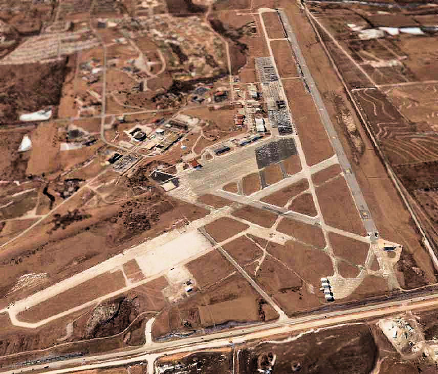
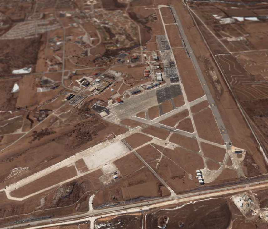
English: A circa 2000-2005 USGS aerial photo looking south at the former Richards-Gebaur AFB, |
| Source | US Geological Survey via http://www.airfields-freeman.com/MO/RichardsGebaur_MO_00_s.jpg |
| Author | USGS |
| Permission (Reusing this file) |
USGOV-PD |
Licensing
This image is in the public domain in the United States because it only contains materials that originally came from the United States Geological Survey, an agency of the United States Department of the Interior. For more information, see the official USGS copyright policy.
|
File history
Click on a date/time to view the file as it appeared at that time.
| Date/Time | Thumbnail | Dimensions | User | Comment | |
|---|---|---|---|---|---|
| current | 13:39, 9 October 2008 | | 856 × 732 (145 KB) | Bwmoll3 | {{Information |Description={{en|1=A circa 2000-2005 USGS aerial photo looking south at the former Richards-Gebaur AFB,}} |Source=US Geological Survey via http://www.airfields-freeman.com/MO/RichardsGebaur_MO_00_s.jpg |Author=USGS |Date= |Permission=USGOV- |
File usage
The following pages on the English Wikipedia use this file (pages on other projects are not listed):
Global file usage
The following other wikis use this file:
- Usage on hu.wikipedia.org