
File:Relief Map of Mediterranean Sea.png
Size of this preview: 800 × 393 pixels. Other resolutions: 320 × 157 pixels | 640 × 315 pixels | 1,024 × 503 pixels | 1,754 × 862 pixels.
Original file (1,754 × 862 pixels, file size: 2.06 MB, MIME type: image/png)
| This is a file from the Wikimedia Commons. Information from its description page there is shown below. Commons is a freely licensed media file repository. You can help. |
Summary
| Description |
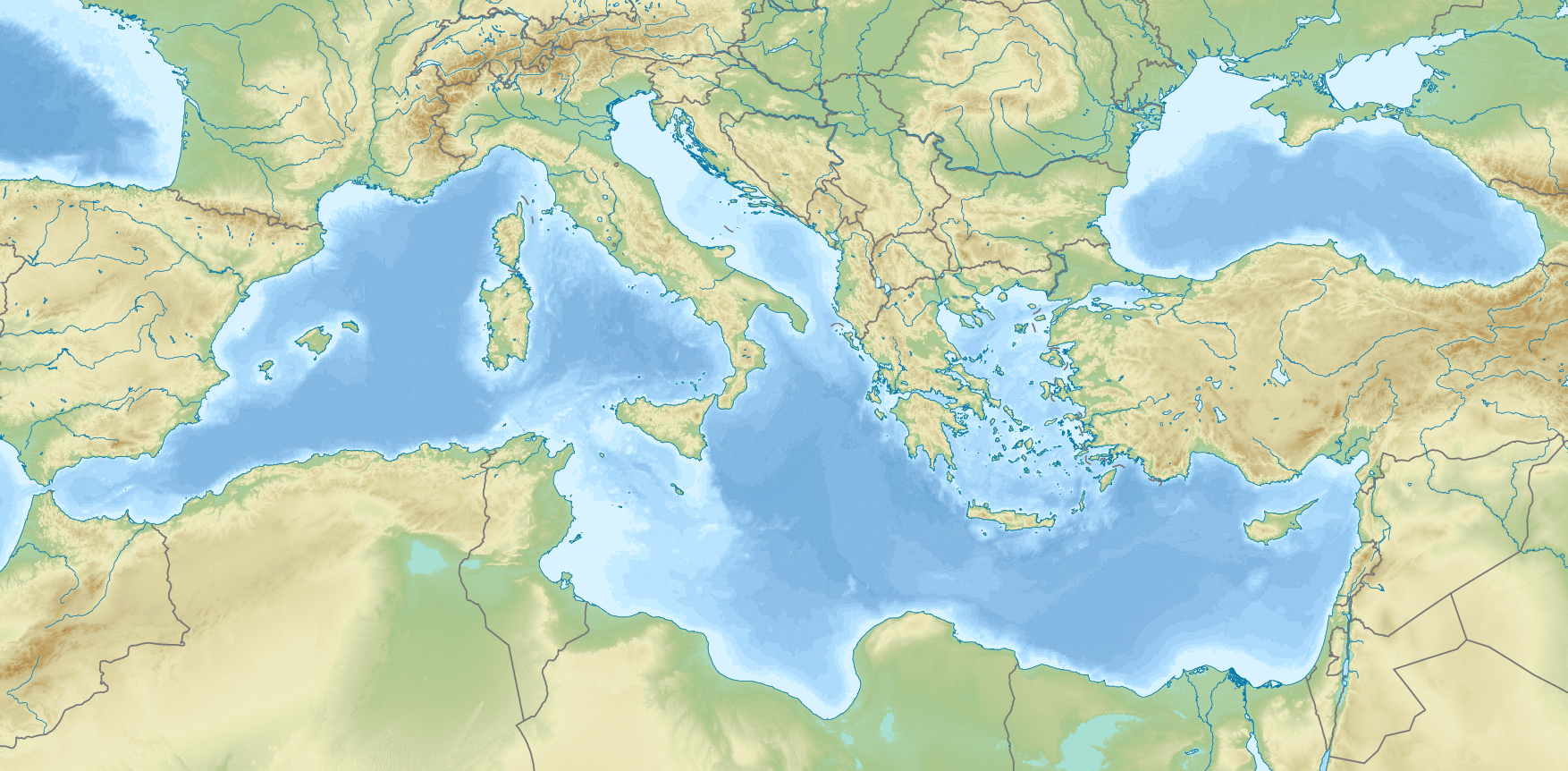
Русский: Физическая карта Средиземного моря. |
| Date | |
| Source |
|
| Author | Nzeemin |
| Other versions |
|
.png)


Licensing
I, the copyright holder of this work, hereby publish it under the following license:
This file is licensed under the Creative Commons Attribution-Share Alike 3.0 Unported license.
- You are free:
- to share – to copy, distribute and transmit the work
- to remix – to adapt the work
- Under the following conditions:
- attribution – You must give appropriate credit, provide a link to the license, and indicate if changes were made. You may do so in any reasonable manner, but not in any way that suggests the licensor endorses you or your use.
- share alike – If you remix, transform, or build upon the material, you must distribute your contributions under the same or compatible license as the original.
File history
Click on a date/time to view the file as it appeared at that time.
| Date/Time | Thumbnail | Dimensions | User | Comment | |
|---|---|---|---|---|---|
| current | 15:46, 27 February 2023 | | 1,754 × 862 (2.06 MB) | Shibbolet3579 | Vatican, border between southern Croatia and Montenegro added. |
| 17:04, 1 September 2012 |  | 1,754 × 862 (2.13 MB) | Nzeemin | User created page with UploadWizard |
File usage
More than 100 pages use this file. The following list shows the first 100 pages that use this file only. A full list is available.
- 1955 Alexandria earthquake
- 2002 Eastern Mediterranean event
- 2013 Lampedusa migrant shipwreck
- 365 Crete earthquake
- Acts 15
- Alboran Sea
- Antalya
- Assorus (Sicily)
- Aurignacian
- Aviano Air Base
- Battle of Abukir (1799)
- Battle of Abukir (1801)
- Battle of Alexandria (1801)
- Battle of Bir Hakeim
- Battle of Heliopolis (1800)
- Battle of Himera (480 BC)
- Battle of Immae
- Battle of Insubria
- Battle of Lilybaeum
- Battle of Mandora
- Battle of Mount Tabor (1799)
- Battle of Placentia (194 BC)
- Battle of Taginae
- Battle of Tricamarum
- Battle of Turin (312)
- Battle of Tzirallum
- Battle of Utica
- Battle of Verona (312)
- Battle of the Allia
- Battle of the Bagradas (49 BC)
- Battle of the Bagradas River (240 BC)
- Battle of the Cremera
- Battle of the Crimissus
- Battle of the Great Plains
- Battle of the Gulf of Roses
- Battle of the Lerna Mills
- Battle of the Lines of Elvas
- Battle of the Nile
- Battle of the Pyramids
- Battle of the Silarus
- Battle of the Tarigo Convoy
- Birgu
- Cospicua
- Dwarf elephant
- Ejdabrine
- Fungus Rock
- Gulf of Corinth
- HMT Rohna
- Hellenic Trench
- Hellenic arc
- Jebel ech Chambi
- L'Atalante basin
- Lake Visitor
- Lampione
- Libyan Sea
- Lérins Islands
- Malta convoys
- Mdina
- Mediterranean Sea
- Mersin
- Olynthus
- Operation Bowery
- Operation Collar (convoy)
- Operation Portcullis
- Operation Vigorous
- Painted Churches in the Troodos Region
- Pauline epistles
- Ptolemais in Phoenicia
- RAF Akrotiri
- Revolt of Cairo
- Senglea
- Siege of Acre (1799)
- Siege of Alexandria (1801)
- Siege of Constantinople (1411)
- Siege of Constantinople (626)
- Siege of Jaffa
- Siege of Jerusalem (1099)
- Siege of Verona
- Siege of Viterbo
- Siege of Zara
- Sixteenth Air Force
- Strait of Bonifacio
- Strait of Messina
- Tarshish
- Tunis
- Valletta
- Victoria, Malta
- User:Buaidh
- User:Halenes
- User:Morriswa/My userboxes
- User:Sernalhe
- User:SilentResident
- Wikipedia:Userboxes/Location
- Wikipedia:Userboxes/Travel
- Wikipedia:WikiProject Oceans
- Template:User WP Oceans
- Template:User WP Oceans/doc
- Template:User interest Mediterranean Sea
- Template:User interest Mediterranean Sea/doc
- Template:User interest oceans
View more links to this file.
Global file usage
The following other wikis use this file:
- Usage on af.wikipedia.org
- Usage on ar.wikipedia.org
- Usage on ast.wikipedia.org
- Usage on av.wikipedia.org
- Usage on azb.wikipedia.org
- Usage on az.wikipedia.org
- Usage on ba.wikipedia.org
- Usage on be-tarask.wikipedia.org
- Usage on be.wikipedia.org
- Usage on bg.wikipedia.org
- Usage on ca.wikipedia.org
- Usage on ceb.wikipedia.org
- Usage on ce.wikipedia.org
View more global usage of this file.