
File:Reichsstadt Bremen Territorium - F.A. Schrämbl, 1797.png
Size of this preview: 800 × 450 pixels. Other resolutions: 320 × 180 pixels | 640 × 360 pixels | 1,024 × 575 pixels | 1,280 × 719 pixels | 1,920 × 1,079 pixels.
Original file (1,920 × 1,079 pixels, file size: 3.78 MB, MIME type: image/png)
| This is a file from the Wikimedia Commons. Information from its description page there is shown below. Commons is a freely licensed media file repository. You can help. |
Summary
| Description |
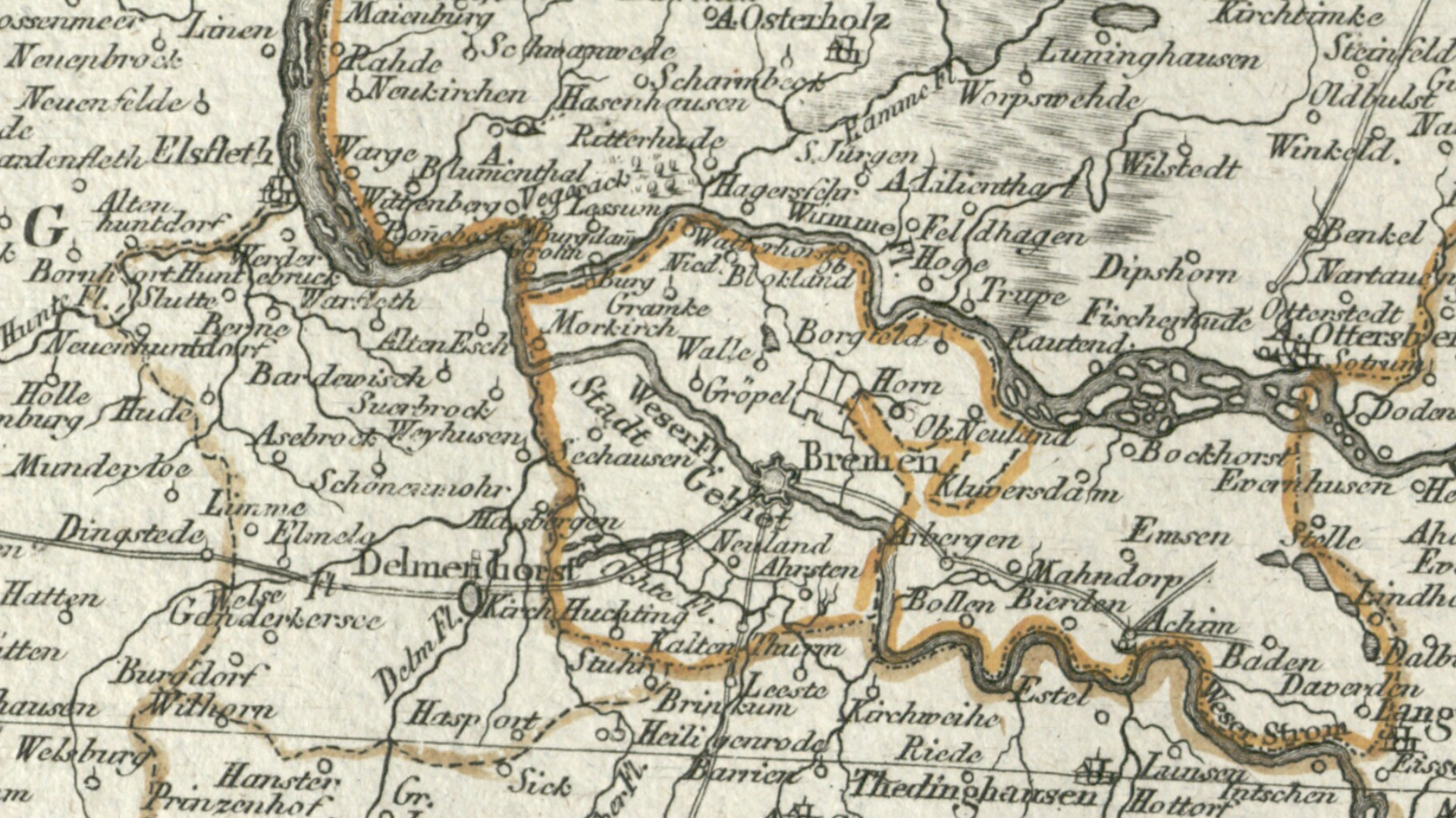
English: Detail cropped out of a late 18th century map showing the territory of the Free Imperial City of Bremen (center). Bremen also called itself the Free and Hanseatic City of Bremen. The territory north and east of Bremen was past of the Duchy of Bremen-Verden. The 24-leaf map, published in 1797 by F. A. Schrämbl was titled Neueste Generalkarte von Deutschland in XXIV Blättern. |
| Date | |
| Source | Moll's map collection |
| Author | F. A. Schrämbl |
Licensing
|
This work is in the public domain in its country of origin and other countries and areas where the copyright term is the author's life plus 100 years or fewer. | |
| This file has been identified as being free of known restrictions under copyright law, including all related and neighboring rights. | |
File history
Click on a date/time to view the file as it appeared at that time.
| Date/Time | Thumbnail | Dimensions | User | Comment | |
|---|---|---|---|---|---|
| current | 19:22, 29 August 2018 | | 1,920 × 1,079 (3.78 MB) | Lubiesque | User created page with UploadWizard |
File usage
The following pages on the English Wikipedia use this file (pages on other projects are not listed):
Global file usage
The following other wikis use this file:
- Usage on sl.wikipedia.org