
File:Rattray Head Lighthouse - geograph.org.uk - 195991.jpg

Size of this preview: 480 × 600 pixels. Other resolutions: 192 × 240 pixels | 512 × 640 pixels.
Original file (512 × 640 pixels, file size: 231 KB, MIME type: image/jpeg)
| This is a file from the Wikimedia Commons. Information from its description page there is shown below. Commons is a freely licensed media file repository. You can help. |
Summary
| Description |
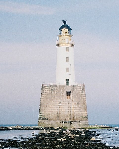
English: Rattray Head Lighthouse. The lighthouse and the rocks it stands on are the only land in this square. The GPS told me I was in square when I took the shot, which is just as well because the tide was rising and the rocky causeway is amazingly slippery! |
| Date | |
| Source | From geograph.org.uk |
| Author | Anne Burgess |
| Attribution (required by the license) | Anne Burgess / Rattray Head Lighthouse / |
| Camera location | | View this and other nearby images on: OpenStreetMap |
|---|
_heading:112.00&language=en)
| Object location | | View this and other nearby images on: OpenStreetMap |
|---|
_heading:112.00&language=en)
Licensing

|
This image was taken from the Geograph project collection. See this photograph's page on the Geograph website for the photographer's contact details. The copyright on this image is owned by Anne Burgess and is licensed for reuse under the Creative Commons Attribution-ShareAlike 2.0 license.
|
This file is licensed under the Creative Commons Attribution-Share Alike 2.0 Generic license.
Attribution: Anne Burgess
- You are free:
- to share – to copy, distribute and transmit the work
- to remix – to adapt the work
- Under the following conditions:
- attribution – You must give appropriate credit, provide a link to the license, and indicate if changes were made. You may do so in any reasonable manner, but not in any way that suggests the licensor endorses you or your use.
- share alike – If you remix, transform, or build upon the material, you must distribute your contributions under the same or compatible license as the original.
File history
Click on a date/time to view the file as it appeared at that time.
| Date/Time | Thumbnail | Dimensions | User | Comment | |
|---|---|---|---|---|---|
| current | 18:08, 31 January 2010 | | 512 × 640 (231 KB) | GeographBot | == {{int:filedesc}} == {{Information |description={{en|1=Rattray Head Lighthouse. The lighthouse and the rocks it stands on are the only land in this square. The GPS told me I was in square when I took the shot, which is just as well because the tide was |
File usage
The following pages on the English Wikipedia use this file (pages on other projects are not listed):
Global file usage
The following other wikis use this file:
- Usage on cs.wikipedia.org
- Usage on de.wikipedia.org
- Usage on fr.wikipedia.org
- Usage on www.wikidata.org