
File:Railway swing bridge over Caledonian Canal - geograph.org.uk - 1544077.jpg
No higher resolution available.
Railway_swing_bridge_over_Caledonian_Canal_-_geograph.org.uk_-_1544077.jpg (640 × 480 pixels, file size: 63 KB, MIME type: image/jpeg)
| This is a file from the Wikimedia Commons. Information from its description page there is shown below. Commons is a freely licensed media file repository. You can help. |
Summary
| Description |
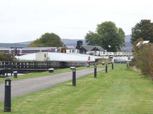
English: Railway swing bridge over Caledonian Canal At Clachnaharry; with a train from Inverness to Dingwall crossing. Français : Le pont tournant ferroviaire au-dessus du canal calédonien alors qu'un train le traverse, venant d'Inverness et allant vers Dingwall. |
| Date | |
| Source | From geograph.org.uk |
| Author | Stanley Howe |
| Attribution (required by the license) | Stanley Howe / Railway swing bridge over Caledonian Canal / |
| Camera location | | View this and other nearby images on: OpenStreetMap |
|---|
_heading:90.00&language=en)
| Object location | | View this and other nearby images on: OpenStreetMap |
|---|
_heading:90.00&language=en)
Licensing

|
This image was taken from the Geograph project collection. See this photograph's page on the Geograph website for the photographer's contact details. The copyright on this image is owned by Stanley Howe and is licensed for reuse under the Creative Commons Attribution-ShareAlike 2.0 license.
|
This file is licensed under the Creative Commons Attribution-Share Alike 2.0 Generic license.
Attribution: Stanley Howe
- You are free:
- to share – to copy, distribute and transmit the work
- to remix – to adapt the work
- Under the following conditions:
- attribution – You must give appropriate credit, provide a link to the license, and indicate if changes were made. You may do so in any reasonable manner, but not in any way that suggests the licensor endorses you or your use.
- share alike – If you remix, transform, or build upon the material, you must distribute your contributions under the same or compatible license as the original.
File history
Click on a date/time to view the file as it appeared at that time.
| Date/Time | Thumbnail | Dimensions | User | Comment | |
|---|---|---|---|---|---|
| current | 10:37, 3 March 2011 | | 640 × 480 (63 KB) | GeographBot | == {{int:filedesc}} == {{Information |description={{en|1=Railway swing bridge over Caledonian Canal At Clachnaharry; with a train from Inverness to Dingwall crossing.}} |date=2009-10-09 |source=From [http://www.geograph.org.uk/photo/1544077 geograph.org.u |
File usage
The following pages on the English Wikipedia use this file (pages on other projects are not listed):
Global file usage
The following other wikis use this file:
- Usage on eu.wikipedia.org
- Usage on fr.wikipedia.org
- Usage on ga.wikipedia.org
- Usage on www.wikidata.org