
File:Quebec-city-protests--yellow-zone.jpg
Size of this preview: 800 × 453 pixels. Other resolutions: 320 × 181 pixels | 640 × 363 pixels | 995 × 564 pixels.
Original file (995 × 564 pixels, file size: 827 KB, MIME type: image/jpeg)
| This is a file from the Wikimedia Commons. Information from its description page there is shown below. Commons is a freely licensed media file repository. You can help. |
Summary
| Description |
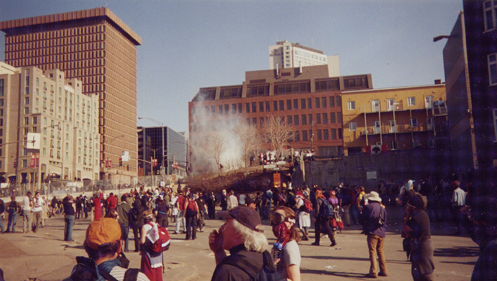
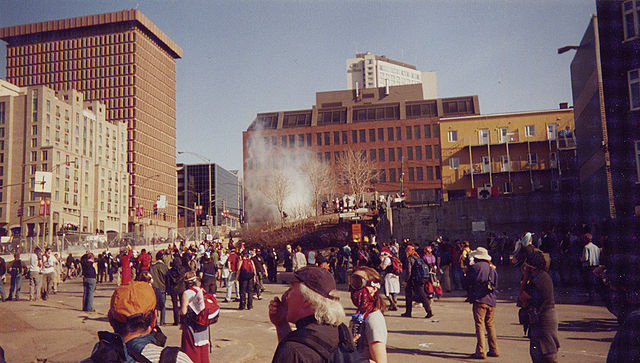
Français : Manifestations lors du Sommet des Amériques de Québec le 21 avril 2001, à l'intersection du boulevard Honoré-Mercier et de la rue Saint-Jean à Québec. On voit le gaz lacrymogène lancé par les policiers sur les manifestants et la clôture, ou « mur », entourant le lieu des rencontres entre les dignitaires. English: Protests during the 3rd Summit of the Americas on 21 April 2001 in Quebec City at the intersection of Boulevard Honoré-Mercier and Saint-Jean Street. Tear gas and the chain link wall around the conference precinct are seen. Personal snapshot by Montréalais. |
| Date | |
| Source | |
| Author |
| Camera location | | View this and other nearby images on: OpenStreetMap |
|---|
Licensing
| This file is licensed under the Creative Commons Attribution-Share Alike 3.0 Unported license. Subject to disclaimers. | ||
| ||
| This licensing tag was added to this file as part of the GFDL licensing update. |

|
Permission is granted to copy, distribute and/or modify this document under the terms of the GNU Free Documentation License, Version 1.2 or any later version published by the Free Software Foundation; with no Invariant Sections, no Front-Cover Texts, and no Back-Cover Texts. A copy of the license is included in the section entitled GNU Free Documentation License. Subject to disclaimers. |
File history
Click on a date/time to view the file as it appeared at that time.
| Date/Time | Thumbnail | Dimensions | User | Comment | |
|---|---|---|---|---|---|
| current | 07:53, 11 December 2005 | | 995 × 564 (827 KB) | Colocho | Quebec City protests, April 21, 2001 -- "Green zone" permitted protest proceeds along the Autoroute Laurentienne. Personal snapshot by Montréalais. |
File usage
The following pages on the English Wikipedia use this file (pages on other projects are not listed):
Global file usage
The following other wikis use this file:
- Usage on ca.wikipedia.org
- Usage on es.wikipedia.org
- Usage on fr.wikipedia.org
- Usage on zh.wikipedia.org