
File:Prince-of-Wales-Island, Torres Strait (Landsat).jpg

Size of this preview: 587 × 599 pixels. Other resolutions: 235 × 240 pixels | 470 × 480 pixels | 715 × 730 pixels.
Original file (715 × 730 pixels, file size: 36 KB, MIME type: image/jpeg)
| This is a file from the Wikimedia Commons. Information from its description page there is shown below. Commons is a freely licensed media file repository. You can help. |
.jpg)
Summary
| Description |
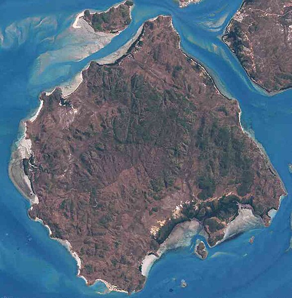
English: Prince-of-Wales-Island, Inner Torres Strait Islands, Queensland, Australia |
| Date | |
| Source | http://oceancolor.gsfc.nasa.gov/cgi/landsat_extract.pl?path=99&row=67&x=1273&y=2264&n=0&t=321 |
| Author | NASA |
Merged 9 close-by tiles from NASA-Landsat (30-meter resolution) mosaics. Other Source goes from (Northwest) Left top corner (http://oceancolor.gsfc.nasa.gov/cgi/landsat_extract.pl?path=99&row=67&x=1273&y=1804&n=0&t=321) to (Southeast) Right bottom corner (http://oceancolor.gsfc.nasa.gov/cgi/landsat_extract.pl?path=99&row=67&x=1733&y=2494&n=0&t=321)
Licensing
| This file is in the public domain in the United States because it was solely created by NASA. NASA copyright policy states that "NASA material is not protected by copyright unless noted". (See Template:PD-USGov, NASA copyright policy page or JPL Image Use Policy.) | ||
 |
Warnings:
|
File history
Click on a date/time to view the file as it appeared at that time.
| Date/Time | Thumbnail | Dimensions | User | Comment | |
|---|---|---|---|---|---|
| current | 11:29, 11 November 2011 | | 715 × 730 (36 KB) | Wurfzoll |
File usage
The following pages on the English Wikipedia use this file (pages on other projects are not listed):
Global file usage
The following other wikis use this file:
- Usage on arz.wikipedia.org
- Usage on ceb.wikipedia.org
- Usage on de.wikipedia.org
- Usage on eu.wikipedia.org
- Usage on it.wikipedia.org
- Usage on pl.wikipedia.org
- Usage on www.wikidata.org
.jpg)